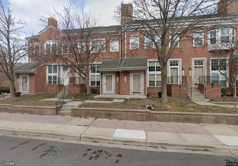
134 Allenhurst Ave Royal Oak, MI 48067
Estimated Value: $290,208 - $323,000
2
Beds
1
Bath
783
Sq Ft
$394/Sq Ft
Est. Value
About This Home
This home is located at 134 Allenhurst Ave, Royal Oak, MI 48067 and is currently estimated at $308,802, approximately $394 per square foot. 134 Allenhurst Ave is a home located in Oakland County with nearby schools including Northwood Elementary School, Royal Oak Middle School, and Royal Oak High School.
Ownership History
Date
Name
Owned For
Owner Type
Purchase Details
Closed on
Nov 22, 2005
Sold by
Tomezak Ruth Ann and Advanced Financial Services In
Bought by
Main Street Square Of Royal Oak Condomin
Current Estimated Value
Purchase Details
Closed on
Nov 18, 1994
Sold by
American Quality Homes I
Bought by
Tomezak Ruth A
Home Financials for this Owner
Home Financials are based on the most recent Mortgage that was taken out on this home.
Original Mortgage
$68,400
Interest Rate
8.91%
Create a Home Valuation Report for This Property
The Home Valuation Report is an in-depth analysis detailing your home's value as well as a comparison with similar homes in the area
Home Values in the Area
Average Home Value in this Area
Purchase History
| Date | Buyer | Sale Price | Title Company |
|---|---|---|---|
| Main Street Square Of Royal Oak Condomin | $4,468 | None Available | |
| Tomezak Ruth A | $85,569 | -- |
Source: Public Records
Mortgage History
| Date | Status | Borrower | Loan Amount |
|---|---|---|---|
| Previous Owner | Tomezak Ruth A | $68,400 |
Source: Public Records
Tax History Compared to Growth
Tax History
| Year | Tax Paid | Tax Assessment Tax Assessment Total Assessment is a certain percentage of the fair market value that is determined by local assessors to be the total taxable value of land and additions on the property. | Land | Improvement |
|---|---|---|---|---|
| 2024 | $3,877 | $120,250 | $0 | $0 |
| 2022 | $4,434 | $108,080 | $0 | $0 |
| 2020 | $3,738 | $0 | $0 | $0 |
| 2018 | $4,434 | $93,990 | $0 | $0 |
| 2017 | $3,817 | $93,990 | $0 | $0 |
| 2015 | -- | $83,200 | $0 | $0 |
| 2014 | -- | $76,410 | $0 | $0 |
| 2011 | -- | $62,370 | $0 | $0 |
Source: Public Records
Map
Nearby Homes
- 175 W Kenilworth Ave
- 138 Tiffany Ln Unit 90
- 1441 S Main St Unit 38
- 201 W Parent Ave
- 127 W Parent Ave
- 207 W Parent Ave
- 201 W Harrison Ave
- 202 Stonebrooke Ct
- 129 E Maryland Ave
- 1021 S Washington Ave Unit G
- 338 W Harrison Ave
- 333 E Parent Ave Unit 32
- 333 E Parent Ave Unit 26
- 333 E Parent Ave Unit 10
- 322 E Harrison Ave Unit 18
- 902 S Washington Ave
- 1455 Chesapeake
- 1509 Chesapeake Unit 27
- 1510 Maryland Club Dr
- 1566 Maryland Club Dr
- 1345 S Washington Ave Unit 122
- 1317 S Washington Ave Unit Bldg-Unit
- 1315 S Washington Ave Unit Bldg-Unit
- 1342 S Main St Unit Bldg-Unit
- 173 W Kenilworth Ave Unit 17
- 1347 S Washington Ave
- 1349 S Washington Ave
- 1345 S Washington Ave
- 1339 S Washington Ave
- 1341 S Washington Ave
- 1335 S Washington Ave Unit 117
- 1331 S Washington Ave Unit 116
- 1333 S Washington Ave Unit 115
- 1329 S Washington Ave
- 1323 S Washington Ave Unit 112
- 1325 S Washington Ave Unit 111
- 1321 S Washington Ave Unit 110
- 1319 S Washington Ave Unit 109
- 1315 S Washington Ave
- 1317 S Washington Ave Unit 107