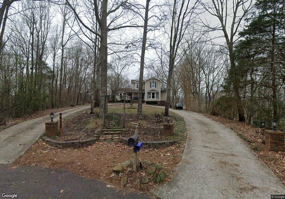
134 Bluff View Dr W Scottsboro, AL 35769
Estimated Value: $295,779 - $674,000
--
Bed
1
Bath
1,489
Sq Ft
$290/Sq Ft
Est. Value
About This Home
This home is located at 134 Bluff View Dr W, Scottsboro, AL 35769 and is currently estimated at $432,195, approximately $290 per square foot. 134 Bluff View Dr W is a home with nearby schools including Scottsboro High School.
Ownership History
Date
Name
Owned For
Owner Type
Purchase Details
Closed on
Aug 26, 2014
Sold by
Hamilton H Hamilton H and Snow Cassie A
Bought by
Roland Martin and Roland Rachael
Current Estimated Value
Home Financials for this Owner
Home Financials are based on the most recent Mortgage that was taken out on this home.
Original Mortgage
$232,750
Outstanding Balance
$178,514
Interest Rate
4.19%
Mortgage Type
New Conventional
Estimated Equity
$253,681
Create a Home Valuation Report for This Property
The Home Valuation Report is an in-depth analysis detailing your home's value as well as a comparison with similar homes in the area
Home Values in the Area
Average Home Value in this Area
Purchase History
| Date | Buyer | Sale Price | Title Company |
|---|---|---|---|
| Roland Martin | $245,000 | -- |
Source: Public Records
Mortgage History
| Date | Status | Borrower | Loan Amount |
|---|---|---|---|
| Open | Roland Martin | $232,750 |
Source: Public Records
Tax History Compared to Growth
Tax History
| Year | Tax Paid | Tax Assessment Tax Assessment Total Assessment is a certain percentage of the fair market value that is determined by local assessors to be the total taxable value of land and additions on the property. | Land | Improvement |
|---|---|---|---|---|
| 2024 | $1,206 | $24,200 | $0 | $0 |
| 2023 | $1,125 | $24,200 | $0 | $0 |
| 2022 | $1,076 | $23,200 | $0 | $0 |
| 2021 | $1,076 | $23,200 | $0 | $0 |
| 2020 | $1,012 | $21,880 | $0 | $0 |
| 2019 | $905 | $19,680 | $0 | $0 |
| 2018 | $905 | $19,680 | $0 | $0 |
| 2017 | $905 | $196,700 | $0 | $0 |
| 2016 | $845 | $184,400 | $0 | $0 |
| 2015 | $751 | $184,400 | $0 | $0 |
| 2014 | $751 | $184,400 | $0 | $0 |
| 2013 | -- | $184,400 | $0 | $0 |
Source: Public Records
Map
Nearby Homes
- 42 Sherwood Dr
- Lots 21&22 Payne Cir
- 114 Cherokee Rd
- 126 Hurt St
- .68 Acres Veterans Dr
- 2410 Veterans Dr
- 191 Richard Ave
- 29 Clark Trail
- 17 Moon Dr
- 14 Moon Dr
- 25 Clark Trail
- 27 Clark Trail
- Lakeside Plan at Jackson Bend
- Kerry Plan at Jackson Bend
- Freeport Plan at Jackson Bend
- Aria Plan at Jackson Bend
- Cali Plan at Jackson Bend
- 18 Moon Dr
- 19 Moon Dr
- 3.6 acres Gant Rd
- 124 Bluff View Dr W
- 78 Bluff View Dr W
- Lots 53 & 54 Bluff View Dr W
- 48 Springhill Dr
- 32 Bluff View Dr W
- 4 Bluff View Dr W
- 26 Springhill Dr
- 142 River Ridge Cir
- 0 River Ridge Cir
- 865 Clemons Rd
- 0 Bluff View Dr
- 100 River Ridge Cir
- 159 River Ridge Cir
- 89 River Ridge Cir
- 76 River Ridge Cir
- 55 Bluff View Dr W
- 50 River Ridge Cir
- 528 Cherokee Rd
- 19 River Ridge Cir
- 10 River Ridge Rd Unit 1