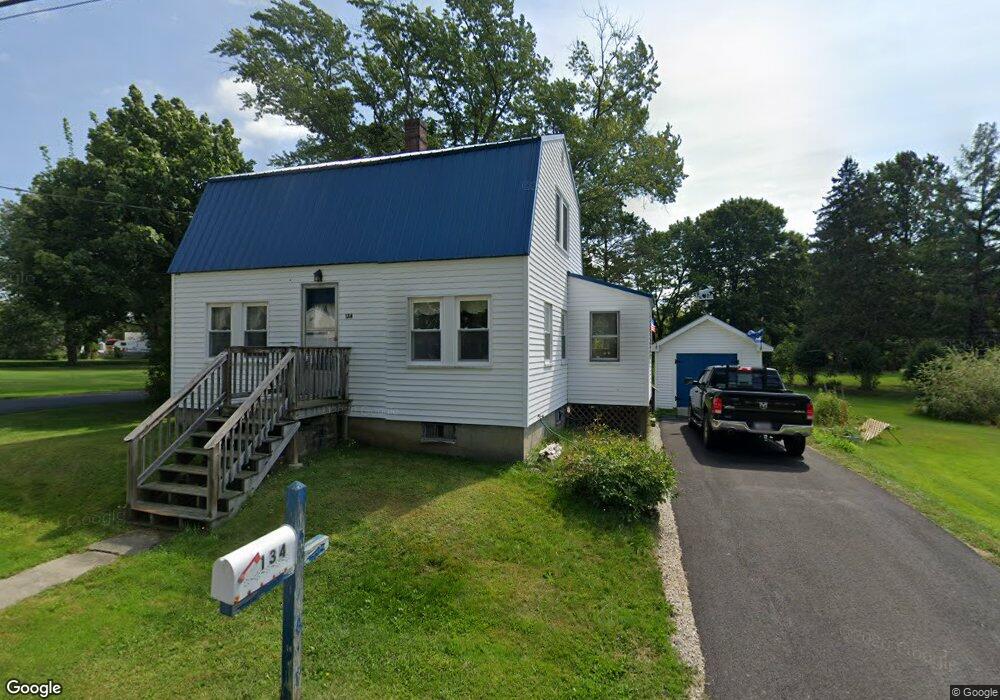
134 Bolt Hill Rd Eliot, ME 03903
South Eliot NeighborhoodEstimated Value: $478,089 - $588,000
3
Beds
1
Bath
1,746
Sq Ft
$305/Sq Ft
Est. Value
About This Home
This home is located at 134 Bolt Hill Rd, Eliot, ME 03903 and is currently estimated at $531,772, approximately $304 per square foot. 134 Bolt Hill Rd is a home located in York County with nearby schools including Marshwood High School and Seacoast Waldorf School.
Create a Home Valuation Report for This Property
The Home Valuation Report is an in-depth analysis detailing your home's value as well as a comparison with similar homes in the area
Home Values in the Area
Average Home Value in this Area
Tax History Compared to Growth
Tax History
| Year | Tax Paid | Tax Assessment Tax Assessment Total Assessment is a certain percentage of the fair market value that is determined by local assessors to be the total taxable value of land and additions on the property. | Land | Improvement |
|---|---|---|---|---|
| 2024 | $3,235 | $273,000 | $130,900 | $142,100 |
| 2023 | $3,185 | $260,000 | $124,400 | $135,600 |
| 2022 | $3,069 | $253,600 | $124,400 | $129,200 |
| 2021 | $2,605 | $222,400 | $94,700 | $127,700 |
| 2020 | $428 | $204,400 | $90,200 | $114,200 |
| 2019 | $3,005 | $204,400 | $90,200 | $114,200 |
| 2018 | $488 | $204,400 | $90,200 | $114,200 |
| 2017 | $2,923 | $204,400 | $90,200 | $114,200 |
| 2016 | $2,872 | $204,400 | $90,200 | $114,200 |
| 2015 | $2,862 | $204,400 | $90,200 | $114,200 |
| 2014 | $2,807 | $203,400 | $90,200 | $113,200 |
| 2013 | $2,652 | $201,400 | $90,200 | $111,200 |
Source: Public Records
Map
Nearby Homes
- 35 Leach Rd
- 493 Main St
- 850 Main St
- 8 Caslyn Dr
- 956 Main St
- 5 Spinney Way Unit 9
- 0 Franks Fort Island Unit 1631886
- 124 Spinnaker Way
- 7 Fernald Rd
- 201 Kearsarge Way
- 3 Shearwater Dr Unit 1900
- 25 Mangrove St
- 19 Shearwater Dr Unit 1903
- 15 Shearwater Dr Unit 1902
- 37 Shearwater Dr Unit 1906
- 14 Birch St
- 25 Oak Terrace
- 27 Oak Terrace
- 51 Granite St
- 1338 Woodbury Ave Unit 10