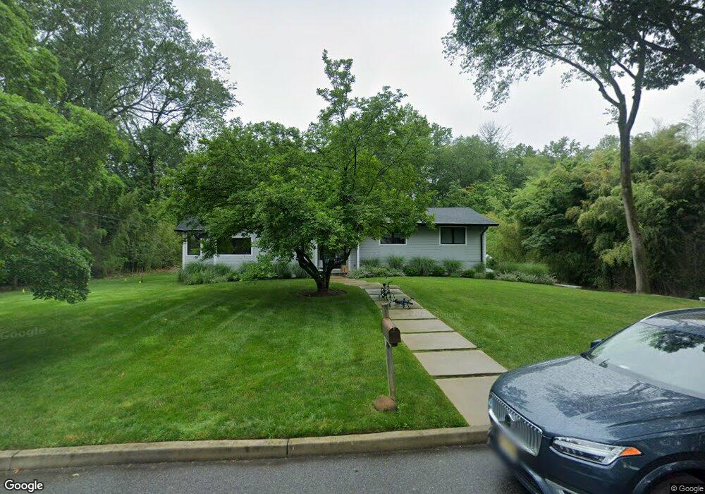
134 Brook St Haworth, NJ 07641
Estimated Value: $1,018,000 - $1,383,000
4
Beds
3
Baths
2,900
Sq Ft
$434/Sq Ft
Est. Value
About This Home
This home is located at 134 Brook St, Haworth, NJ 07641 and is currently estimated at $1,259,752, approximately $434 per square foot. 134 Brook St is a home located in Bergen County with nearby schools including Haworth Elementary School, Northern Valley Regional High School at Demarest, and St. Joseph School.
Ownership History
Date
Name
Owned For
Owner Type
Purchase Details
Closed on
Jul 14, 2021
Sold by
Bernstein Deborah R and Bernstein Cynthia M
Bought by
Rapaport Bahr and Rapaport Jillian
Current Estimated Value
Home Financials for this Owner
Home Financials are based on the most recent Mortgage that was taken out on this home.
Original Mortgage
$572,000
Outstanding Balance
$519,791
Interest Rate
3%
Mortgage Type
New Conventional
Estimated Equity
$739,961
Create a Home Valuation Report for This Property
The Home Valuation Report is an in-depth analysis detailing your home's value as well as a comparison with similar homes in the area
Home Values in the Area
Average Home Value in this Area
Purchase History
| Date | Buyer | Sale Price | Title Company |
|---|---|---|---|
| Rapaport Bahr | $715,000 | Acres Land Title Agency Inc |
Source: Public Records
Mortgage History
| Date | Status | Borrower | Loan Amount |
|---|---|---|---|
| Open | Rapaport Bahr | $572,000 |
Source: Public Records
Tax History Compared to Growth
Tax History
| Year | Tax Paid | Tax Assessment Tax Assessment Total Assessment is a certain percentage of the fair market value that is determined by local assessors to be the total taxable value of land and additions on the property. | Land | Improvement |
|---|---|---|---|---|
| 2025 | $22,692 | $733,900 | $339,300 | $394,600 |
| 2024 | $22,325 | $733,900 | $339,300 | $394,600 |
| 2023 | $21,863 | $733,900 | $339,300 | $394,600 |
| 2022 | $19,518 | $655,200 | $339,300 | $315,900 |
| 2021 | $19,289 | $655,200 | $339,300 | $315,900 |
| 2020 | $19,125 | $655,200 | $339,300 | $315,900 |
| 2019 | $19,073 | $655,200 | $339,300 | $315,900 |
| 2018 | $18,785 | $655,200 | $339,300 | $315,900 |
| 2017 | $18,889 | $655,200 | $339,300 | $315,900 |
| 2016 | $19,066 | $655,200 | $339,300 | $315,900 |
| 2015 | $18,313 | $655,200 | $339,300 | $315,900 |
| 2014 | $18,031 | $655,200 | $339,300 | $315,900 |
Source: Public Records
Map
Nearby Homes
- 144 Brook St
- 114 Brook St
- 481 Beech St
- 520 Saint Nicholas Ave
- 478 Saint Nicholas Ave
- 520 Beech St
- 480 Beech St
- 495 Ivy Ave
- 156 Brook St
- 465 Beech St
- 509 Saint Nicholas Ave
- 528 Beech St
- 515 Ivy Ave
- 472 Saint Nicholas Ave
- 481 Ivy Ave
- 531 Saint Nicholas Ave
- 468 Beech St
- 155 Brook St
- 144 Lakeside W
- 532 Beech St