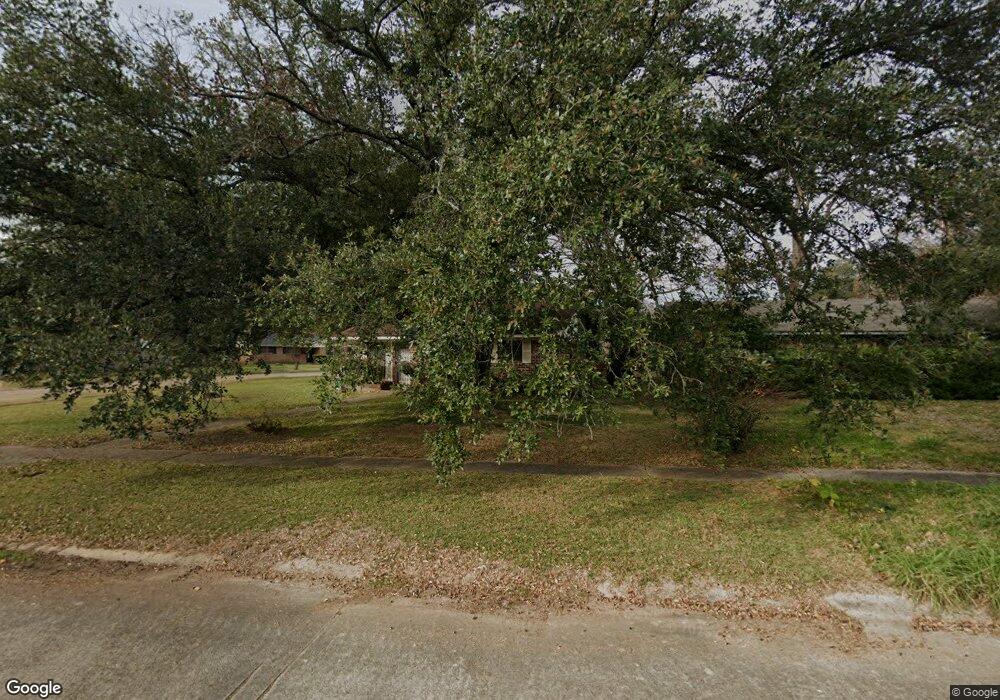
134 Brookbriar Dr Shreveport, LA 71107
Freestate-North Highlands NeighborhoodEstimated Value: $92,000 - $119,000
3
Beds
2
Baths
1,249
Sq Ft
$82/Sq Ft
Est. Value
About This Home
This home is located at 134 Brookbriar Dr, Shreveport, LA 71107 and is currently estimated at $101,798, approximately $81 per square foot. 134 Brookbriar Dr is a home located in Caddo Parish with nearby schools including Cherokee Park Elementary School, Fairfield Magnet School, and Claiborne Fundamental Elementary School.
Ownership History
Date
Name
Owned For
Owner Type
Purchase Details
Closed on
Apr 12, 2007
Sold by
Jackson Angela Combs Johnson and Jackson Alvin
Bought by
Payton Eva J and Payton Albert B
Current Estimated Value
Home Financials for this Owner
Home Financials are based on the most recent Mortgage that was taken out on this home.
Original Mortgage
$70,948
Outstanding Balance
$42,991
Interest Rate
6.19%
Mortgage Type
Unknown
Estimated Equity
$58,807
Create a Home Valuation Report for This Property
The Home Valuation Report is an in-depth analysis detailing your home's value as well as a comparison with similar homes in the area
Home Values in the Area
Average Home Value in this Area
Purchase History
| Date | Buyer | Sale Price | Title Company |
|---|---|---|---|
| Payton Eva J | $74,900 | None Available |
Source: Public Records
Mortgage History
| Date | Status | Borrower | Loan Amount |
|---|---|---|---|
| Open | Payton Eva J | $70,948 |
Source: Public Records
Tax History Compared to Growth
Tax History
| Year | Tax Paid | Tax Assessment Tax Assessment Total Assessment is a certain percentage of the fair market value that is determined by local assessors to be the total taxable value of land and additions on the property. | Land | Improvement |
|---|---|---|---|---|
| 2024 | $870 | $5,580 | $1,474 | $4,106 |
| 2023 | $878 | $5,510 | $1,404 | $4,106 |
| 2022 | $878 | $5,510 | $1,404 | $4,106 |
| 2021 | $865 | $5,510 | $1,404 | $4,106 |
| 2020 | $865 | $5,510 | $1,404 | $4,106 |
| 2019 | $884 | $5,466 | $1,404 | $4,062 |
| 2018 | $0 | $5,466 | $1,404 | $4,062 |
| 2017 | $898 | $5,466 | $1,404 | $4,062 |
| 2015 | -- | $5,530 | $1,400 | $4,130 |
| 2014 | -- | $5,530 | $1,400 | $4,130 |
| 2013 | -- | $5,530 | $1,400 | $4,130 |
Source: Public Records
Map
Nearby Homes
- 1113 Fenwick Dr
- 118 Mayfair Dr
- 413 Seneca Trail
- 726 Tecumseh Trail
- 842 Navaho Trail
- 0 Silver Point Dr Unit 3 20803133
- 0 Silver Point Dr Unit 11 20803059
- 0 Silver Point Dr Unit 7 20803008
- 0 Silver Point Dr Unit 5A 20802976
- 0 Silver Point Dr Unit 4 20796401
- 1805 Traffic St
- 202 Kelly St
- 1205 W 2nd St
- 0 Hwy 1 Unit 20326562
- 629 Yarborough St
- 608 Kelly St
- 614 Kelly St
- 105 Adair St
- 521 Wyche St
- 1103 Peach St
- 130 Brookbriar Dr
- 1106 Graystone Dr
- 126 Brookbriar Dr
- 202 Brookbriar Dr
- 1105 Graystone Dr
- 1110 Graystone Dr
- 133 Brookbriar Dr
- 141 Brookbriar Dr
- 1101 Heatherwood Dr
- 1109 Graystone Dr
- 210 Brookbriar Dr
- 129 Brookbriar Dr
- 1105 Heatherwood Dr
- 1113 Graystone Dr
- 137 Brookbriar Dr
- 125 Brookbriar Dr
- 1114 Graystone Dr
- 216 Brookbriar Dr
- 1109 Heatherwood Dr
- 1117 Graystone Dr