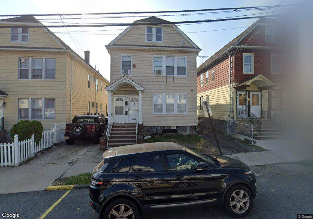
134 Buffalo Ave Unit 136 Paterson, NJ 07503
South Paterson NeighborhoodEstimated Value: $498,000 - $717,000
--
Bed
--
Bath
2,200
Sq Ft
$289/Sq Ft
Est. Value
About This Home
This home is located at 134 Buffalo Ave Unit 136, Paterson, NJ 07503 and is currently estimated at $636,882, approximately $289 per square foot. 134 Buffalo Ave Unit 136 is a home located in Passaic County with nearby schools including Dale Avenue Elementary School, Edward W. Kilpatrick School of Discovery, and Paterson Public School No. 3.
Ownership History
Date
Name
Owned For
Owner Type
Purchase Details
Closed on
Sep 17, 1997
Sold by
Borrero Virgilio and Borrero Carmen
Bought by
Nunez Neftali A and Nunez Rosanna M
Current Estimated Value
Home Financials for this Owner
Home Financials are based on the most recent Mortgage that was taken out on this home.
Original Mortgage
$149,285
Outstanding Balance
$23,013
Interest Rate
7.41%
Mortgage Type
FHA
Estimated Equity
$613,869
Create a Home Valuation Report for This Property
The Home Valuation Report is an in-depth analysis detailing your home's value as well as a comparison with similar homes in the area
Home Values in the Area
Average Home Value in this Area
Purchase History
| Date | Buyer | Sale Price | Title Company |
|---|---|---|---|
| Nunez Neftali A | $151,000 | -- |
Source: Public Records
Mortgage History
| Date | Status | Borrower | Loan Amount |
|---|---|---|---|
| Open | Nunez Neftali A | $149,285 |
Source: Public Records
Tax History Compared to Growth
Tax History
| Year | Tax Paid | Tax Assessment Tax Assessment Total Assessment is a certain percentage of the fair market value that is determined by local assessors to be the total taxable value of land and additions on the property. | Land | Improvement |
|---|---|---|---|---|
| 2025 | $13,828 | $271,400 | $60,300 | $211,100 |
| 2024 | $13,307 | $271,400 | $60,300 | $211,100 |
| 2022 | $12,598 | $271,400 | $60,300 | $211,100 |
| 2021 | $12,148 | $271,400 | $60,300 | $211,100 |
| 2020 | $11,331 | $271,400 | $60,300 | $211,100 |
| 2019 | $10,976 | $265,500 | $59,300 | $206,200 |
| 2018 | $10,426 | $241,000 | $58,900 | $182,100 |
| 2017 | $9,955 | $239,300 | $58,700 | $180,600 |
| 2016 | $10,960 | $252,600 | $61,700 | $190,900 |
| 2015 | $10,377 | $252,600 | $61,700 | $190,900 |
| 2014 | $12,366 | $426,400 | $214,900 | $211,500 |
Source: Public Records
Map
Nearby Homes
- 45 Dey St
- 126 Gould Ave
- 41 Columbia Ave
- 218 W 2nd St
- 179 W 3rd St
- 170 W 4th St
- 339 Paxton St
- 92 Wabash Ave
- 165 E 2nd St
- 366-2-382 Trenton Ave Unit 5D
- 366-2-382 Trenton Ave Unit 5B
- 366 Trenton Ave Unit 4F
- 432 Trenton Ave
- 432-434 Trenton Ave Unit 7
- 26 Edward Ct
- 24 6th Ave
- 93 Bloomfield Ave
- 1252 Madison Ave Unit 1254
- 71 Fernwood Ct
- 132-134 Buffalo Ave
- 132 Buffalo Ave Unit 134
- 130 Buffalo Ave Unit 132
- 460 Getty Ave
- 462 Getty Ave Unit 464
- 126 Buffalo Ave Unit 128
- 464 Getty Ave Unit 466
- 129 Buffalo Ave Unit 131
- 446-448 Getty Ave
- 446 Getty Ave Unit 448
- 133 Buffalo Ave Unit 135
- 131 Buffalo Ave Unit 133
- 444 Getty Ave Unit 446
- 127 Buffalo Ave Unit 129
- 466 Getty Ave Unit 470
- 122-124 Buffalo Ave Unit 4
- 122-124 Buffalo Ave
- 122-124 Buffalo Ave Unit 2
- 122 Buffalo Ave Unit 4
- 122 Buffalo Ave Unit 2