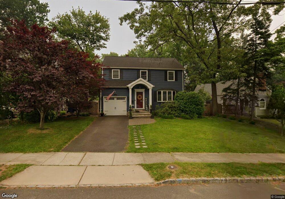
134 Burns Way Fanwood, NJ 07023
Estimated Value: $751,368 - $824,000
--
Bed
--
Bath
1,637
Sq Ft
$474/Sq Ft
Est. Value
About This Home
This home is located at 134 Burns Way, Fanwood, NJ 07023 and is currently estimated at $776,092, approximately $474 per square foot. 134 Burns Way is a home located in Union County with nearby schools including William J. McGinn Elementary School, Terrill Middle School, and Scotch Plains-Fanwood High School.
Ownership History
Date
Name
Owned For
Owner Type
Purchase Details
Closed on
Jan 19, 2001
Sold by
Sproul Kenneth Mark and Sproul Alexandra
Bought by
Burfeindt Craig and Burfeindt Lisa
Current Estimated Value
Home Financials for this Owner
Home Financials are based on the most recent Mortgage that was taken out on this home.
Original Mortgage
$239,200
Outstanding Balance
$85,874
Interest Rate
7.52%
Estimated Equity
$690,218
Purchase Details
Closed on
Mar 3, 1999
Sold by
Sieredzki John P and Sieredzki Jane L
Bought by
Sproul Kenneth Mark and Rebisz Alexandra
Home Financials for this Owner
Home Financials are based on the most recent Mortgage that was taken out on this home.
Original Mortgage
$172,000
Interest Rate
6.85%
Create a Home Valuation Report for This Property
The Home Valuation Report is an in-depth analysis detailing your home's value as well as a comparison with similar homes in the area
Home Values in the Area
Average Home Value in this Area
Purchase History
| Date | Buyer | Sale Price | Title Company |
|---|---|---|---|
| Burfeindt Craig | $299,000 | Chicago Title Insurance Co | |
| Sproul Kenneth Mark | $215,000 | -- |
Source: Public Records
Mortgage History
| Date | Status | Borrower | Loan Amount |
|---|---|---|---|
| Open | Burfeindt Craig | $239,200 | |
| Previous Owner | Sproul Kenneth Mark | $172,000 |
Source: Public Records
Tax History Compared to Growth
Tax History
| Year | Tax Paid | Tax Assessment Tax Assessment Total Assessment is a certain percentage of the fair market value that is determined by local assessors to be the total taxable value of land and additions on the property. | Land | Improvement |
|---|---|---|---|---|
| 2025 | $13,866 | $472,100 | $247,000 | $225,100 |
| 2024 | $13,427 | $472,100 | $247,000 | $225,100 |
| 2023 | $13,427 | $472,100 | $247,000 | $225,100 |
| 2022 | $13,252 | $472,100 | $247,000 | $225,100 |
| 2021 | $13,120 | $472,100 | $247,000 | $225,100 |
| 2020 | $12,733 | $472,100 | $247,000 | $225,100 |
| 2019 | $11,163 | $76,200 | $26,800 | $49,400 |
| 2018 | $10,993 | $75,600 | $26,800 | $48,800 |
| 2017 | $10,767 | $75,600 | $26,800 | $48,800 |
| 2016 | $10,443 | $75,600 | $26,800 | $48,800 |
| 2015 | $10,011 | $72,000 | $26,800 | $45,200 |
| 2014 | $9,430 | $72,000 | $26,800 | $45,200 |
Source: Public Records
Map
Nearby Homes
- 5 Robin Rd
- 32 Gere Place
- 187 King St
- 120 S Martine Ave
- 36 2nd St
- 481 Terrill Rd
- 193 South Ave
- 15 La Grande Ave
- 40 1st St
- 345 La Grande Ave
- 939-45 Post Dr
- 21 Old South Ave
- 71 Willoughby Rd
- 1933 Mary Ellen Ln
- 351 Terrill Rd
- 183 Watson Rd
- 1933 W Broad St
- 848 Adam Cir
- 31 Stewart Place
- 1415 George St Unit 23