134 Canterbury Dr Stafford, VA 22554
Fritters Corner NeighborhoodEstimated Value: $1,389,506 - $1,862,000
4
Beds
6
Baths
7,426
Sq Ft
$208/Sq Ft
Est. Value
About This Home
This home is located at 134 Canterbury Dr, Stafford, VA 22554 and is currently estimated at $1,543,127, approximately $207 per square foot. 134 Canterbury Dr is a home located in Stafford County with nearby schools including Stafford Elementary School, Stafford Middle School, and Brooke Point High School.
Ownership History
Date
Name
Owned For
Owner Type
Purchase Details
Closed on
Nov 29, 2005
Sold by
Weselin Dietmar
Bought by
Brown Michael J
Current Estimated Value
Home Financials for this Owner
Home Financials are based on the most recent Mortgage that was taken out on this home.
Original Mortgage
$437,500
Outstanding Balance
$242,598
Interest Rate
6.14%
Mortgage Type
New Conventional
Estimated Equity
$1,300,529
Create a Home Valuation Report for This Property
The Home Valuation Report is an in-depth analysis detailing your home's value as well as a comparison with similar homes in the area
Home Values in the Area
Average Home Value in this Area
Purchase History
| Date | Buyer | Sale Price | Title Company |
|---|---|---|---|
| Brown Michael J | $1,250,000 | -- |
Source: Public Records
Mortgage History
| Date | Status | Borrower | Loan Amount |
|---|---|---|---|
| Open | Brown Michael J | $437,500 |
Source: Public Records
Tax History Compared to Growth
Tax History
| Year | Tax Paid | Tax Assessment Tax Assessment Total Assessment is a certain percentage of the fair market value that is determined by local assessors to be the total taxable value of land and additions on the property. | Land | Improvement |
|---|---|---|---|---|
| 2025 | $12,139 | $1,338,800 | $285,000 | $1,053,800 |
| 2024 | $12,139 | $1,338,800 | $285,000 | $1,053,800 |
| 2023 | $11,017 | $1,165,800 | $195,000 | $970,800 |
| 2022 | $9,909 | $1,165,800 | $195,000 | $970,800 |
| 2021 | $9,673 | $997,200 | $195,000 | $802,200 |
| 2020 | $9,673 | $997,200 | $195,000 | $802,200 |
| 2019 | $8,901 | $881,300 | $171,600 | $709,700 |
| 2018 | $8,725 | $881,300 | $171,600 | $709,700 |
| 2017 | $10,318 | $1,042,200 | $195,000 | $847,200 |
| 2016 | $10,179 | $1,028,200 | $195,000 | $833,200 |
| 2015 | -- | $959,200 | $195,000 | $764,200 |
| 2014 | -- | $959,200 | $195,000 | $764,200 |
Source: Public Records
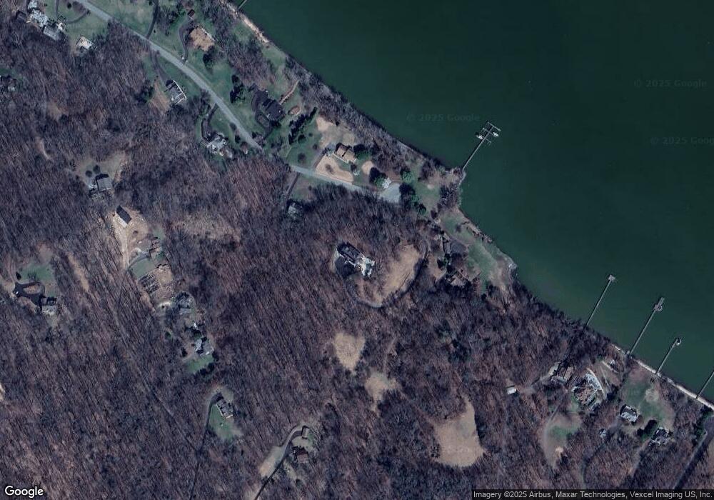
Map
Nearby Homes
- 158 Canterbury Dr
- 121 Marlborough Point Rd
- 78 Canterbury Dr
- 2507 Running Brook Ct
- 53 Brooke Crest Ln
- 0 0 Lot 140 Running Brook Ct
- 2225 Camp Geary Ln
- 65 Brooke Crest Ln
- 70 Sentinel Ridge Ln
- 26 Sentinel Ridge Ln
- 93 Brooke Crest Ln
- 129 Sentinel Ridge Ln
- 00 Running Brook Ct Lot 139
- 25 Poplar View Dr
- 75 Betts Rd
- 53 Betts Rd
- 45 Twin Hill Ln
- 551 Marlborough Point Rd
- 58 Twin Hill Ln
- 2401 Courthouse Rd
- 122 Canterbury Dr
- 165 Canterbury Dr
- 119 Canterbury Dr
- 99 Canterbury Dr
- 26 Cannon Bluff Dr
- 94 Canterbury Dr
- 30 Cannon Bluff Dr
- 34 Cannon Bluff Dr
- 20 Cannon Bluff Dr
- 17 Aztec Dr
- 79 Canterbury Dr
- 36 Pocahontas Ln
- 21 Aztec Dr
- 0 Cannon Bluff Dr
- 2770 Brooke Rd
- 2 Drummers Cove
- 61 Canterbury Dr
- 24 Pocahontas Ln
- 1 Drummers Cove
- 10 Drummers Cove