134 Cornelius Rd Cedartown, GA 30125
Estimated Value: $275,000 - $396,923
3
Beds
2
Baths
2,279
Sq Ft
$150/Sq Ft
Est. Value
About This Home
This home is located at 134 Cornelius Rd, Cedartown, GA 30125 and is currently estimated at $340,974, approximately $149 per square foot. 134 Cornelius Rd is a home located in Polk County with nearby schools including Cedar Christian School.
Ownership History
Date
Name
Owned For
Owner Type
Purchase Details
Closed on
Oct 15, 2012
Sold by
Crawford Carol H
Bought by
Crawford Carol H and Crawford Jimmy L
Current Estimated Value
Purchase Details
Closed on
Apr 8, 1988
Sold by
Johnson Janice S * Nka Janice K Burke
Bought by
Crawford Carol H
Purchase Details
Closed on
Feb 20, 1985
Sold by
Johnson William C
Bought by
Johnson Janice S
Purchase Details
Closed on
Feb 19, 1982
Sold by
Simmons
Bought by
Johnson William C
Purchase Details
Closed on
May 11, 1962
Bought by
Simmons
Create a Home Valuation Report for This Property
The Home Valuation Report is an in-depth analysis detailing your home's value as well as a comparison with similar homes in the area
Home Values in the Area
Average Home Value in this Area
Purchase History
| Date | Buyer | Sale Price | Title Company |
|---|---|---|---|
| Crawford Carol H | $52,500 | -- | |
| Crawford Carol H | $52,500 | -- | |
| Johnson Janice S | -- | -- | |
| Johnson William C | -- | -- | |
| Simmons | -- | -- |
Source: Public Records
Tax History Compared to Growth
Tax History
| Year | Tax Paid | Tax Assessment Tax Assessment Total Assessment is a certain percentage of the fair market value that is determined by local assessors to be the total taxable value of land and additions on the property. | Land | Improvement |
|---|---|---|---|---|
| 2024 | $2,885 | $140,022 | $23,162 | $116,860 |
| 2023 | $2,301 | $98,966 | $23,162 | $75,804 |
| 2022 | $1,874 | $80,975 | $15,442 | $65,533 |
| 2021 | $1,899 | $80,975 | $15,442 | $65,533 |
| 2020 | $1,902 | $80,975 | $15,442 | $65,533 |
| 2019 | $1,946 | $74,478 | $15,442 | $59,036 |
| 2018 | $1,954 | $72,914 | $15,442 | $57,472 |
| 2017 | $1,287 | $49,278 | $15,442 | $33,836 |
| 2016 | $1,333 | $50,972 | $17,136 | $33,836 |
| 2015 | $1,358 | $51,761 | $17,136 | $34,625 |
| 2014 | $1,368 | $51,761 | $17,136 | $34,625 |
Source: Public Records
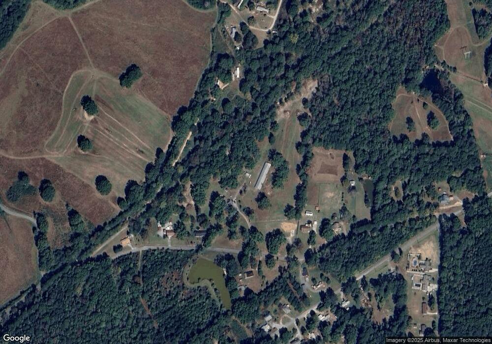
Map
Nearby Homes
- 0 Cornelius Rd Unit 7646589
- 966 Judkin Mill Rd
- 0 Judkin Mill Rd Unit LotWP001 19369404
- 497 Judkin Mill Rd
- 0 Old Esom Hill Loop Unit 7654342
- 0 Old Esom Hill Loop Unit 10611077
- 1810 Piedmont Hwy
- 1806 Piedmont Hwy
- 35 Harris Loop
- 0 Johnson Lake Rd Unit 7575274
- 255 Reynolds Rd
- 00 Buchanan Hwy
- 142 Acres On Judkin Mill Rd
- 1987 Buchanan Hwy
- 0 Wieuca Way Unit 10614129
- 000 Wieuca Way
- 35 Old Mill Rd
- 95 Wieuca Way
- 325 Fairview Ave
- 1106 Frances St
- 116 Cornelius Rd
- 94 Cornelius Rd
- 166 Cornelius Rd
- 70 Cornelius Rd
- 131 Cornelius Rd
- 212 Cedar Oak Way
- 184 Cornelius Rd
- 99 Cornelius Rd
- 2100 Johnson Lake Rd
- 214 Cornelius Rd
- 2118 Johnson Lake Rd
- 2051 Johnson Lake Rd
- 2083 Johnson Lake Rd
- 2027 Johnson Lake Rd
- 2093 Johnson Lake Rd
- 2150 Johnson Lake Rd
- 2107 Johnson Lake Rd
- 0 Cornelius Rd 40 +- Acres Unit 7353168
- 0 Cornelius Rd 40 +- Acres
- 1974 Johnson Lake Rd