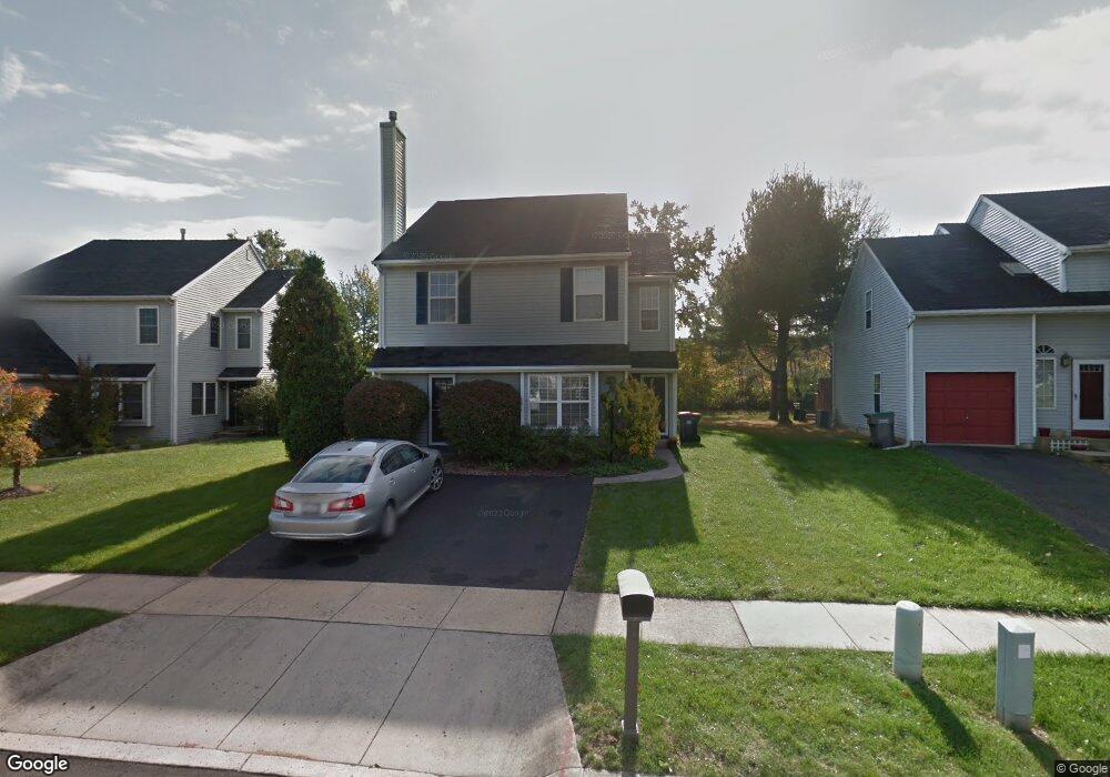
134 Dawn Dr Lansdale, PA 19446
Estimated Value: $494,000 - $520,421
3
Beds
3
Baths
2,050
Sq Ft
$249/Sq Ft
Est. Value
About This Home
This home is located at 134 Dawn Dr, Lansdale, PA 19446 and is currently estimated at $509,605, approximately $248 per square foot. 134 Dawn Dr is a home located in Montgomery County with nearby schools including Inglewood Elementary School, Penndale Middle School, and North Penn Senior High School.
Ownership History
Date
Name
Owned For
Owner Type
Purchase Details
Closed on
Oct 6, 2003
Sold by
Gillespie Rita A
Bought by
Gillespie Eugene J and Gillespie Rita A
Current Estimated Value
Home Financials for this Owner
Home Financials are based on the most recent Mortgage that was taken out on this home.
Original Mortgage
$122,000
Outstanding Balance
$57,790
Interest Rate
6.43%
Estimated Equity
$451,815
Purchase Details
Closed on
Feb 28, 1994
Sold by
Gwynedd Venture Associates Inc
Bought by
Gillespie Rita A
Create a Home Valuation Report for This Property
The Home Valuation Report is an in-depth analysis detailing your home's value as well as a comparison with similar homes in the area
Home Values in the Area
Average Home Value in this Area
Purchase History
| Date | Buyer | Sale Price | Title Company |
|---|---|---|---|
| Gillespie Eugene J | -- | -- | |
| Gillespie Rita A | $152,915 | -- |
Source: Public Records
Mortgage History
| Date | Status | Borrower | Loan Amount |
|---|---|---|---|
| Open | Gillespie Eugene J | $122,000 |
Source: Public Records
Tax History Compared to Growth
Tax History
| Year | Tax Paid | Tax Assessment Tax Assessment Total Assessment is a certain percentage of the fair market value that is determined by local assessors to be the total taxable value of land and additions on the property. | Land | Improvement |
|---|---|---|---|---|
| 2025 | $5,243 | $142,890 | $43,520 | $99,370 |
| 2024 | $5,243 | $142,890 | $43,520 | $99,370 |
| 2023 | $4,997 | $142,890 | $43,520 | $99,370 |
| 2022 | $4,819 | $142,890 | $43,520 | $99,370 |
| 2021 | $4,692 | $142,890 | $43,520 | $99,370 |
| 2020 | $4,570 | $142,890 | $43,520 | $99,370 |
| 2019 | $4,487 | $142,890 | $43,520 | $99,370 |
| 2018 | $4,487 | $142,890 | $43,520 | $99,370 |
| 2017 | $4,298 | $142,890 | $43,520 | $99,370 |
| 2016 | $4,242 | $142,890 | $43,520 | $99,370 |
| 2015 | $4,049 | $142,890 | $43,520 | $99,370 |
| 2014 | $4,049 | $142,890 | $43,520 | $99,370 |
Source: Public Records
Map
Nearby Homes
- 758 Brian Way
- 197 Eric Ln
- 1120 Kingsley Hall Dr
- 160 Church Rd
- 719 N Sumneytown Pike Unit 4
- 10 Wheatley Walk
- 1059 Charter Oaks Dr
- 4 State St
- 818 Green St
- 830 S Broad St
- 38 Hamilton St
- 611 Green St
- 472 Wade Ave
- 380 E Hancock St Unit 100A
- 380 E Hancock St Unit 104A
- 380 E Hancock St Unit 103A
- 380 E Hancock St Unit 101A
- 380 E Hancock St Unit 103B
- 380 E Hancock St Unit 102B
- 380 E Hancock St Unit 101B