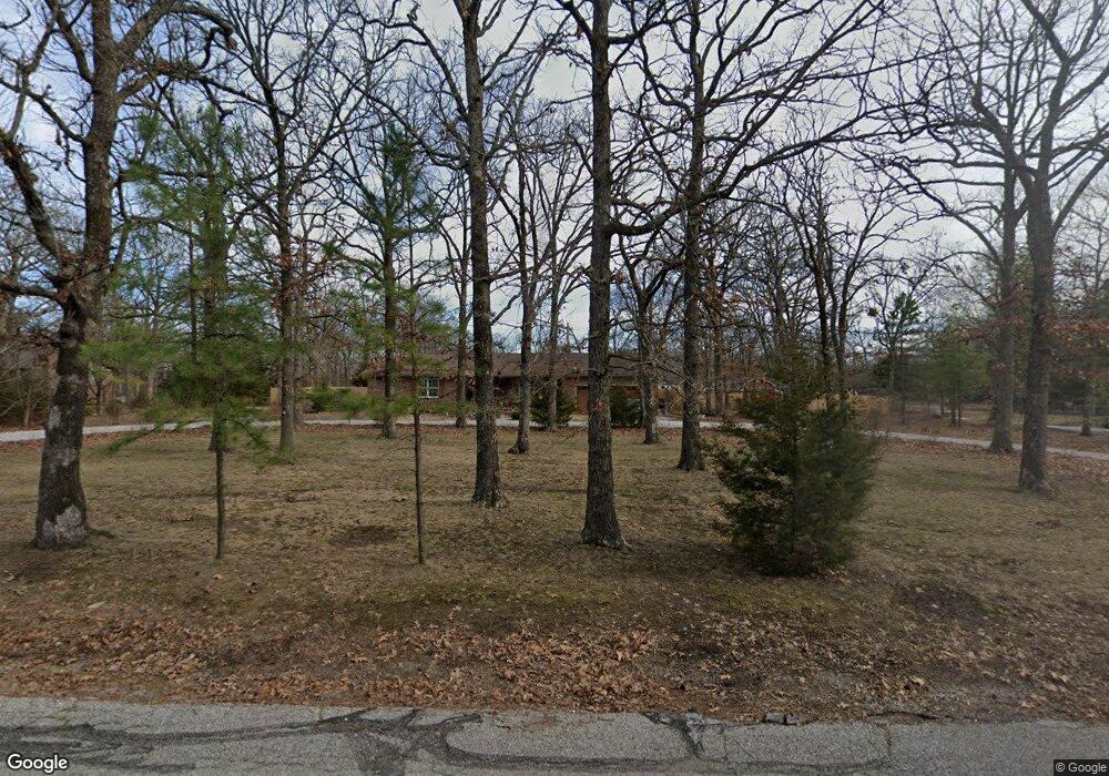
134 Forest Dr Carl Junction, MO 64834
Estimated Value: $313,029 - $347,000
3
Beds
3
Baths
2,250
Sq Ft
$147/Sq Ft
Est. Value
About This Home
This home is located at 134 Forest Dr, Carl Junction, MO 64834 and is currently estimated at $330,507, approximately $146 per square foot. 134 Forest Dr is a home located in Jasper County with nearby schools including Carl Junction Primary School (K-1), Carl Junction Intermediate School, and Carl Junction Primary School (2-3).
Ownership History
Date
Name
Owned For
Owner Type
Purchase Details
Closed on
Dec 29, 2008
Sold by
Pope Walter R and Pope Janis M
Bought by
Hedin Larry J and Hedin Chieko
Current Estimated Value
Home Financials for this Owner
Home Financials are based on the most recent Mortgage that was taken out on this home.
Original Mortgage
$135,000
Outstanding Balance
$88,923
Interest Rate
6.15%
Mortgage Type
Unknown
Estimated Equity
$241,584
Purchase Details
Closed on
Jul 7, 2006
Sold by
Stamps Timothy C and Stamps Julie R
Bought by
Pope Walter R and Pope Janis M
Home Financials for this Owner
Home Financials are based on the most recent Mortgage that was taken out on this home.
Original Mortgage
$144,728
Interest Rate
6.67%
Mortgage Type
FHA
Create a Home Valuation Report for This Property
The Home Valuation Report is an in-depth analysis detailing your home's value as well as a comparison with similar homes in the area
Purchase History
| Date | Buyer | Sale Price | Title Company |
|---|---|---|---|
| Hedin Larry J | -- | Fatco | |
| Pope Walter R | -- | Jct |
Source: Public Records
Mortgage History
| Date | Status | Borrower | Loan Amount |
|---|---|---|---|
| Open | Hedin Larry J | $135,000 | |
| Previous Owner | Pope Walter R | $144,728 |
Source: Public Records
Tax History
| Year | Tax Paid | Tax Assessment Tax Assessment Total Assessment is a certain percentage of the fair market value that is determined by local assessors to be the total taxable value of land and additions on the property. | Land | Improvement |
|---|---|---|---|---|
| 2025 | $2,084 | $39,340 | $10,030 | $29,310 |
| 2024 | $2,097 | $35,620 | $10,030 | $25,590 |
| 2023 | $2,097 | $35,620 | $10,030 | $25,590 |
| 2022 | $1,999 | $33,870 | $10,030 | $23,840 |
| 2021 | $1,715 | $33,870 | $10,030 | $23,840 |
| 2020 | $1,636 | $31,750 | $10,030 | $21,720 |
| 2019 | $1,553 | $31,750 | $10,030 | $21,720 |
| 2018 | $1,459 | $29,900 | $0 | $0 |
| 2017 | $1,463 | $29,900 | $0 | $0 |
| 2016 | $1,470 | $30,330 | $0 | $0 |
Source: Public Records
Map
Nearby Homes
- 123 Rocky Ln
- 121 Forest Dr
- 25122 Gum Rd
- 6548 Mo-171
- 128 Par Ln
- 306 Lakeview Ln
- XXX Lone Elm
- 107 Foursome Ln
- 9130 Missouri 171
- 710 Briarbrook Dr
- 25452 Leffen Ln
- Lot 1B Hwy 171 & Fir Rd
- Lot 1A Hwy 171 & Fir Rd
- 232 Hickory Place
- Lot 1 Hwy 171 & Fir Rd
- LOT 4C Hwy 171 & Fir Rd Unit 4C
- 1953 N Homestead Dr
- 328 Briarbrook Dr
- Xxx Wall St
- 124 Briar Meadow Dr
Your Personal Tour Guide
Ask me questions while you tour the home.