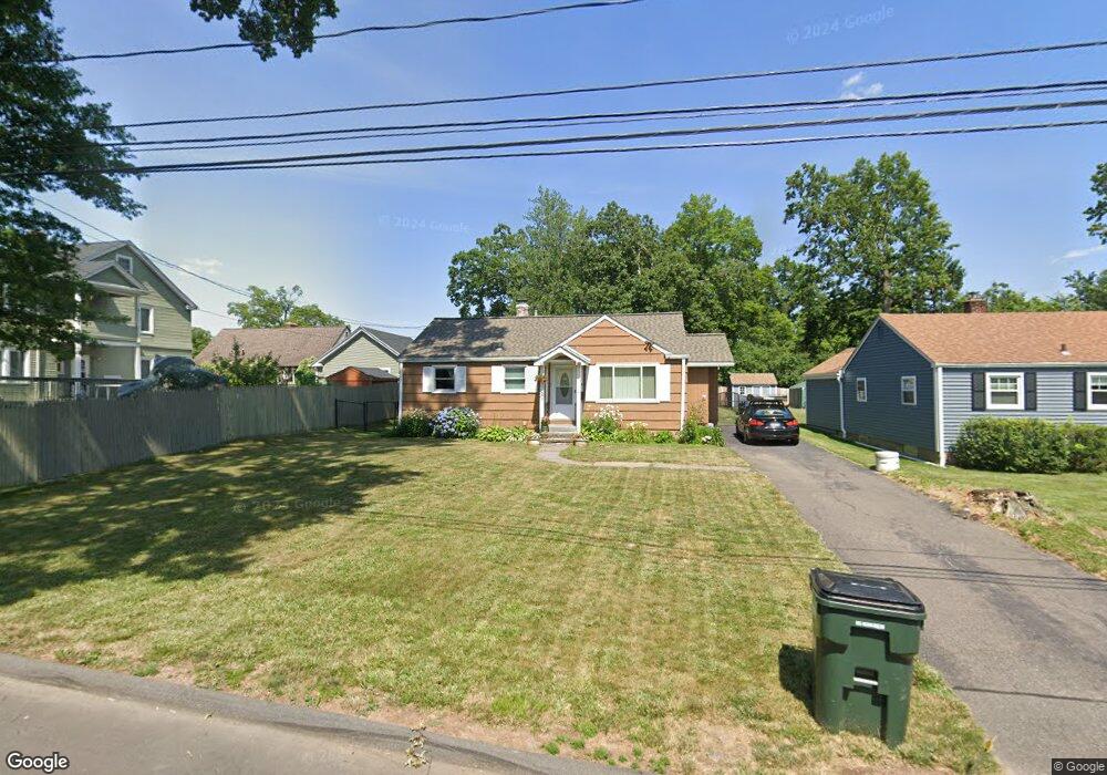
134 Goodwin Park Rd Wethersfield, CT 06109
Estimated Value: $292,000 - $328,742
3
Beds
2
Baths
1,110
Sq Ft
$280/Sq Ft
Est. Value
About This Home
This home is located at 134 Goodwin Park Rd, Wethersfield, CT 06109 and is currently estimated at $310,936, approximately $280 per square foot. 134 Goodwin Park Rd is a home located in Hartford County with nearby schools including Samuel B. Webb Elementary School, Silas Deane Middle School, and Wethersfield High School.
Ownership History
Date
Name
Owned For
Owner Type
Purchase Details
Closed on
Jul 16, 1999
Sold by
Fehrenbach Paul J and Fehrenbach Lynn F
Bought by
Figueron Rachel and Figueron Alba M
Current Estimated Value
Home Financials for this Owner
Home Financials are based on the most recent Mortgage that was taken out on this home.
Original Mortgage
$114,700
Interest Rate
7.39%
Create a Home Valuation Report for This Property
The Home Valuation Report is an in-depth analysis detailing your home's value as well as a comparison with similar homes in the area
Home Values in the Area
Average Home Value in this Area
Purchase History
| Date | Buyer | Sale Price | Title Company |
|---|---|---|---|
| Figueron Rachel | $115,700 | -- |
Source: Public Records
Mortgage History
| Date | Status | Borrower | Loan Amount |
|---|---|---|---|
| Closed | Figueron Rachel | $55,550 | |
| Closed | Figueron Rachel | $113,895 | |
| Closed | Figueron Rachel | $114,700 |
Source: Public Records
Tax History
| Year | Tax Paid | Tax Assessment Tax Assessment Total Assessment is a certain percentage of the fair market value that is determined by local assessors to be the total taxable value of land and additions on the property. | Land | Improvement |
|---|---|---|---|---|
| 2025 | $6,885 | $167,040 | $65,140 | $101,900 |
| 2024 | $5,059 | $117,060 | $58,100 | $58,960 |
| 2023 | $4,882 | $116,840 | $58,100 | $58,740 |
| 2022 | $4,800 | $116,840 | $58,100 | $58,740 |
| 2021 | $4,752 | $116,840 | $58,100 | $58,740 |
| 2020 | $4,754 | $116,840 | $58,100 | $58,740 |
| 2019 | $4,760 | $116,840 | $58,100 | $58,740 |
| 2018 | $5,040 | $123,600 | $57,100 | $66,500 |
| 2017 | $4,916 | $123,600 | $57,100 | $66,500 |
| 2016 | $4,764 | $123,600 | $57,100 | $66,500 |
| 2015 | $4,720 | $123,600 | $57,100 | $66,500 |
| 2014 | $4,541 | $123,600 | $57,100 | $66,500 |
Source: Public Records
Map
Nearby Homes
- 704 Franklin Ave
- 219-221 Jordan Ln
- 166 George St
- 19 Albert Ave
- 1 Bristol St
- 28 Bolton St
- 51 Hanmer St
- 43 Yale St
- 167 Campfield Ave
- 249 Ridge Rd
- 192 Wolcott Hill Rd
- 183-185 Cheshire St
- 1954 Broad St
- 103 Otis St
- 100 Campfield Ave
- 70-72 Otis St
- 295 Ridge Rd Unit 8
- 18 Avalon Place
- 95 Harvard St
- 299 Linnmoore St
- 128 Goodwin Park Rd
- 305 Victoria Rd Unit 307
- 301 Victoria Rd
- 271 Jordan Ln
- 271 Jordan Ln
- 297 Victoria Rd
- 124 Goodwin Park Rd
- 295 Victoria Rd
- 118 Goodwin Park Rd
- 289 Victoria Rd
- 306 Victoria Rd
- 114 Goodwin Park Rd
- 292 Victoria Rd
- 206 Hubbard Rd
- 471 Campfield Ave
- 108 Goodwin Park Rd
- 200 Hubbard Rd
- 281 Victoria Rd
- 467 Campfield Ave
- 196 Hubbard Rd
Your Personal Tour Guide
Ask me questions while you tour the home.