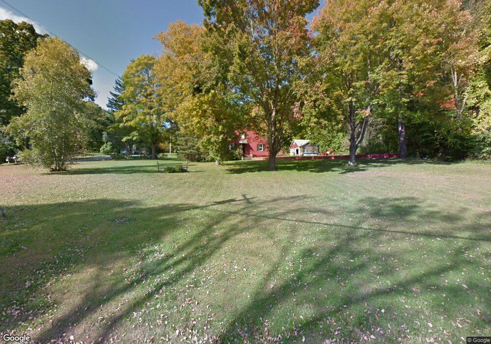
134 Hassig Rd Torrington, CT 06790
Estimated Value: $369,555 - $401,000
3
Beds
2
Baths
2,082
Sq Ft
$186/Sq Ft
Est. Value
About This Home
This home is located at 134 Hassig Rd, Torrington, CT 06790 and is currently estimated at $386,889, approximately $185 per square foot. 134 Hassig Rd is a home located in Litchfield County with nearby schools including Torrington Middle School, Torrington High School, and Brooker Memorial CC & Learning Center.
Ownership History
Date
Name
Owned For
Owner Type
Purchase Details
Closed on
Dec 21, 1998
Sold by
Thrall Alan R and Thrall Kathleen A
Bought by
Ward William J
Current Estimated Value
Create a Home Valuation Report for This Property
The Home Valuation Report is an in-depth analysis detailing your home's value as well as a comparison with similar homes in the area
Home Values in the Area
Average Home Value in this Area
Purchase History
| Date | Buyer | Sale Price | Title Company |
|---|---|---|---|
| Ward William J | $139,000 | -- |
Source: Public Records
Mortgage History
| Date | Status | Borrower | Loan Amount |
|---|---|---|---|
| Open | Ward William J | $59,400 | |
| Open | Ward William J | $176,000 |
Source: Public Records
Tax History Compared to Growth
Tax History
| Year | Tax Paid | Tax Assessment Tax Assessment Total Assessment is a certain percentage of the fair market value that is determined by local assessors to be the total taxable value of land and additions on the property. | Land | Improvement |
|---|---|---|---|---|
| 2025 | $7,738 | $201,250 | $24,710 | $176,540 |
| 2024 | $5,342 | $111,360 | $24,680 | $86,680 |
| 2023 | $5,341 | $111,360 | $24,680 | $86,680 |
| 2022 | $5,250 | $111,360 | $24,680 | $86,680 |
| 2021 | $5,141 | $111,360 | $24,680 | $86,680 |
| 2020 | $5,141 | $111,360 | $24,680 | $86,680 |
| 2019 | $4,850 | $105,050 | $24,680 | $80,370 |
| 2018 | $4,850 | $105,050 | $24,680 | $80,370 |
| 2017 | $4,806 | $105,050 | $24,680 | $80,370 |
| 2016 | $4,806 | $105,050 | $24,680 | $80,370 |
| 2015 | $4,806 | $105,050 | $24,680 | $80,370 |
| 2014 | $5,755 | $158,440 | $57,350 | $101,090 |
Source: Public Records
Map
Nearby Homes
- 206 Martha St
- 68 Hart Dr
- 405 Hunter Dr Unit 405
- 0 Peck Rd
- 971 New Litchfield St
- 154 Hunter Dr Unit 154
- 361 Heights Dr
- 136 Wyoming Ave
- 237 Wyoming Ave
- 271 Heights Dr
- 5 Zappulla Dr
- 130 Oakbrook Ln
- 0 Sally Burr Rd
- 39 Baron Ln
- 168 Blake St
- 244 Hawthorne Terrace
- 75 Maple St
- 152 Funston Ave
- 21 Roosevelt Ave
- 231 Beechwood Ave