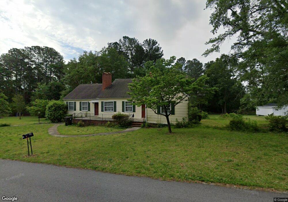
134 Hayes St Toccoa, GA 30577
Estimated Value: $223,000 - $249,000
3
Beds
2
Baths
2,000
Sq Ft
$115/Sq Ft
Est. Value
About This Home
This home is located at 134 Hayes St, Toccoa, GA 30577 and is currently estimated at $230,263, approximately $115 per square foot. 134 Hayes St is a home located in Stephens County with nearby schools including Stephens County High School.
Ownership History
Date
Name
Owned For
Owner Type
Purchase Details
Closed on
May 20, 2021
Sold by
Franklin Dorsey
Bought by
Aktas Hizir
Current Estimated Value
Home Financials for this Owner
Home Financials are based on the most recent Mortgage that was taken out on this home.
Original Mortgage
$124,000
Outstanding Balance
$92,275
Interest Rate
2.9%
Mortgage Type
Commercial
Estimated Equity
$137,988
Purchase Details
Closed on
Apr 27, 2010
Sold by
Stephens Federal Bank
Bought by
Franklin Dorsey
Purchase Details
Closed on
Dec 16, 2009
Sold by
Mclaughlin Timothy B
Bought by
Stephens Federal Bank
Purchase Details
Closed on
Feb 24, 2005
Sold by
Chambers William T
Bought by
Mclaughlin Timothy B and Mclaughlin Karen J
Home Financials for this Owner
Home Financials are based on the most recent Mortgage that was taken out on this home.
Original Mortgage
$87,500
Interest Rate
6.75%
Mortgage Type
New Conventional
Purchase Details
Closed on
Mar 24, 2004
Bought by
<Buyer Info Not Present>
Create a Home Valuation Report for This Property
The Home Valuation Report is an in-depth analysis detailing your home's value as well as a comparison with similar homes in the area
Home Values in the Area
Average Home Value in this Area
Purchase History
| Date | Buyer | Sale Price | Title Company |
|---|---|---|---|
| Aktas Hizir | $155,000 | -- | |
| Franklin Dorsey | $85,000 | -- | |
| Stephens Federal Bank | -- | -- | |
| Mclaughlin Timothy B | $87,500 | -- | |
| <Buyer Info Not Present> | -- | -- |
Source: Public Records
Mortgage History
| Date | Status | Borrower | Loan Amount |
|---|---|---|---|
| Open | Aktas Hizir | $124,000 | |
| Previous Owner | Mclaughlin Timothy B | $87,500 |
Source: Public Records
Tax History Compared to Growth
Tax History
| Year | Tax Paid | Tax Assessment Tax Assessment Total Assessment is a certain percentage of the fair market value that is determined by local assessors to be the total taxable value of land and additions on the property. | Land | Improvement |
|---|---|---|---|---|
| 2025 | $2,325 | $78,296 | $4,914 | $73,382 |
| 2024 | $1,972 | $55,315 | $4,914 | $50,401 |
| 2023 | $1,843 | $52,104 | $4,914 | $47,190 |
| 2022 | $1,490 | $50,066 | $4,914 | $45,152 |
| 2021 | $1,014 | $32,432 | $5,278 | $27,154 |
| 2020 | $1,029 | $32,586 | $5,278 | $27,308 |
| 2019 | $1,053 | $33,205 | $5,298 | $27,907 |
| 2018 | $1,053 | $33,205 | $5,298 | $27,907 |
| 2017 | $1,070 | $33,205 | $5,298 | $27,907 |
| 2016 | $1,053 | $33,204 | $5,297 | $27,906 |
| 2015 | $1,085 | $32,668 | $5,297 | $27,370 |
| 2014 | $1,121 | $33,218 | $5,298 | $27,920 |
| 2013 | -- | $33,217 | $5,297 | $27,920 |
Source: Public Records
Map
Nearby Homes
- 45 Hayes St
- 999 E Doyle St
- 0 Hwy 17 Alt Unit 10577119
- 1222 E Tugalo St
- 43 Pauline St
- 0 Moreland Dr Unit 10565201
- 148 Moreland Dr
- 43 Mountain View Dr
- 171 Quail Forest Cir
- 1168 Rosedale St
- 84 Park St
- 50 Green Hill Place
- 59 Sunset Ln
- 139 Myrtle St
- 35 Green Hill Place
- 84 Oak Creek Cir
- 178 Mitchell St
- 30 Moore Ave
- 0 Hillendale Dr Unit 7660500
- 0 Hillendale Dr Unit 10618602