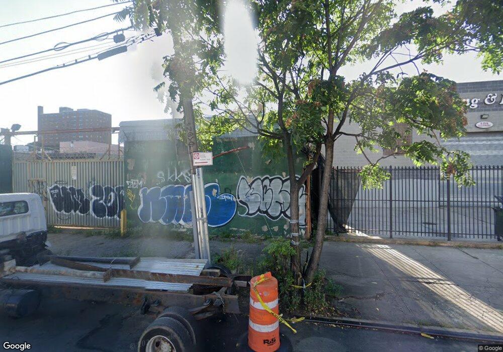
134 Junius St Brooklyn, NY 11212
Brownsville Neighborhood
Studio
--
Bath
2,250
Sq Ft
2,483
Sq Ft Lot
About This Home
This home is located at 134 Junius St, Brooklyn, NY 11212. 134 Junius St is a home located in Kings County with nearby schools including P.S. 150 - Christopher, P.S. Is 155 Nicholas Herkimer, and P.S. 156 Waverly.
Ownership History
Date
Name
Owned For
Owner Type
Purchase Details
Closed on
Dec 30, 2020
Sold by
Gershowitz Sam
Bought by
Bertuccio Joseph and Elliot Gershowitz Trustee
Purchase Details
Closed on
Jun 12, 2002
Sold by
C Realty Llc
Bought by
Gershow Recycling Of Brooklyn Inc
Home Financials for this Owner
Home Financials are based on the most recent Mortgage that was taken out on this home.
Original Mortgage
$203,832
Interest Rate
6.92%
Mortgage Type
Commercial
Purchase Details
Closed on
Feb 14, 2001
Sold by
Safeway Demolition and Safeway Car
Bought by
C Realty Llc
Purchase Details
Closed on
Feb 12, 2001
Sold by
Lieberman Koren Corp
Bought by
Safeway Demolition & Carting Inc
Create a Home Valuation Report for This Property
The Home Valuation Report is an in-depth analysis detailing your home's value as well as a comparison with similar homes in the area
Home Values in the Area
Average Home Value in this Area
Purchase History
| Date | Buyer | Sale Price | Title Company |
|---|---|---|---|
| Bertuccio Joseph | -- | -- | |
| Bertuccio Joseph | -- | -- | |
| Bertuccio Joseph | -- | -- | |
| Gershow Recycling Of Brooklyn Inc | $350,000 | -- | |
| Gershow Recycling Of Brooklyn Inc | $350,000 | -- | |
| C Realty Llc | -- | -- | |
| C Realty Llc | -- | -- | |
| Safeway Demolition & Carting Inc | $210,000 | Regal Title Agency | |
| Safeway Demolition & Carting Inc | $210,000 | Regal Title Agency |
Source: Public Records
Mortgage History
| Date | Status | Borrower | Loan Amount |
|---|---|---|---|
| Previous Owner | Gershow Recycling Of Brooklyn Inc | $203,832 |
Source: Public Records
Tax History
| Year | Tax Paid | Tax Assessment Tax Assessment Total Assessment is a certain percentage of the fair market value that is determined by local assessors to be the total taxable value of land and additions on the property. | Land | Improvement |
|---|---|---|---|---|
| 2025 | $10,896 | $104,850 | $28,350 | $76,500 |
| 2024 | $10,896 | $103,500 | $28,350 | $75,150 |
| 2023 | $10,587 | $99,450 | $28,350 | $71,100 |
| 2022 | $10,357 | $96,300 | $28,350 | $67,950 |
| 2021 | $10,106 | $94,500 | $28,350 | $66,150 |
| 2020 | $5,938 | $120,600 | $28,350 | $92,250 |
| 2019 | $10,627 | $120,150 | $28,350 | $91,800 |
| 2018 | $9,606 | $109,800 | $28,350 | $81,450 |
| 2017 | $8,687 | $107,100 | $28,350 | $78,750 |
| 2016 | $7,708 | $89,550 | $28,350 | $61,200 |
| 2015 | $2,859 | $78,750 | $28,350 | $50,400 |
| 2014 | $2,859 | $71,550 | $28,350 | $43,200 |
Source: Public Records
Map
Nearby Homes
- 1782 Pitkin Ave
- 105 Belmont Ave
- 45 Hinsdale St
- 472 Sutter Ave
- 2358 Pacific St
- 2370 Atlantic Ave
- 2347 Pacific St
- 90 Sackman St
- 440 Blake Ave
- 1777 Eastern Pkwy
- 2349 Dean St
- 2337 Dean St
- 2294 Atlantic Ave
- 51 Chester St
- 67 Chester St Unit 3
- 27 Monaco Place
- 2284 Atlantic Ave
- 2226 Pacific St
- 225 Rockaway Ave
- 2271A Pacific St