134 Lakeside Ave Webster, MA 01570
Estimated Value: $381,000 - $516,000
3
Beds
3
Baths
1,335
Sq Ft
$327/Sq Ft
Est. Value
About This Home
This home is located at 134 Lakeside Ave, Webster, MA 01570 and is currently estimated at $436,967, approximately $327 per square foot. 134 Lakeside Ave is a home located in Worcester County with nearby schools including Park Avenue Elementary School, Webster Middle School, and Bartlett High School.
Ownership History
Date
Name
Owned For
Owner Type
Purchase Details
Closed on
Jun 14, 2010
Sold by
Deutsche Bank Natl T C and One West Bk
Bought by
Lafountain Kathlene
Current Estimated Value
Home Financials for this Owner
Home Financials are based on the most recent Mortgage that was taken out on this home.
Original Mortgage
$148,006
Outstanding Balance
$101,120
Interest Rate
5.37%
Mortgage Type
FHA
Estimated Equity
$335,847
Purchase Details
Closed on
Apr 2, 2010
Sold by
Silver Brian P and One West Bk
Bought by
Deutsche Bank Natl T C
Purchase Details
Closed on
Feb 28, 2002
Sold by
Dallair Russell and Dallair Ann
Bought by
Silver Brian P and Silver Deborah J
Home Financials for this Owner
Home Financials are based on the most recent Mortgage that was taken out on this home.
Original Mortgage
$151,650
Interest Rate
6.85%
Mortgage Type
Purchase Money Mortgage
Purchase Details
Closed on
Nov 17, 1998
Sold by
Lemire Paul W and Lemire Brenda L
Bought by
Dallair Russell E and Dallair Ann Marie
Create a Home Valuation Report for This Property
The Home Valuation Report is an in-depth analysis detailing your home's value as well as a comparison with similar homes in the area
Home Values in the Area
Average Home Value in this Area
Purchase History
| Date | Buyer | Sale Price | Title Company |
|---|---|---|---|
| Lafountain Kathlene | $150,000 | -- | |
| Lafountain Kathlene | $150,000 | -- | |
| Deutsche Bank Natl T C | $152,000 | -- | |
| Deutsche Bank Natl T C | $152,000 | -- | |
| Silver Brian P | $152,900 | -- | |
| Silver Brian P | $152,900 | -- | |
| Dallair Russell E | $115,700 | -- | |
| Dallair Russell E | $115,700 | -- |
Source: Public Records
Mortgage History
| Date | Status | Borrower | Loan Amount |
|---|---|---|---|
| Open | Lafountain Kathlene | $148,006 | |
| Closed | Dallair Russell E | $148,006 | |
| Previous Owner | Dallair Russell E | $151,650 |
Source: Public Records
Tax History Compared to Growth
Tax History
| Year | Tax Paid | Tax Assessment Tax Assessment Total Assessment is a certain percentage of the fair market value that is determined by local assessors to be the total taxable value of land and additions on the property. | Land | Improvement |
|---|---|---|---|---|
| 2025 | $3,689 | $310,500 | $58,800 | $251,700 |
| 2024 | $3,676 | $301,800 | $56,500 | $245,300 |
| 2023 | $3,404 | $272,300 | $53,800 | $218,500 |
| 2022 | $3,335 | $238,900 | $52,300 | $186,600 |
| 2021 | $3,348 | $221,700 | $52,300 | $169,400 |
| 2020 | $3,256 | $216,200 | $52,300 | $163,900 |
| 2019 | $2,991 | $195,100 | $52,300 | $142,800 |
| 2018 | $2,775 | $180,300 | $47,700 | $132,600 |
| 2017 | $2,637 | $174,300 | $46,700 | $127,600 |
| 2016 | $2,542 | $167,900 | $44,500 | $123,400 |
| 2015 | $2,353 | $160,300 | $43,600 | $116,700 |
Source: Public Records
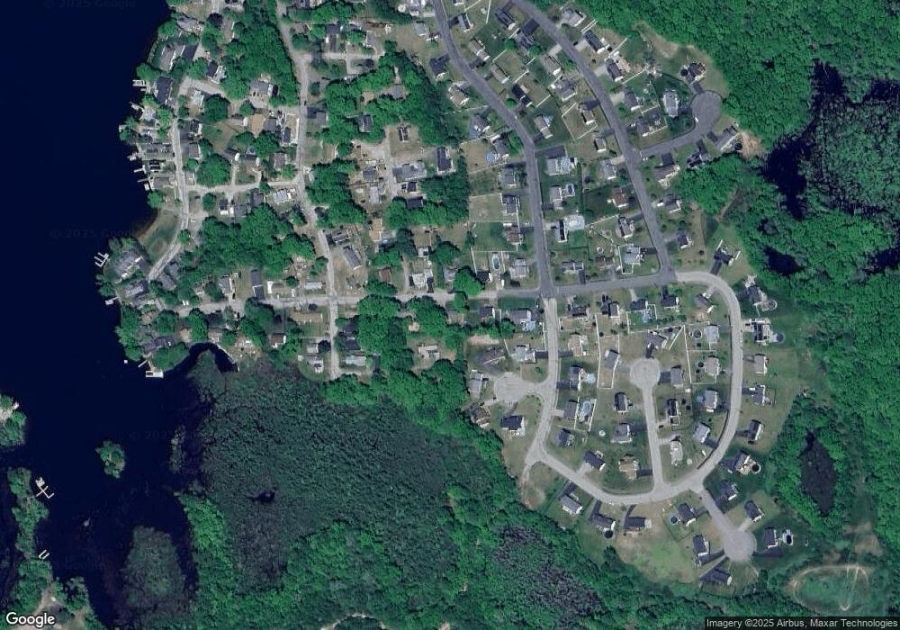
Map
Nearby Homes
- 42 Colonial Rd
- 14 Colonial Rd
- 24 Cooper Rd
- 26 Wakefield Ave
- 198 Lower Gore Rd
- 39 Scenic Ave
- 1 Ernest St
- 15 Oakwood Dr
- 6 Henry Rd
- 16 Hilltop Dr
- 114 Upper Gore Rd
- 215 Sand Dam Rd
- 51 Becola Rd
- 0 Sunnyside Dr
- 57 Upper Gore Rd
- 45 Point Pleasant Rd
- 2 Upper Gore Rd
- 17 Liberty Ln
- 194 Killdeer Rd
- 227 Gore Rd