134 Liberty Dr Unit 134 Bensalem, PA 19020
Estimated Value: $399,000 - $435,000
2
Beds
2
Baths
1,265
Sq Ft
$326/Sq Ft
Est. Value
About This Home
This home is located at 134 Liberty Dr Unit 134, Bensalem, PA 19020 and is currently estimated at $412,325, approximately $325 per square foot. 134 Liberty Dr Unit 134 is a home located in Bucks County with nearby schools including Valley Elementary School, St. Ephrem School, and Bensalem Baptist School.
Ownership History
Date
Name
Owned For
Owner Type
Purchase Details
Closed on
Apr 2, 2009
Sold by
Ramsay Diane and Smith Diane
Bought by
Ramsay William and Ramsay Diane
Current Estimated Value
Home Financials for this Owner
Home Financials are based on the most recent Mortgage that was taken out on this home.
Original Mortgage
$148,000
Outstanding Balance
$93,359
Interest Rate
4.9%
Mortgage Type
New Conventional
Estimated Equity
$318,966
Purchase Details
Closed on
Apr 27, 2005
Sold by
The Villas At Regents Glen Lp
Bought by
Smith Diane
Home Financials for this Owner
Home Financials are based on the most recent Mortgage that was taken out on this home.
Original Mortgage
$134,000
Interest Rate
4.62%
Mortgage Type
Fannie Mae Freddie Mac
Create a Home Valuation Report for This Property
The Home Valuation Report is an in-depth analysis detailing your home's value as well as a comparison with similar homes in the area
Home Values in the Area
Average Home Value in this Area
Purchase History
| Date | Buyer | Sale Price | Title Company |
|---|---|---|---|
| Ramsay William | -- | None Available | |
| Smith Diane | $222,165 | -- |
Source: Public Records
Mortgage History
| Date | Status | Borrower | Loan Amount |
|---|---|---|---|
| Open | Ramsay William | $148,000 | |
| Closed | Smith Diane | $134,000 |
Source: Public Records
Tax History Compared to Growth
Tax History
| Year | Tax Paid | Tax Assessment Tax Assessment Total Assessment is a certain percentage of the fair market value that is determined by local assessors to be the total taxable value of land and additions on the property. | Land | Improvement |
|---|---|---|---|---|
| 2025 | $5,438 | $24,910 | $3,220 | $21,690 |
| 2024 | $5,438 | $24,910 | $3,220 | $21,690 |
| 2023 | $5,284 | $24,910 | $3,220 | $21,690 |
| 2022 | $5,254 | $24,910 | $3,220 | $21,690 |
| 2021 | $5,254 | $24,910 | $3,220 | $21,690 |
| 2020 | $5,201 | $24,910 | $3,220 | $21,690 |
| 2019 | $5,085 | $24,910 | $3,220 | $21,690 |
| 2018 | $4,967 | $24,910 | $3,220 | $21,690 |
| 2017 | $4,936 | $24,910 | $3,220 | $21,690 |
| 2016 | $4,936 | $24,910 | $3,220 | $21,690 |
| 2015 | -- | $24,910 | $3,220 | $21,690 |
| 2014 | -- | $24,910 | $3,220 | $21,690 |
Source: Public Records
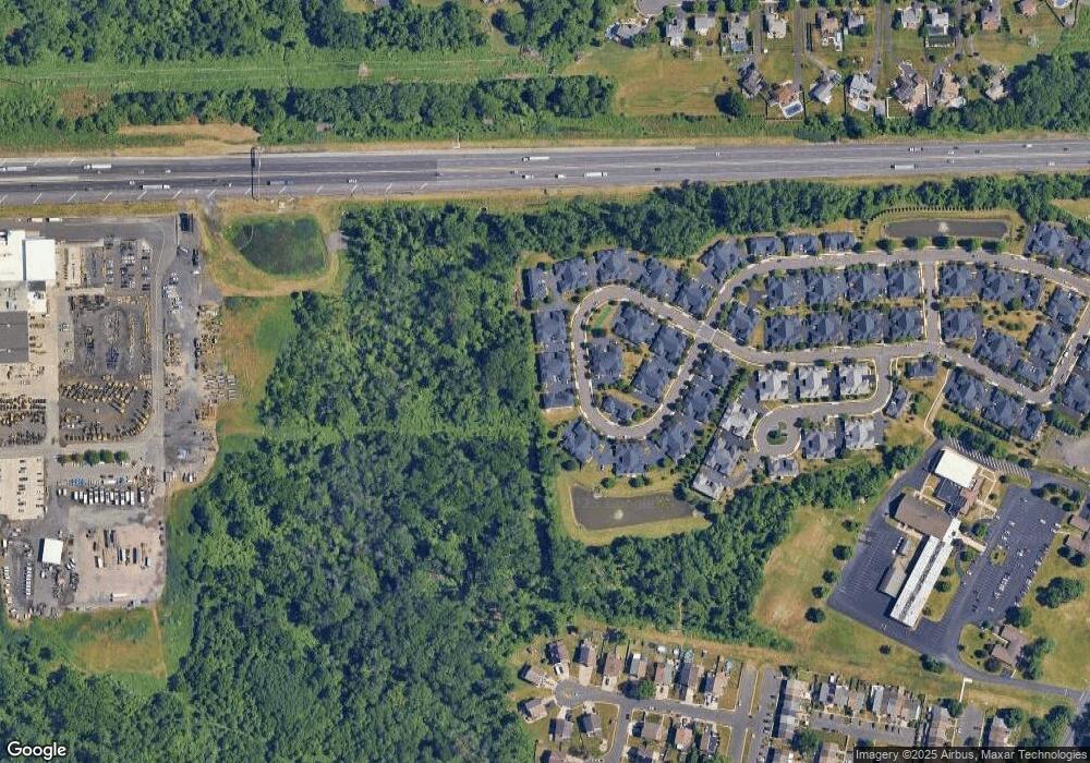
Map
Nearby Homes
- 120 Liberty Dr Unit 120
- 66 Freedom Ln Unit 66
- 5111 Euston Ct
- 5057 Sayer Ct
- 223 Saddlebrook Dr
- 225 Saddlebrook Dr
- 2493 Barnsleigh Dr
- 4122 Mechanicsville Rd
- 4525 Winding Brook Dr Unit 4525
- 1852 Gibson Rd Unit 58
- 1790 Gibson Rd Unit 69
- Lot 4 Edward Ct
- 4912 Oxford Ct Unit 2
- Lot 3 Edward Ct
- 4902 Oxford Ct
- Lot 5 Edward Ct
- Lot 2 Edward Ct
- LOT 1 Edward Ct
- 4828 Oxford Ct
- 3755 Mechanicsville Rd
- 131 Liberty Dr Unit 131
- 135 Liberty Dr Unit 135
- 133 Liberty Dr Unit 133
- 132 Liberty Dr Unit 132
- 136 Liberty Dr Unit 136
- 130 Liberty Dr Unit 130
- 129 Liberty Dr Unit 129
- 167 Liberty Dr Unit 167
- 137 Liberty Dr
- 137 Liberty Dr Unit 137
- 170 Liberty Dr Unit 170
- 127 Liberty Dr Unit 127
- 128 Liberty Dr Unit 128
- 138 Liberty Dr Unit 138
- 166 Liberty Dr Unit 166
- 168 Liberty Dr Unit 168
- 169 Liberty Dr Unit 169
- 140 Liberty Dr Unit 140
- 126 Liberty Dr Unit 126
- 165 Liberty Dr Unit 165