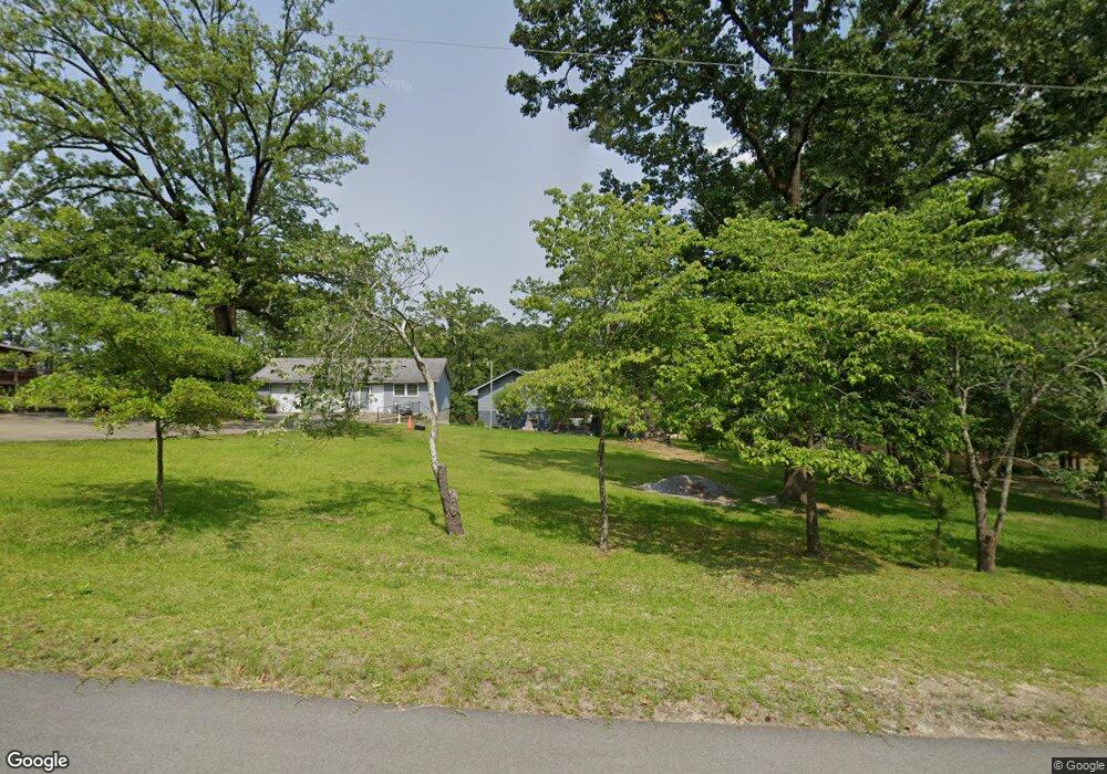
134 Lillian St Gilbert, SC 29054
Estimated Value: $321,000 - $552,000
2
Beds
1
Bath
1,050
Sq Ft
$393/Sq Ft
Est. Value
About This Home
This home is located at 134 Lillian St, Gilbert, SC 29054 and is currently estimated at $413,028, approximately $393 per square foot. 134 Lillian St is a home with nearby schools including Centerville Elementary School, Gilbert Primary School, and Gilbert Middle School.
Ownership History
Date
Name
Owned For
Owner Type
Purchase Details
Closed on
Jul 13, 2018
Sold by
Segars Royce I
Bought by
Deberardo Aura Lucina Mesa
Current Estimated Value
Home Financials for this Owner
Home Financials are based on the most recent Mortgage that was taken out on this home.
Original Mortgage
$142,000
Outstanding Balance
$123,064
Interest Rate
4.5%
Mortgage Type
Purchase Money Mortgage
Estimated Equity
$289,964
Purchase Details
Closed on
Feb 15, 2005
Sold by
Segars Royce I
Bought by
Segars Royce I
Create a Home Valuation Report for This Property
The Home Valuation Report is an in-depth analysis detailing your home's value as well as a comparison with similar homes in the area
Home Values in the Area
Average Home Value in this Area
Purchase History
| Date | Buyer | Sale Price | Title Company |
|---|---|---|---|
| Deberardo Aura Lucina Mesa | $200,000 | None Available | |
| Segars Royce I | -- | -- |
Source: Public Records
Mortgage History
| Date | Status | Borrower | Loan Amount |
|---|---|---|---|
| Open | Deberardo Aura Lucina Mesa | $142,000 |
Source: Public Records
Tax History Compared to Growth
Tax History
| Year | Tax Paid | Tax Assessment Tax Assessment Total Assessment is a certain percentage of the fair market value that is determined by local assessors to be the total taxable value of land and additions on the property. | Land | Improvement |
|---|---|---|---|---|
| 2024 | $1,496 | $10,022 | $6,600 | $3,422 |
| 2023 | $1,496 | $10,022 | $6,600 | $3,422 |
| 2022 | $1,492 | $10,022 | $6,600 | $3,422 |
| 2020 | $7,929 | $15,033 | $9,900 | $5,133 |
| 2019 | $7,702 | $15,082 | $11,760 | $3,322 |
| 2018 | $1,535 | $10,055 | $7,840 | $2,215 |
| 2017 | $1,489 | $10,055 | $7,840 | $2,215 |
| 2016 | $1,476 | $10,054 | $7,840 | $2,214 |
| 2014 | $1,330 | $9,482 | $6,775 | $2,707 |
| 2013 | -- | $9,480 | $6,780 | $2,700 |
Source: Public Records
Map
Nearby Homes
- 2003 Shull Ave
- 1464 Bombing Range Rd
- 2110 Shull Ave
- 1459 & 1457 Bombing Range Rd
- 1223 Shull Island Rd
- 1305 Rock Island Rd
- 113 Shull Fork Ct
- 1148 Shull Island Rd
- 318 Lands End Dr
- 150 Lake Vista Dr
- 218 Lake Vista Dr
- 102 Royal Ct
- 115 Pointe Overlook Dr
- 132 Magnolia Key Dr
- 249 Pointe Overlook Dr
- 233 Pointe Overlook Dr
- 404 Jasmine Key Ln
- 221 Timberlake Dr
- 453 Lake Estate Dr
- 506 Timberlake Dr
- 138 Lillian St
- 0 Lillian St Unit 225573
- 144 Lillian St
- 112 Lillian St
- 1811 Shull Ave
- 1803 Shull Ave
- 1829 Shull Ave
- 146 Lillian St
- 1901 Shull Ave
- 150 Lillian St
- 152 Lillian St
- 1820 Shull Ave
- 1808 Shull Ave
- 164 Lillian St
- 156 Lillian St
- 1902 Amick Dr
- 1721 Amanda Dr
- 1927 Williams Dr
- 1915 Shull Ave
- 168 Lillian St