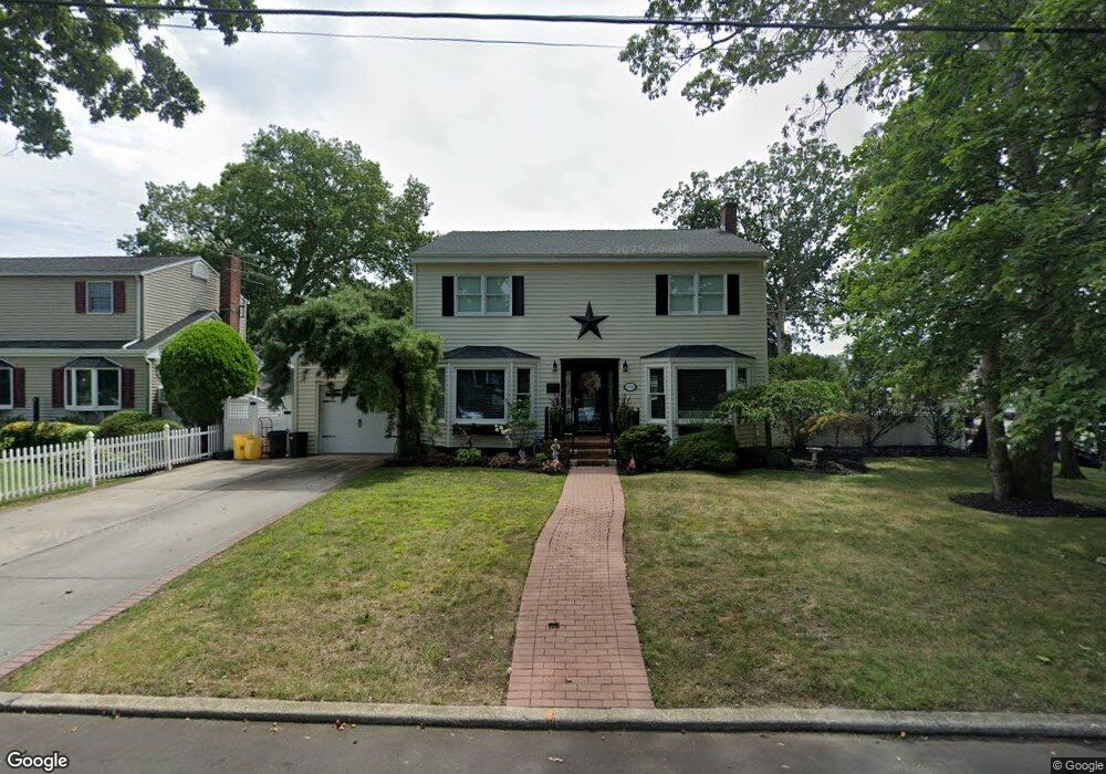
134 Massachusetts Ave Massapequa, NY 11758
Estimated Value: $893,217 - $1,220,000
--
Bed
3
Baths
2,428
Sq Ft
$435/Sq Ft
Est. Value
About This Home
This home is located at 134 Massachusetts Ave, Massapequa, NY 11758 and is currently estimated at $1,056,609, approximately $435 per square foot. 134 Massachusetts Ave is a home located in Nassau County with nearby schools including Massapequa High School - Ames Campus, Berner Middle School, and Massapequa High School.
Ownership History
Date
Name
Owned For
Owner Type
Purchase Details
Closed on
Nov 17, 2010
Sold by
Creagh John and Creagh Carol
Bought by
Cardona Jethro and Cardona Julie
Current Estimated Value
Home Financials for this Owner
Home Financials are based on the most recent Mortgage that was taken out on this home.
Original Mortgage
$120,000
Outstanding Balance
$41,223
Interest Rate
4.22%
Mortgage Type
Purchase Money Mortgage
Estimated Equity
$1,015,386
Purchase Details
Closed on
Jul 23, 2004
Sold by
Petrides Bill
Bought by
Creagh John
Create a Home Valuation Report for This Property
The Home Valuation Report is an in-depth analysis detailing your home's value as well as a comparison with similar homes in the area
Home Values in the Area
Average Home Value in this Area
Purchase History
| Date | Buyer | Sale Price | Title Company |
|---|---|---|---|
| Cardona Jethro | $589,000 | -- | |
| Creagh John | $475,000 | -- |
Source: Public Records
Mortgage History
| Date | Status | Borrower | Loan Amount |
|---|---|---|---|
| Open | Cardona Jethro | $120,000 |
Source: Public Records
Tax History Compared to Growth
Tax History
| Year | Tax Paid | Tax Assessment Tax Assessment Total Assessment is a certain percentage of the fair market value that is determined by local assessors to be the total taxable value of land and additions on the property. | Land | Improvement |
|---|---|---|---|---|
| 2025 | $16,098 | $565 | $195 | $370 |
| 2024 | $4,699 | $564 | $195 | $369 |
| 2023 | $15,627 | $610 | $211 | $399 |
| 2022 | $15,627 | $636 | $220 | $416 |
| 2021 | $15,769 | $631 | $209 | $422 |
| 2020 | $15,416 | $867 | $662 | $205 |
| 2019 | $15,355 | $887 | $677 | $210 |
| 2018 | $14,602 | $887 | $0 | $0 |
| 2017 | $9,141 | $942 | $514 | $428 |
| 2016 | $13,723 | $997 | $544 | $453 |
| 2015 | $5,414 | $1,240 | $652 | $588 |
| 2014 | $5,414 | $1,240 | $652 | $588 |
| 2013 | $4,924 | $1,240 | $677 | $563 |
Source: Public Records
Map
Nearby Homes
- 128 Massachusetts Ave
- 163 Massachusetts Ave
- 102 Boston Ave
- 121 Ontario Ave
- 86 Cleveland Ave
- 136 Euclid Ave
- 73 Massachusetts Ave
- 70 Pittsburgh Ave
- 101 Toronto Ave
- 73 Chicago Ave
- 116 Parkhill Ave
- 104 Clark Ave
- 76 Hamilton Ave
- 20 Boston Ave
- 254 N Richmond Ave
- 203 N Manhattan Ave
- 11 Pittsburgh Ave
- 51 Michigan Ave
- 22 Commonwealth Ave
- 262 New Hampshire Ave
- 136 Massachusetts Ave
- 133 Boston Ave
- 135 Boston Ave
- 639 Franklin Ave
- 138 Massachusetts Ave
- 137 Boston Ave
- 646 Franklin Ave
- 635 Franklin Ave
- 137 Massachusetts Ave
- 139 Boston Ave
- 130 Massachusetts Ave
- 140 Massachusetts Ave
- 645 Franklin Ave
- 139 Massachusetts Ave
- 131 Boston Ave
- 139 May Place
- 634 Franklin Ave
- 141 Boston Ave
- 144 Massachusetts Ave
- 136 Commonwealth Ave