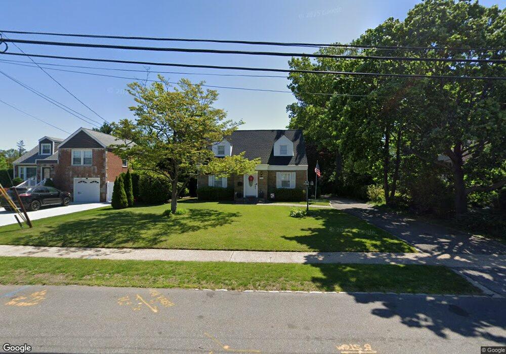
134 Mayfair Ave West Hempstead, NY 11552
Estimated Value: $783,000 - $836,421
2
Beds
3
Baths
1,503
Sq Ft
$539/Sq Ft
Est. Value
About This Home
This home is located at 134 Mayfair Ave, West Hempstead, NY 11552 and is currently estimated at $809,711, approximately $538 per square foot. 134 Mayfair Ave is a home located in Nassau County with nearby schools including Chestnut Street School, West Hempstead Secondary School, and Crescent School.
Ownership History
Date
Name
Owned For
Owner Type
Purchase Details
Closed on
Jun 6, 2019
Sold by
Levenson Keith
Bought by
Flliberti Louis and Flliberti Mirjana
Current Estimated Value
Purchase Details
Closed on
Nov 2, 2017
Sold by
Wright Kathleen
Bought by
Levenson Keith
Purchase Details
Closed on
Mar 30, 2006
Sold by
Flore Kenneth
Bought by
Sahin Soner
Create a Home Valuation Report for This Property
The Home Valuation Report is an in-depth analysis detailing your home's value as well as a comparison with similar homes in the area
Home Values in the Area
Average Home Value in this Area
Purchase History
| Date | Buyer | Sale Price | Title Company |
|---|---|---|---|
| Flliberti Louis | $560,000 | None Available | |
| Flliberti Louis | $560,000 | None Available | |
| Flliberti Louis | $560,000 | None Available | |
| Levenson Keith | $320,000 | Stewart Title | |
| Levenson Keith | $320,000 | Stewart Title | |
| Levenson Keith | $320,000 | Stewart Title | |
| Sahin Soner | $539,000 | -- | |
| Sahin Soner | $539,000 | -- |
Source: Public Records
Tax History Compared to Growth
Tax History
| Year | Tax Paid | Tax Assessment Tax Assessment Total Assessment is a certain percentage of the fair market value that is determined by local assessors to be the total taxable value of land and additions on the property. | Land | Improvement |
|---|---|---|---|---|
| 2025 | $15,508 | $544 | $417 | $127 |
| 2024 | $5,212 | $570 | $437 | $133 |
| 2023 | $16,047 | $595 | $456 | $139 |
| 2022 | $16,047 | $595 | $456 | $139 |
| 2021 | $21,682 | $568 | $435 | $133 |
| 2020 | $15,935 | $867 | $599 | $268 |
| 2019 | $6,351 | $1,128 | $779 | $349 |
| 2018 | $13,156 | $1,128 | $0 | $0 |
| 2017 | $11,881 | $1,128 | $779 | $349 |
| 2016 | $18,087 | $1,128 | $779 | $349 |
| 2015 | $5,705 | $1,128 | $779 | $349 |
| 2014 | $5,705 | $1,128 | $779 | $349 |
| 2013 | $5,071 | $1,128 | $779 | $349 |
Source: Public Records
Map
Nearby Homes
- 128 Mayfair Ave
- 144 Mayfair Ave
- 181 Groton Place
- 152 Mayfair Ave
- 122 Mayfair Ave
- 175 Groton Place
- 187 Groton Place
- 174 Trinity Place
- 174 Trinity Place
- 171 Groton Place
- 118 Mayfair Ave
- 193 Groton Place
- 170 Trinity Place
- 133 Mayfair Ave
- 165 Groton Place
- 210 Grand Ave
- 170 Groton Place
- 121 Mayfair Ave
- 166 Trinity Place
- 145 Mayfair Ave