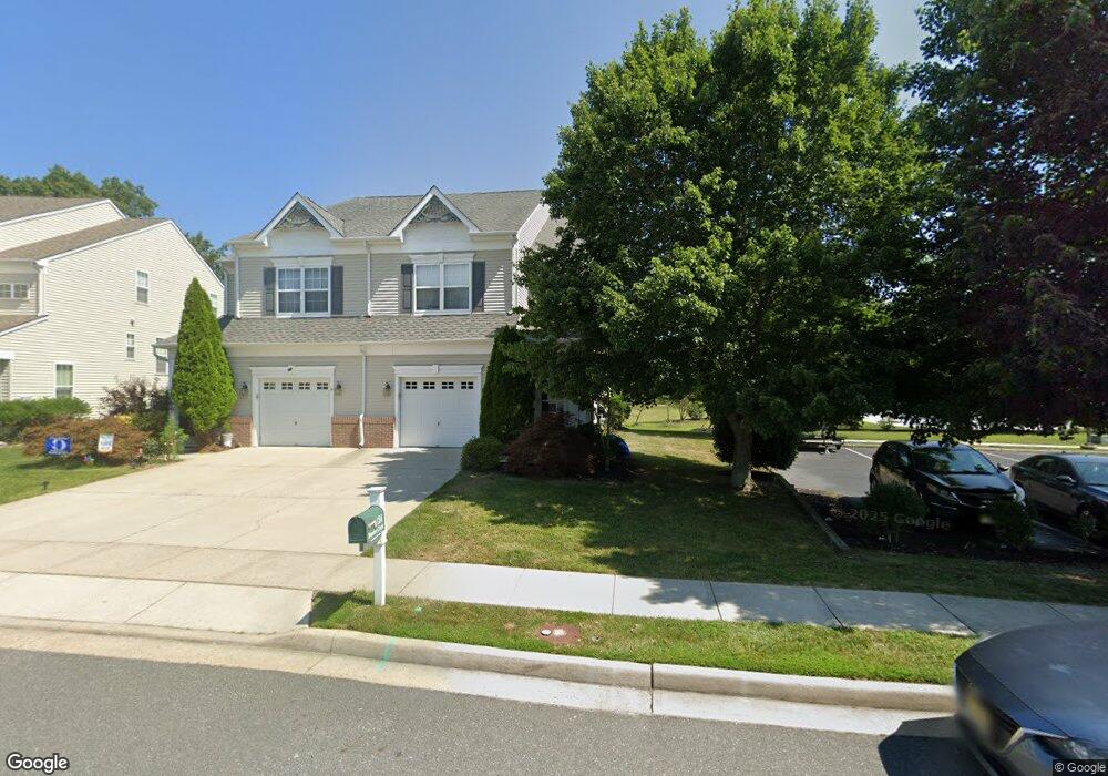
134 Meadow Cir Mays Landing, NJ 08330
Estimated Value: $353,588 - $399,000
--
Bed
--
Bath
1,777
Sq Ft
$216/Sq Ft
Est. Value
About This Home
This home is located at 134 Meadow Cir, Mays Landing, NJ 08330 and is currently estimated at $383,897, approximately $216 per square foot. 134 Meadow Cir is a home located in Atlantic County with nearby schools including George L. Hess Educational Complex, Joseph Shaner School, and William Davies Middle School.
Ownership History
Date
Name
Owned For
Owner Type
Purchase Details
Closed on
Mar 2, 2020
Sold by
Volpe Dennis J and Volpe Jo Ann
Bought by
Mcfetridge Jeffrey G
Current Estimated Value
Home Financials for this Owner
Home Financials are based on the most recent Mortgage that was taken out on this home.
Original Mortgage
$172,000
Outstanding Balance
$152,040
Interest Rate
3.4%
Mortgage Type
New Conventional
Estimated Equity
$231,857
Purchase Details
Closed on
Oct 29, 2008
Sold by
Baker Residential Of Pennsylvania Llc
Bought by
Volpe Dennis J and Volpe Jo Ann
Home Financials for this Owner
Home Financials are based on the most recent Mortgage that was taken out on this home.
Original Mortgage
$259,650
Interest Rate
6.08%
Mortgage Type
Purchase Money Mortgage
Create a Home Valuation Report for This Property
The Home Valuation Report is an in-depth analysis detailing your home's value as well as a comparison with similar homes in the area
Home Values in the Area
Average Home Value in this Area
Purchase History
| Date | Buyer | Sale Price | Title Company |
|---|---|---|---|
| Mcfetridge Jeffrey G | $215,000 | Surety Title Company Llc | |
| Volpe Dennis J | $273,316 | Commonwealth Land Title Insu |
Source: Public Records
Mortgage History
| Date | Status | Borrower | Loan Amount |
|---|---|---|---|
| Open | Mcfetridge Jeffrey G | $172,000 | |
| Previous Owner | Volpe Dennis J | $259,650 |
Source: Public Records
Tax History Compared to Growth
Tax History
| Year | Tax Paid | Tax Assessment Tax Assessment Total Assessment is a certain percentage of the fair market value that is determined by local assessors to be the total taxable value of land and additions on the property. | Land | Improvement |
|---|---|---|---|---|
| 2025 | $6,203 | $180,800 | $41,600 | $139,200 |
| 2024 | $6,203 | $180,800 | $41,600 | $139,200 |
| 2023 | $5,833 | $180,800 | $41,600 | $139,200 |
| 2022 | $5,833 | $180,800 | $41,600 | $139,200 |
| 2021 | $5,820 | $180,800 | $41,600 | $139,200 |
| 2020 | $5,570 | $180,800 | $41,600 | $139,200 |
| 2019 | $5,584 | $180,800 | $41,600 | $139,200 |
| 2018 | $5,380 | $180,800 | $41,600 | $139,200 |
| 2017 | $5,292 | $180,800 | $41,600 | $139,200 |
| 2016 | $5,136 | $180,800 | $41,600 | $139,200 |
| 2015 | $4,953 | $180,800 | $41,600 | $139,200 |
| 2014 | $4,875 | $195,100 | $46,600 | $148,500 |
Source: Public Records
Map
Nearby Homes
- 28 Meadow Cir
- 66 Knollwood Dr
- 72 Knollwood Dr
- 35 Knollwood Dr
- 3 Knollwood Dr
- 85 Knollwood Dr Unit 85
- 3 Pin Oak Dr
- 277 Greenbriar Ct
- 218 Burning Tree Ct
- 134 Glen Eagles Ct
- 197 Pebble Beach Dr
- 154 Muirfield Ct
- 156 Muirfield Ct
- 68 Northridge Dr
- 8 Rembrandt Way
- 165 Turnberry Ct
- 172 Turnberry Ct
- 7 Renaissance Dr
- 182 Pebble Beach Dr
- 7 Fairfax Rd
- 132 Meadow Cir
- 130 Meadow Cir
- 128 Meadow Cir
- 53 Meadow Cir
- 136 Meadow Cir
- 98 Fox Hollow Dr
- 96 Fox Hollow Dr
- 122 Meadow Cir
- 94 Fox Hollow Dr
- 57 Meadow Cir
- 120 Meadow Cir
- 47 Meadow Cir
- 118 Meadow Cir
- 45 Meadow Cir
- 67 Meadow Cir
- 116 Meadow Cir
- 92 Fox Hollow Dr
- 100 Fox Hollow Dr
- 69 Meadow Cir
- 43 Meadow Cir