134 Meadow Ridge Rd Southport, CT 06890
Estimated Value: $1,887,000 - $2,881,000
5
Beds
5
Baths
4,310
Sq Ft
$549/Sq Ft
Est. Value
About This Home
This home is located at 134 Meadow Ridge Rd, Southport, CT 06890 and is currently estimated at $2,367,848, approximately $549 per square foot. 134 Meadow Ridge Rd is a home located in Fairfield County with nearby schools including Mill Hill School, Roger Ludlowe Middle School, and Fairfield Ludlowe High School.
Ownership History
Date
Name
Owned For
Owner Type
Purchase Details
Closed on
Dec 8, 2020
Sold by
Albaridi Erin L
Bought by
Albaridi Wassim
Current Estimated Value
Home Financials for this Owner
Home Financials are based on the most recent Mortgage that was taken out on this home.
Original Mortgage
$1,240,000
Outstanding Balance
$1,105,009
Interest Rate
2.88%
Mortgage Type
Adjustable Rate Mortgage/ARM
Estimated Equity
$1,262,839
Purchase Details
Closed on
Jun 26, 2015
Sold by
Special Props 12 Llc
Bought by
Albaridi Wassim and Albaridi Erin
Home Financials for this Owner
Home Financials are based on the most recent Mortgage that was taken out on this home.
Original Mortgage
$1,451,530
Interest Rate
3.84%
Mortgage Type
FHA
Create a Home Valuation Report for This Property
The Home Valuation Report is an in-depth analysis detailing your home's value as well as a comparison with similar homes in the area
Home Values in the Area
Average Home Value in this Area
Purchase History
| Date | Buyer | Sale Price | Title Company |
|---|---|---|---|
| Albaridi Wassim | -- | None Available | |
| Albaridi Wassim | -- | None Available | |
| Albaridi Wassim | -- | -- | |
| Albaridi Wassim | -- | -- |
Source: Public Records
Mortgage History
| Date | Status | Borrower | Loan Amount |
|---|---|---|---|
| Open | Albaridi Wassim | $1,240,000 | |
| Closed | Albaridi Wassim | $1,240,000 | |
| Previous Owner | Albaridi Wassim | $1,451,500 | |
| Previous Owner | Albaridi Wassim | $1,451,530 |
Source: Public Records
Tax History Compared to Growth
Tax History
| Year | Tax Paid | Tax Assessment Tax Assessment Total Assessment is a certain percentage of the fair market value that is determined by local assessors to be the total taxable value of land and additions on the property. | Land | Improvement |
|---|---|---|---|---|
| 2025 | $30,195 | $1,063,580 | $480,830 | $582,750 |
| 2024 | $29,674 | $1,063,580 | $480,830 | $582,750 |
| 2023 | $28,271 | $1,027,670 | $480,830 | $546,840 |
| 2022 | $27,994 | $1,027,670 | $480,830 | $546,840 |
| 2021 | $27,727 | $1,027,670 | $480,830 | $546,840 |
| 2020 | $28,441 | $1,061,620 | $439,040 | $622,580 |
| 2019 | $28,441 | $1,061,620 | $439,040 | $622,580 |
| 2018 | $27,984 | $1,061,620 | $439,040 | $622,580 |
| 2017 | $27,411 | $1,061,620 | $439,040 | $622,580 |
| 2016 | $27,018 | $1,061,620 | $439,040 | $622,580 |
| 2015 | $6,457 | $260,470 | $260,470 | $0 |
| 2014 | -- | $260,470 | $260,470 | $0 |
Source: Public Records
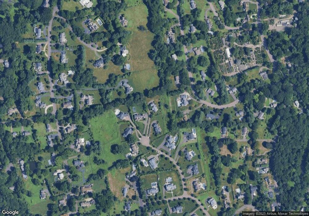
Map
Nearby Homes
- 1135 Mill Hill Rd
- 476 Mill Hill Terrace
- 647 Bronson Rd
- 646 Mill Hill Terrace
- 232 Pell Meadow Dr
- 844 Mill Hill Terrace
- 53 Hilltop Dr
- 28 Mill Hill Rd Unit 28
- 153 Pease Ave
- 254 Sherwood Farm Rd
- 88 Overhill Rd
- 100 Overhill Rd
- 105 Charter Oak Rd
- 360 Duck Farm Rd
- 21 Beaumont St
- 44 Deer Run Rd
- 2 Elmwood Dr Unit 2
- 43 Helen St
- 245 Unquowa Rd Unit 34
- 245 Unquowa Rd Unit 11
- 140 Meadow Ridge Rd
- 130 Meadow Ridge Rd
- 645 Warner Hill Rd
- 171 Fulling Mill Ln
- 171 Fulling Mill Ln Unit LANE
- 149 Fulling Mill Ln
- 205 Fulling Mill Ln
- 133 Meadow Ridge Rd
- 137 Meadow Ridge Rd
- 100 Meadow Ridge Rd
- 129 Meadow Ridge Rd
- 70 Meadow Ridge Rd
- 243 Fulling Mill Ln
- 91 Meadow Ridge Rd
- 121 Fulling Mill Ln
- 198 Fulling Mill Ln S
- 62 Meadow Ridge Rd
- 140 Fulling Mill Ln S
- 100 Warner Hill Ln
- 932 Mill Hill Rd