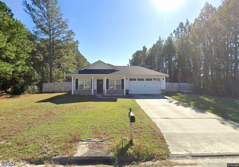
134 Merchant Ln SE Townsend, GA 31331
Estimated Value: $232,734 - $352,000
3
Beds
2
Baths
1,146
Sq Ft
$240/Sq Ft
Est. Value
About This Home
This home is located at 134 Merchant Ln SE, Townsend, GA 31331 and is currently estimated at $275,434, approximately $240 per square foot. 134 Merchant Ln SE is a home located in McIntosh County with nearby schools including Todd Grant Elementary School, McIntosh County Middle School, and McIntosh County Academy.
Ownership History
Date
Name
Owned For
Owner Type
Purchase Details
Closed on
Apr 1, 2021
Sold by
Barr Darren
Bought by
Haywood Quamii D
Current Estimated Value
Home Financials for this Owner
Home Financials are based on the most recent Mortgage that was taken out on this home.
Original Mortgage
$159,090
Outstanding Balance
$143,327
Interest Rate
3%
Mortgage Type
New Conventional
Estimated Equity
$132,107
Purchase Details
Closed on
Feb 20, 2020
Sold by
Osteen J Noel
Bought by
Jno Investments Llc
Home Financials for this Owner
Home Financials are based on the most recent Mortgage that was taken out on this home.
Original Mortgage
$64,900
Interest Rate
3.6%
Mortgage Type
New Conventional
Purchase Details
Closed on
Sep 12, 2018
Sold by
Coastal Pines Forest Llc
Bought by
Osteen J Noel
Home Financials for this Owner
Home Financials are based on the most recent Mortgage that was taken out on this home.
Original Mortgage
$120,610
Interest Rate
4.5%
Mortgage Type
New Conventional
Create a Home Valuation Report for This Property
The Home Valuation Report is an in-depth analysis detailing your home's value as well as a comparison with similar homes in the area
Home Values in the Area
Average Home Value in this Area
Purchase History
| Date | Buyer | Sale Price | Title Company |
|---|---|---|---|
| Haywood Quamii D | $157,500 | -- | |
| Jno Investments Llc | -- | -- | |
| Barr Darren A | $129,900 | -- | |
| Osteen J Noel | $12,500 | -- |
Source: Public Records
Mortgage History
| Date | Status | Borrower | Loan Amount |
|---|---|---|---|
| Open | Haywood Quamii D | $159,090 | |
| Previous Owner | Barr Darren A | $64,900 | |
| Previous Owner | Osteen J Noel | $120,610 |
Source: Public Records
Tax History Compared to Growth
Tax History
| Year | Tax Paid | Tax Assessment Tax Assessment Total Assessment is a certain percentage of the fair market value that is determined by local assessors to be the total taxable value of land and additions on the property. | Land | Improvement |
|---|---|---|---|---|
| 2024 | $2,749 | $93,600 | $5,000 | $88,600 |
| 2023 | $2,646 | $89,560 | $5,000 | $84,560 |
| 2022 | $1,906 | $75,160 | $5,000 | $70,160 |
| 2021 | $1,524 | $57,360 | $5,000 | $52,360 |
| 2020 | $1,540 | $52,200 | $5,000 | $47,200 |
| 2019 | $927 | $34,880 | $5,000 | $29,880 |
| 2018 | $159 | $6,000 | $6,000 | $0 |
| 2017 | $159 | $6,000 | $6,000 | $0 |
| 2016 | $159 | $6,000 | $6,000 | $0 |
| 2015 | $106 | $4,000 | $4,000 | $0 |
| 2014 | $107 | $4,000 | $4,000 | $0 |
Source: Public Records
Map
Nearby Homes
- 1155 Merchant Ln SE
- 1441 Halyard Way SE
- $20,000 PRICE REDUCT Smith Rd SE
- 85 ACRES Catfish Farm Rd SE
- 5096 Smith Rd
- 3261 Smith Rd SE
- 156 AC Us Hwy 17
- 1247 Sapelo Cir SE
- 1155 Sapelo Cir SE
- 1563 Sapelo Cir SE
- Lot 14 Poppell Farms Dr
- 1075 Waters Ct SE
- 1284 Jones Way SE
- 1264 Jones Way SE
- 18 Doboy Ct
- 0 Rice Planter
- Lot 21 Sutherland Bluff Dr NE
- 1474 Mcintosh Trail SE
- 0 Crow Trail SE Unit 1654392
- 0 Highway 99 Unit 22514247
- 133 Merchant Ln SE
- 136 Tidal Dr SE
- 126 Merchant Ln SE
- 127 Merchant Ln SE
- 1056 Tidal Dr SE
- 1008 Tidal Dr SE
- 138 Tidal Dr SE
- 1147 Merchant Ln SE
- 1116 Merchant Ln SE
- 1157 Merchant Ln SE
- 1118 Merchant Ln SE
- 1046 Tidal Dr SE
- 125 Merchant Ln SE
- 1124 Merchant Ln SE
- 1316 Chart Ln SE
- 119 Merchant Ln SE
- 1048 Merchant Ln SE
- 1261 Chart Ln
- 140 Tidal Dr
- 1068 Merchant Ln SE