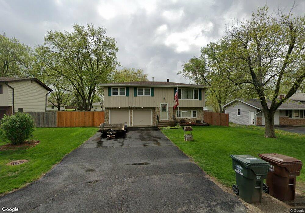
134 Michael Ln New Lenox, IL 60451
Estimated Value: $240,029 - $336,000
3
Beds
2
Baths
--
Sq Ft
10,019
Sq Ft Lot Lot
About This Home
This home is located at 134 Michael Ln, New Lenox, IL 60451 and is currently estimated at $299,757. 134 Michael Ln is a home located in Will County with nearby schools including Oster-Oakview School, Haines Elementary School, and Lincoln Way West.
Ownership History
Date
Name
Owned For
Owner Type
Purchase Details
Closed on
Aug 6, 2004
Sold by
Greinke Charles E and Greinke Bettelou M
Bought by
Kowal Laura
Current Estimated Value
Home Financials for this Owner
Home Financials are based on the most recent Mortgage that was taken out on this home.
Original Mortgage
$178,000
Outstanding Balance
$86,732
Interest Rate
6.17%
Mortgage Type
Stand Alone First
Estimated Equity
$213,025
Purchase Details
Closed on
Dec 3, 2002
Sold by
Greinke Charles Edward
Bought by
Greinke Charles F and Greinke Betielou M
Create a Home Valuation Report for This Property
The Home Valuation Report is an in-depth analysis detailing your home's value as well as a comparison with similar homes in the area
Home Values in the Area
Average Home Value in this Area
Purchase History
| Date | Buyer | Sale Price | Title Company |
|---|---|---|---|
| Kowal Laura | $198,000 | Stewart Title Company | |
| Greinke Charles F | -- | Law Title |
Source: Public Records
Mortgage History
| Date | Status | Borrower | Loan Amount |
|---|---|---|---|
| Open | Kowal Laura | $178,000 | |
| Closed | Greinke Charles F | $0 |
Source: Public Records
Tax History
| Year | Tax Paid | Tax Assessment Tax Assessment Total Assessment is a certain percentage of the fair market value that is determined by local assessors to be the total taxable value of land and additions on the property. | Land | Improvement |
|---|---|---|---|---|
| 2024 | $6,407 | $81,880 | $20,237 | $61,643 |
| 2023 | $6,407 | $74,640 | $18,448 | $56,192 |
| 2022 | $6,193 | $68,761 | $16,995 | $51,766 |
| 2021 | $5,465 | $64,667 | $15,983 | $48,684 |
| 2020 | $5,320 | $62,360 | $15,413 | $46,947 |
| 2019 | $5,098 | $60,426 | $14,935 | $45,491 |
| 2018 | $4,990 | $58,343 | $14,420 | $43,923 |
| 2017 | $4,746 | $56,665 | $14,005 | $42,660 |
| 2016 | $4,614 | $55,148 | $13,630 | $41,518 |
| 2015 | $4,446 | $53,412 | $13,201 | $40,211 |
| 2014 | $4,446 | $52,753 | $13,038 | $39,715 |
| 2013 | $4,446 | $53,464 | $13,214 | $40,250 |
Source: Public Records
Map
Nearby Homes
- 140 Laura Ln
- Lot 207 N Cedar Rd
- 0 N Cedar Rd
- 301 Lilas Ct
- 347 W Francis Rd Unit 1
- 12001 W Route 6
- 1999 Silver Cross Blvd
- 209 Linden Oaks Ln
- 0 Silver Cross Blvd
- 1301 Silver Cross Blvd
- 830 Wagon Dr
- 1605 S Regan Rd
- 1502 London Rd
- 13621 W Maple Rd
- 326 Old Hickory Rd
- 914 Somerset Acres
- 380 N Cedar Rd
- Vacant W Maple St
- 3203 Hickory Creek Dr Unit 4A
- 1420 Pine Grove Ln
- 138 Michael Ln
- 130 Michael Ln
- 131 Branchaw Blvd
- 127 Branchaw Blvd
- 124 Michael Ln
- 142 Michael Ln
- 135 Branchaw Blvd
- 123 Branchaw Blvd
- 133 Michael Ln
- 137 Michael Ln
- 129 Michael Ln
- 146 Michael Ln
- 122 Michael Ln
- 125 Michael Ln
- 141 Michael Ln
- 139 Branchaw Blvd
- 121 Michael Ln
- 121 Michael Ln
- 145 Michael Ln
- 150 Michael Ln
Your Personal Tour Guide
Ask me questions while you tour the home.