134 Pheasant Ridge Rd Bridgeport, WV 26330
Estimated Value: $670,971 - $741,000
4
Beds
5
Baths
4,466
Sq Ft
$156/Sq Ft
Est. Value
About This Home
This home is located at 134 Pheasant Ridge Rd, Bridgeport, WV 26330 and is currently estimated at $698,324, approximately $156 per square foot. 134 Pheasant Ridge Rd is a home located in Harrison County with nearby schools including Dollie Hilll Christian Academy.
Ownership History
Date
Name
Owned For
Owner Type
Purchase Details
Closed on
Sep 10, 2007
Sold by
Cartus Financial Corp
Bought by
Talkington Andrew A and Talkington Jennifer A
Current Estimated Value
Home Financials for this Owner
Home Financials are based on the most recent Mortgage that was taken out on this home.
Original Mortgage
$49,500
Outstanding Balance
$31,293
Interest Rate
6.63%
Estimated Equity
$667,031
Create a Home Valuation Report for This Property
The Home Valuation Report is an in-depth analysis detailing your home's value as well as a comparison with similar homes in the area
Home Values in the Area
Average Home Value in this Area
Purchase History
| Date | Buyer | Sale Price | Title Company |
|---|---|---|---|
| Talkington Andrew A | $495,000 | None Available |
Source: Public Records
Mortgage History
| Date | Status | Borrower | Loan Amount |
|---|---|---|---|
| Open | Talkington Andrew A | $49,500 |
Source: Public Records
Tax History Compared to Growth
Tax History
| Year | Tax Paid | Tax Assessment Tax Assessment Total Assessment is a certain percentage of the fair market value that is determined by local assessors to be the total taxable value of land and additions on the property. | Land | Improvement |
|---|---|---|---|---|
| 2025 | $4,373 | $375,360 | $63,120 | $312,240 |
| 2024 | $4,373 | $351,600 | $63,120 | $288,480 |
| 2023 | $4,033 | $317,100 | $63,120 | $253,980 |
| 2022 | $3,710 | $314,820 | $63,120 | $251,700 |
| 2021 | $3,626 | $311,400 | $63,120 | $248,280 |
| 2020 | $3,552 | $307,980 | $63,120 | $244,860 |
| 2019 | $3,540 | $306,840 | $63,120 | $243,720 |
| 2018 | $3,484 | $303,420 | $63,120 | $240,300 |
| 2017 | $3,417 | $298,860 | $63,120 | $235,740 |
| 2016 | $3,323 | $294,360 | $63,120 | $231,240 |
| 2015 | $3,263 | $287,340 | $61,800 | $225,540 |
| 2014 | $3,220 | $283,920 | $61,800 | $222,120 |
Source: Public Records
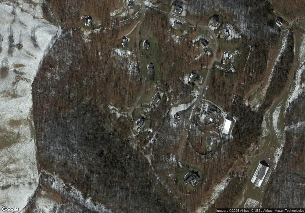
Map
Nearby Homes
- 516 Brushy Fork Rd
- TBD Benedum Run Rd
- TBD Sterling Dr
- 84 Benedum Run Rd
- 54 Church St
- 131 Frisco Ln
- 17 Solomon Dr
- TBD N 24th St
- 216 Zachs Run Rd
- 332 Timberbrook Ln
- 4950 Buckhannon Pike
- 2589 Philippi Pike
- 7 Mayflower Ln
- 8264 Powell Ave
- 8712 Cost Ave
- 8688 Cost Ave
- 8037 Maple Ave
- TBD Hinkle Lake Rd
- 8030 Labrador Ln
- 210 Frisco Ln
- 136 Pheasant Ridge Rd
- 322 Ruffed Grouse Dr
- 388 Ruffed Grouse Dr
- 445 Pheasant Ridge Rd
- 215 Ruffed Grouse Dr
- 217 Ruffed Grouse Dr
- 243 Ruffed Grouse Dr
- 211 Ruffed Grouse Dr
- 209 Ruffed Grouse Dr
- 206 Ruffed Grouse Dr
- 586 Pheasant Ridge Rd
- 202 Ruffed Grouse Dr
- 156 Ruffed Grouse Dr
- 69 Ruffed Grouse Dr
- 135 Ruffed Grouse Dr
- 11 Pheasant Ridge Rd
- 379 Pheasant Ridge Rd
- 132 Pheasant Ridge Rd
- 125 Pheasant Ridge Rd
- 121 Pheasant Ridge Rd