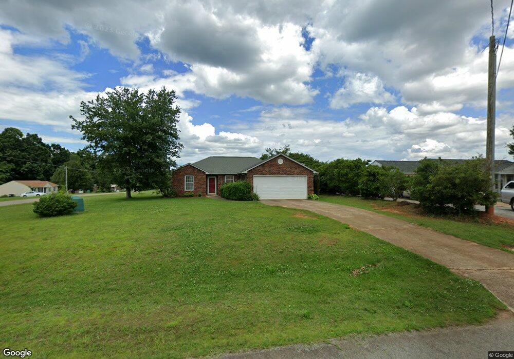
134 Pheasant Run Rd Troutman, NC 28166
Estimated Value: $262,470 - $300,000
3
Beds
2
Baths
1,117
Sq Ft
$248/Sq Ft
Est. Value
About This Home
This home is located at 134 Pheasant Run Rd, Troutman, NC 28166 and is currently estimated at $277,118, approximately $248 per square foot. 134 Pheasant Run Rd is a home located in Iredell County with nearby schools including Shepherd Elementary School, Troutman Middle School, and South Iredell High School.
Ownership History
Date
Name
Owned For
Owner Type
Purchase Details
Closed on
Jan 25, 2016
Sold by
Scott Barry G and Scott Sonia D
Bought by
Scott Sonia O
Current Estimated Value
Home Financials for this Owner
Home Financials are based on the most recent Mortgage that was taken out on this home.
Original Mortgage
$196,500
Outstanding Balance
$151,225
Interest Rate
3.17%
Mortgage Type
Reverse Mortgage Home Equity Conversion Mortgage
Estimated Equity
$125,893
Purchase Details
Closed on
Dec 9, 1993
Bought by
Scott Barry G
Purchase Details
Closed on
Oct 1, 1993
Create a Home Valuation Report for This Property
The Home Valuation Report is an in-depth analysis detailing your home's value as well as a comparison with similar homes in the area
Home Values in the Area
Average Home Value in this Area
Purchase History
| Date | Buyer | Sale Price | Title Company |
|---|---|---|---|
| Scott Sonia O | -- | None Available | |
| Scott Barry G | $80,500 | -- | |
| -- | -- | -- |
Source: Public Records
Mortgage History
| Date | Status | Borrower | Loan Amount |
|---|---|---|---|
| Open | Scott Sonia O | $196,500 |
Source: Public Records
Tax History Compared to Growth
Tax History
| Year | Tax Paid | Tax Assessment Tax Assessment Total Assessment is a certain percentage of the fair market value that is determined by local assessors to be the total taxable value of land and additions on the property. | Land | Improvement |
|---|---|---|---|---|
| 2025 | $1,301 | $210,290 | $20,000 | $190,290 |
| 2024 | $1,301 | $210,290 | $20,000 | $190,290 |
| 2023 | $1,301 | $210,290 | $20,000 | $190,290 |
| 2022 | $875 | $129,940 | $20,000 | $109,940 |
| 2021 | $871 | $129,940 | $20,000 | $109,940 |
| 2020 | $870 | $129,940 | $20,000 | $109,940 |
| 2019 | $858 | $129,940 | $20,000 | $109,940 |
| 2018 | $790 | $123,460 | $20,000 | $103,460 |
| 2017 | $790 | $123,460 | $20,000 | $103,460 |
| 2016 | $790 | $123,460 | $20,000 | $103,460 |
| 2015 | $790 | $123,460 | $20,000 | $103,460 |
| 2014 | $700 | $116,800 | $20,000 | $96,800 |
Source: Public Records
Map
Nearby Homes
- 104 Single Oak Dr
- 154 Winford Rd
- 232 Sugar Hill Rd
- 212 Sugar Hill Rd
- 144 Sugar Hill Rd
- 123 Pleasant Creek Dr
- 173 Deer Valley Dr Unit 31
- 515 Brawley Rd
- 306 Fesperman Cir
- Bayside Plan at Wheatfield Estates
- Wayne Plan at Wheatfield Estates
- Riley Plan at Wheatfield Estates
- TA4000 Plan at Wheatfield Estates
- Jasper Plan at Wheatfield Estates
- Montcrest Plan at Wheatfield Estates
- Kipling Plan at Wheatfield Estates
- Hudson Plan at Wheatfield Estates
- Wakefield Plan at Wheatfield Estates
- Whitney Plan at Wheatfield Estates
- Tate Plan at Wheatfield Estates
- 130 Pheasant Run Rd
- 149 Single Oak Dr
- 160 Single Oak Dr
- 150 Single Oak Dr
- 124 Pheasant Run Rd
- 154 Single Oak Dr
- 137 Pheasant Run Rd
- 145 Single Oak Dr
- 127 Pheasant Run Rd
- 118 Pheasant Run Rd
- 57 Single Oak Dr
- 141 Single Oak Dr
- 145 Pheasant Run Rd
- 121 Pheasant Run Rd
- 154 Pheasant Run Rd
- 151 Pheasant Run Rd
- 352 Weathers Creek Rd
- 135 Single Oak Dr
- 115 Pheasant Run Rd
- 136 Single Oak Dr