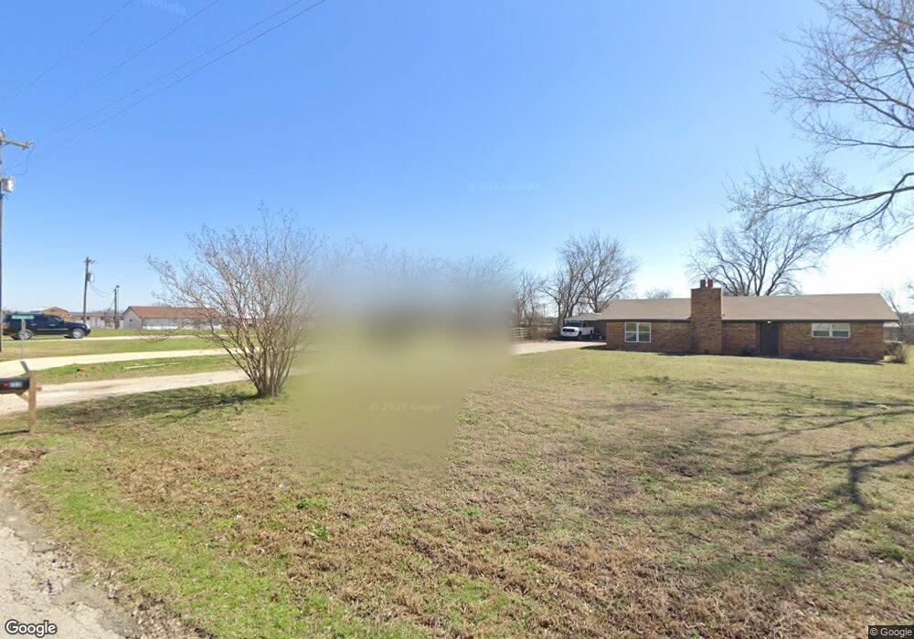
134 Phillips St Callisburg, TX 76240
Estimated Value: $311,000
--
Bed
--
Bath
--
Sq Ft
1.71
Acres
About This Home
This home is located at 134 Phillips St, Callisburg, TX 76240 and is currently priced at $311,000. 134 Phillips St is a home located in Cooke County with nearby schools including Callisburg Elementary School, Callisburg Middle School, and Callisburg High School.
Ownership History
Date
Name
Owned For
Owner Type
Purchase Details
Closed on
Apr 1, 2016
Sold by
Jarvis & Jarvis Inc
Bought by
Board Of Trustees Of The Callisburg Inde
Current Estimated Value
Purchase Details
Closed on
Jul 1, 2010
Sold by
Cason Holdings Lp
Bought by
Jarvis Jeremy and Jarvis Angela
Home Financials for this Owner
Home Financials are based on the most recent Mortgage that was taken out on this home.
Original Mortgage
$120,000
Interest Rate
4.77%
Create a Home Valuation Report for This Property
The Home Valuation Report is an in-depth analysis detailing your home's value as well as a comparison with similar homes in the area
Home Values in the Area
Average Home Value in this Area
Purchase History
| Date | Buyer | Sale Price | Title Company |
|---|---|---|---|
| Board Of Trustees Of The Callisburg Inde | -- | None Available | |
| Jarvis Jeremy | -- | -- |
Source: Public Records
Mortgage History
| Date | Status | Borrower | Loan Amount |
|---|---|---|---|
| Previous Owner | Jarvis Jeremy | $120,000 |
Source: Public Records
Tax History Compared to Growth
Tax History
| Year | Tax Paid | Tax Assessment Tax Assessment Total Assessment is a certain percentage of the fair market value that is determined by local assessors to be the total taxable value of land and additions on the property. | Land | Improvement |
|---|---|---|---|---|
| 2025 | -- | $98,868 | $98,868 | $0 |
| 2024 | $1,315 | $98,868 | $98,868 | $0 |
| 2023 | $1,112 | $79,692 | $79,692 | $0 |
| 2022 | $1,120 | $69,774 | $69,774 | $0 |
| 2021 | $942 | $47,381 | $47,381 | $0 |
| 2020 | $903 | $42,200 | $42,200 | $0 |
| 2019 | $725 | $33,650 | $33,650 | $0 |
| 2018 | $695 | $31,940 | $31,940 | $0 |
| 2017 | $506 | $23,100 | $23,100 | $0 |
| 2015 | $2,501 | $117,196 | $35,100 | $82,096 |
| 2014 | $2,501 | $117,196 | $35,100 | $82,096 |
Source: Public Records
Map
Nearby Homes
- 37.38 Farm To Market Road 678
- 409 Austin St
- 108 Post Oak Ln
- 401 Austin St
- 13023 Big Indian Rd
- 398 Phillips St
- 3.00 Acres Farm To Market Road 678
- 14279 Fm 678
- 1304 County Road 115
- 638 County Road 119
- TBD Cr 136
- TBD Cr-122
- 91 acres Cr-189
- 0000 County Road 121
- 783 County Road 128
- TBD Cr 113
- 0 Tbd County Road 113
- 000 County Road 1258
- 1429 County Road 140
- 204 County Road 107
- 168 Phillips St
- 110 Courtney Ln
- 152 Phillips St
- 155 Courtney Ln Unit 451
- 188 Phillips St
- 14 County Road 115
- 239 Mcdaniel St
- 215 Mcdaniel St
- 255 Mcdaniel St
- 199 Mcdaniel St
- 171 Dozier St
- 133 Dozier St Unit S
- 197 Dozier St
- 115 Dozier St
- 221 Mcdaniel St
- 157 Mcdaniel St
- 420 Austin St
- 67 Dozier St
- 141 Mcdaniel St
- 30 Co Road 115