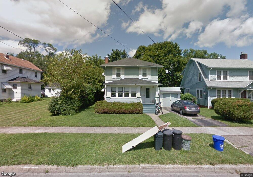
134 Pierce Ave Sharpsville, PA 16150
Estimated Value: $79,000 - $134,000
--
Bed
--
Bath
1,248
Sq Ft
$89/Sq Ft
Est. Value
About This Home
This home is located at 134 Pierce Ave, Sharpsville, PA 16150 and is currently estimated at $110,560, approximately $88 per square foot. 134 Pierce Ave is a home with nearby schools including Sharpsville Area Elementary School, Sharpsville Area Middle School, and Sharpsville Area Senior High School.
Ownership History
Date
Name
Owned For
Owner Type
Purchase Details
Closed on
Jul 27, 2020
Sold by
Lazor Basil T and Longstreet Stephanie
Bought by
Longstreet Stephanie and Longstreet Gordon C
Current Estimated Value
Home Financials for this Owner
Home Financials are based on the most recent Mortgage that was taken out on this home.
Original Mortgage
$87,000
Outstanding Balance
$86,062
Interest Rate
4.04%
Mortgage Type
Reverse Mortgage Home Equity Conversion Mortgage
Estimated Equity
$24,498
Purchase Details
Closed on
Oct 21, 2019
Sold by
Cruickshank Paula and Cruickshank Douglas
Bought by
Lazor Basil T and Longstreet Stephanie
Create a Home Valuation Report for This Property
The Home Valuation Report is an in-depth analysis detailing your home's value as well as a comparison with similar homes in the area
Home Values in the Area
Average Home Value in this Area
Purchase History
| Date | Buyer | Sale Price | Title Company |
|---|---|---|---|
| Longstreet Stephanie | -- | Fnc Title Services Llc | |
| Lazor Basil T | -- | None Available |
Source: Public Records
Mortgage History
| Date | Status | Borrower | Loan Amount |
|---|---|---|---|
| Open | Longstreet Stephanie | $87,000 |
Source: Public Records
Tax History Compared to Growth
Tax History
| Year | Tax Paid | Tax Assessment Tax Assessment Total Assessment is a certain percentage of the fair market value that is determined by local assessors to be the total taxable value of land and additions on the property. | Land | Improvement |
|---|---|---|---|---|
| 2025 | $1,614 | $11,800 | $1,650 | $10,150 |
| 2024 | $1,614 | $11,800 | $1,650 | $10,150 |
| 2023 | $1,573 | $11,800 | $1,650 | $10,150 |
| 2022 | $1,544 | $11,800 | $1,650 | $10,150 |
| 2021 | $1,544 | $11,800 | $1,650 | $10,150 |
| 2020 | $1,358 | $10,500 | $1,650 | $8,850 |
| 2019 | $1,337 | $10,500 | $1,650 | $8,850 |
| 2018 | $1,292 | $10,500 | $1,650 | $8,850 |
| 2017 | $1,297 | $10,500 | $1,650 | $8,850 |
| 2016 | -- | $10,500 | $1,650 | $8,850 |
| 2015 | -- | $10,500 | $1,650 | $8,850 |
| 2014 | -- | $10,500 | $1,650 | $8,850 |
Source: Public Records
Map
Nearby Homes
- 23 Pierce Ave
- 50 Davis Dr
- 22 Davis Dr
- 245 Milliken Ave
- 433 W Ridge Ave
- 28 S 5th St
- 535 Oak St
- 133 S 7th St
- 396 S 4th St
- 134 N Mercer Ave
- 393 S 7th St
- 331 S 9th St
- 100 Koehler Dr
- 550 S Mercer Ave
- 934 W Ridge Ave
- 2401 Pebble Creek Ct
- 890 Woodland Rd
- 570 S 7th St
- 2056 Pierce Bluffs Dr
- Lot 69 Alexander Crossing
- 126 Pierce Ave
- 198 Pierce Ave
- 110 Pierce Ave
- 200 Pierce Ave
- 106 Pierce Ave
- 133 Pierce Ave
- 127 Pierce Ave
- 203 Pierce Ave
- 117 Pierce Ave
- 216 Pierce Ave
- 135 W Ridge Ave
- 127 W Ridge Ave
- 109 Pierce Ave
- 141 W Ridge Ave
- 208 Pierce Ave
- 101 Pierce Ave
- 219 Pierce Ave
- 117 W Ridge Ave
- 117 W Ridge Ave
- 224 Pierce Ave