
Seller's Agent in 2025
Xiaohong Whitiak
Dwell Real Estate - Dunmore Branch Office
(570) 604-9533
4 in this area
23 Total Sales
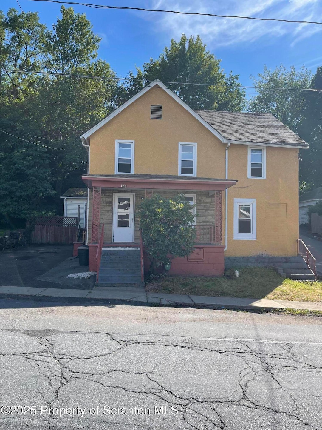
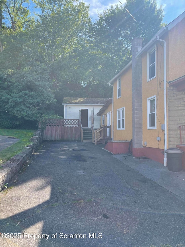
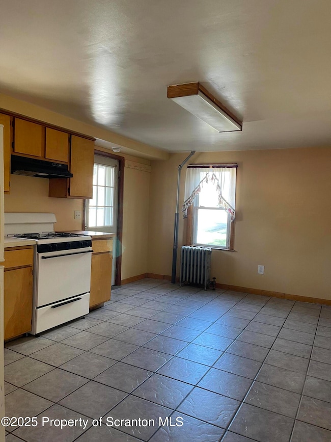
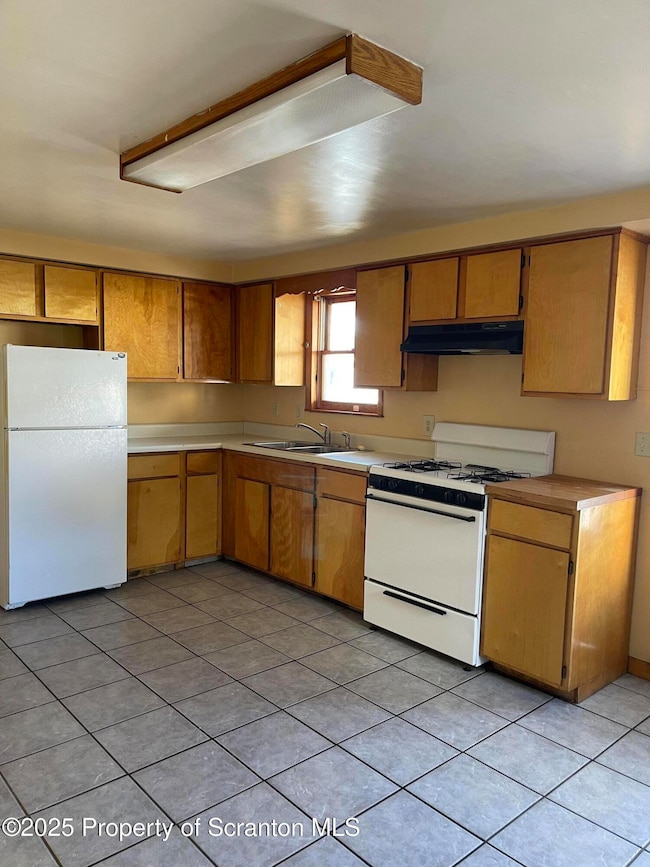
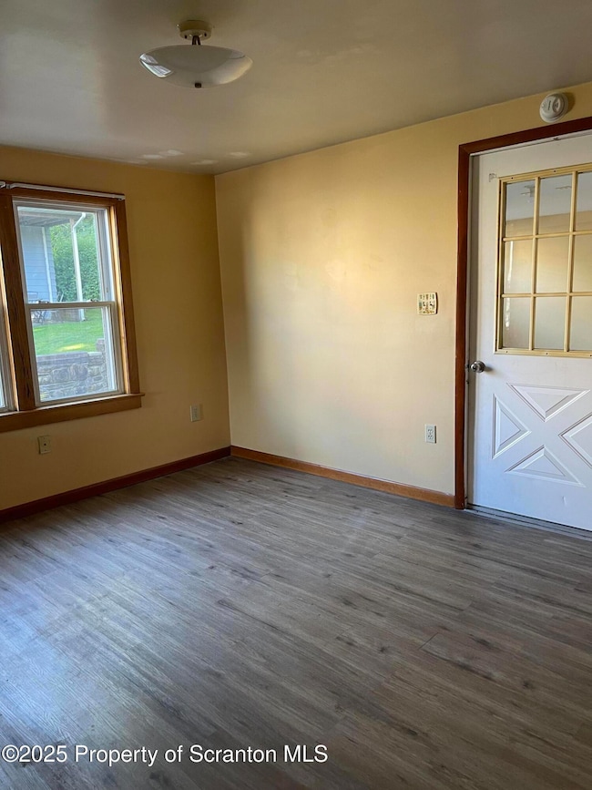
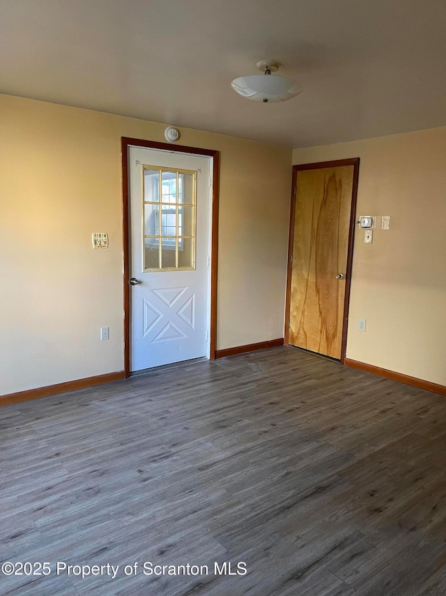
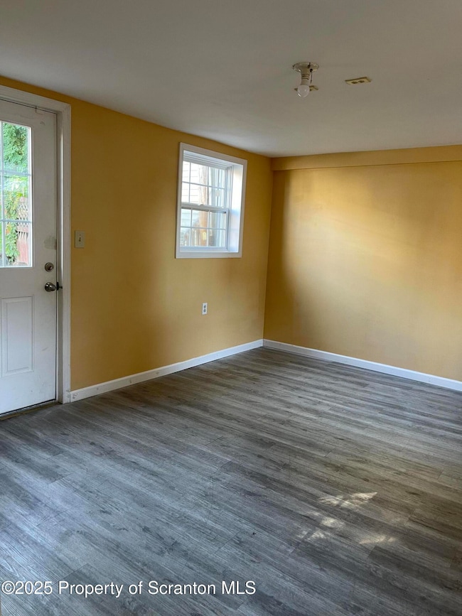
Price to sell! Corner lot. 3 bedroom 1 3/4 bathroom with 1 car garage house in Dunmore. Upstairs has 3 bedroom, 1 full bath. Downstairs has Kitchen, Living room, Dining room, Family room and 3/4 bathroom combine with laundry room. The layout can make it easy to use it as a mother-in-law suite on first floor. New water heater replaced on 2024. Plenty off street parking along side of the house. Front porch and a little patio on the back
Last Agent to Sell the Property
Dwell Real Estate - Dunmore Branch Office License #RS271006L Listed on: 08/19/2025
| Date | Type | Sale Price | Title Company |
|---|---|---|---|
| Deed | $170,000 | None Listed On Document | |
| Deed | $105,000 | None Listed On Document | |
| Deed | $40,000 | None Available |
| Date | Status | Loan Amount | Loan Type |
|---|---|---|---|
| Open | $166,920 | FHA | |
| Previous Owner | $84,000 | New Conventional | |
| Previous Owner | $32,000 | New Conventional |
| Date | Event | Price | List to Sale | Price per Sq Ft |
|---|---|---|---|---|
| 10/23/2025 10/23/25 | Sold | $170,000 | +7.6% | $121 / Sq Ft |
| 08/22/2025 08/22/25 | Pending | -- | -- | -- |
| 08/19/2025 08/19/25 | For Sale | $158,000 | -- | $113 / Sq Ft |
| Year | Tax Paid | Tax Assessment Tax Assessment Total Assessment is a certain percentage of the fair market value that is determined by local assessors to be the total taxable value of land and additions on the property. | Land | Improvement |
|---|---|---|---|---|
| 2025 | $2,462 | $8,248 | $948 | $7,300 |
| 2024 | $2,104 | $8,248 | $948 | $7,300 |
| 2023 | $2,104 | $8,248 | $948 | $7,300 |
| 2022 | $1,974 | $8,248 | $948 | $7,300 |
| 2021 | $1,935 | $8,248 | $948 | $7,300 |
| 2020 | $1,935 | $8,248 | $948 | $7,300 |
| 2019 | $1,850 | $8,248 | $948 | $7,300 |
| 2018 | $1,820 | $8,248 | $948 | $7,300 |
| 2017 | $1,768 | $8,248 | $948 | $7,300 |
| 2016 | $931 | $8,248 | $948 | $7,300 |
| 2015 | -- | $8,248 | $948 | $7,300 |
| 2014 | -- | $8,248 | $948 | $7,300 |
Seller's Agent in 2025
Xiaohong Whitiak
Dwell Real Estate - Dunmore Branch Office
(570) 604-9533
4 in this area
23 Total Sales
Buyer's Agent in 2025
Xiomara Caraballo
EXP Realty LLC
(570) 851-9475
2 in this area
50 Total Sales
Source: Greater Scranton Board of REALTORS®
MLS Number: GSBSC254188
APN: 15708020006
Disclaimer: Certain information contained herein is derived from information provided by parties other than Homes.com. All information provided is deemed reliable, but is not guaranteed to be accurate and should be independently verified.
![]() Information provided by the Greater Scranton Board of REALTORS® MLS. Information is for consumer’s personal noncommercial use, and may not be used for any purpose other than identifying properties which consumers may be interested in purchasing. Consult the specific municipality for permitted Zoning uses.
Information provided by the Greater Scranton Board of REALTORS® MLS. Information is for consumer’s personal noncommercial use, and may not be used for any purpose other than identifying properties which consumers may be interested in purchasing. Consult the specific municipality for permitted Zoning uses.