134 Sharpe St Unit D West Greenwich, RI 02817
Estimated Value: $972,000 - $1,242,000
3
Beds
3
Baths
3,351
Sq Ft
$320/Sq Ft
Est. Value
About This Home
This home is located at 134 Sharpe St Unit D, West Greenwich, RI 02817 and is currently estimated at $1,072,759, approximately $320 per square foot. 134 Sharpe St Unit D is a home located in Kent County with nearby schools including Mildred E. Lineham School, Metcalf School, and Wawaloam School.
Ownership History
Date
Name
Owned For
Owner Type
Purchase Details
Closed on
Aug 30, 2018
Sold by
Smiley Alan T and Smiley Phyllis M
Bought by
Lawrence Brooke and Salisbury Janna
Current Estimated Value
Home Financials for this Owner
Home Financials are based on the most recent Mortgage that was taken out on this home.
Original Mortgage
$506,350
Outstanding Balance
$440,658
Interest Rate
4.5%
Mortgage Type
Purchase Money Mortgage
Estimated Equity
$632,101
Create a Home Valuation Report for This Property
The Home Valuation Report is an in-depth analysis detailing your home's value as well as a comparison with similar homes in the area
Home Values in the Area
Average Home Value in this Area
Purchase History
| Date | Buyer | Sale Price | Title Company |
|---|---|---|---|
| Lawrence Brooke | $533,000 | -- |
Source: Public Records
Mortgage History
| Date | Status | Borrower | Loan Amount |
|---|---|---|---|
| Open | Lawrence Brooke | $506,350 | |
| Previous Owner | Lawrence Brooke | $50,000 | |
| Previous Owner | Lawrence Brooke | $50,000 | |
| Previous Owner | Lawrence Brooke | $100,000 |
Source: Public Records
Tax History Compared to Growth
Tax History
| Year | Tax Paid | Tax Assessment Tax Assessment Total Assessment is a certain percentage of the fair market value that is determined by local assessors to be the total taxable value of land and additions on the property. | Land | Improvement |
|---|---|---|---|---|
| 2024 | $18,546 | $780,900 | $253,800 | $527,100 |
| 2023 | $11,703 | $477,490 | $134,390 | $343,100 |
| 2022 | $11,703 | $477,490 | $134,390 | $343,100 |
| 2021 | $13,440 | $559,300 | $216,200 | $343,100 |
| 2020 | $11,359 | $477,490 | $134,390 | $343,100 |
| 2019 | $16,267 | $673,025 | $275,825 | $397,200 |
| 2018 | $10,558 | $445,590 | $119,690 | $325,900 |
| 2017 | $10,048 | $445,590 | $119,690 | $325,900 |
| 2016 | $10,542 | $467,490 | $104,490 | $363,000 |
| 2015 | $10,542 | $467,490 | $104,490 | $363,000 |
| 2013 | $9,678 | $429,200 | $114,100 | $315,100 |
Source: Public Records
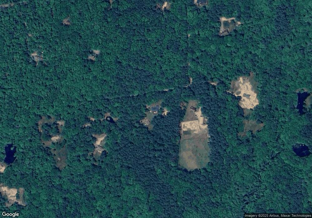
Map
Nearby Homes
- 10 Fellowship Ct
- 211 Victory Hwy
- 417 Victory Hwy
- 886 Weaver Hill Rd
- 500 Victory Hwy
- 420 Robin Hollow Rd
- 64 Knight View Dr
- 296 Twin Brook Ln
- 01 Stubble Brook Rd
- 234 John Potter Rd
- 102 Robin Hollow Rd
- 550 Twin Brook Ln
- 1 Henry Clay Ct
- 1840 Harkney Hill Rd
- 1663 Victory Hwy
- 1398 Harkney Hill Rd
- 1565 Victory Hwy Unit 1567
- 839 Nooseneck Hill Rd
- 13 Stark Dr
- 96 Log Bridge Rd
- 134 Sharpe St Unit E
- 134 Sharpe St Unit C
- 134 Sharpe St Unit B
- 134 Sharpe St
- 190 Sharpe St
- 180 Sharpe St
- 174 Sharpe St
- 178 Sharpe St
- 191 Sharpe St
- 233 Sharpe St
- 241 Sharpe St
- 154 Sharpe St
- 247 Sharpe St
- 140 Sharpe St
- 253 Sharpe St
- 144 Sharpe St
- 132 Sharpe St
- 135E Sharpe St
- 143 Sharpe St
- 139 Sharpe St