134 Sherman Rd Wakefield, RI 02879
Estimated Value: $975,000 - $1,492,658
2
Beds
2
Baths
1,144
Sq Ft
$1,042/Sq Ft
Est. Value
About This Home
This home is located at 134 Sherman Rd, Wakefield, RI 02879 and is currently estimated at $1,192,415, approximately $1,042 per square foot. 134 Sherman Rd is a home with nearby schools including South Kingstown High School.
Ownership History
Date
Name
Owned For
Owner Type
Purchase Details
Closed on
May 22, 2020
Sold by
Dolan Margaret E
Bought by
Harbor Int and Harbor Dolan
Current Estimated Value
Purchase Details
Closed on
Apr 15, 2005
Sold by
Glickin Nancy J and Glickin Harold
Bought by
Dolan Margaret E
Create a Home Valuation Report for This Property
The Home Valuation Report is an in-depth analysis detailing your home's value as well as a comparison with similar homes in the area
Home Values in the Area
Average Home Value in this Area
Purchase History
| Date | Buyer | Sale Price | Title Company |
|---|---|---|---|
| Harbor Int | -- | None Available | |
| Harbor Int | -- | None Available | |
| Dolan Margaret E | $499,000 | -- | |
| Dolan Margaret E | $499,000 | -- |
Source: Public Records
Mortgage History
| Date | Status | Borrower | Loan Amount |
|---|---|---|---|
| Previous Owner | Dolan Margaret E | $278,000 | |
| Previous Owner | Dolan Margaret E | $350,000 |
Source: Public Records
Tax History Compared to Growth
Tax History
| Year | Tax Paid | Tax Assessment Tax Assessment Total Assessment is a certain percentage of the fair market value that is determined by local assessors to be the total taxable value of land and additions on the property. | Land | Improvement |
|---|---|---|---|---|
| 2025 | $11,323 | $1,266,500 | $790,600 | $475,900 |
| 2024 | $11,345 | $1,026,700 | $648,600 | $378,100 |
| 2023 | $11,345 | $1,026,700 | $648,600 | $378,100 |
| 2022 | $11,242 | $1,026,700 | $648,600 | $378,100 |
| 2021 | $9,715 | $672,300 | $399,400 | $272,900 |
| 2020 | $9,715 | $672,300 | $399,400 | $272,900 |
| 2019 | $9,715 | $672,300 | $399,400 | $272,900 |
| 2018 | $9,392 | $599,000 | $375,900 | $223,100 |
| 2017 | $9,171 | $599,000 | $375,900 | $223,100 |
| 2016 | $9,039 | $599,000 | $375,900 | $223,100 |
| 2015 | $8,474 | $546,000 | $341,900 | $204,100 |
| 2014 | $8,452 | $546,000 | $341,900 | $204,100 |
Source: Public Records
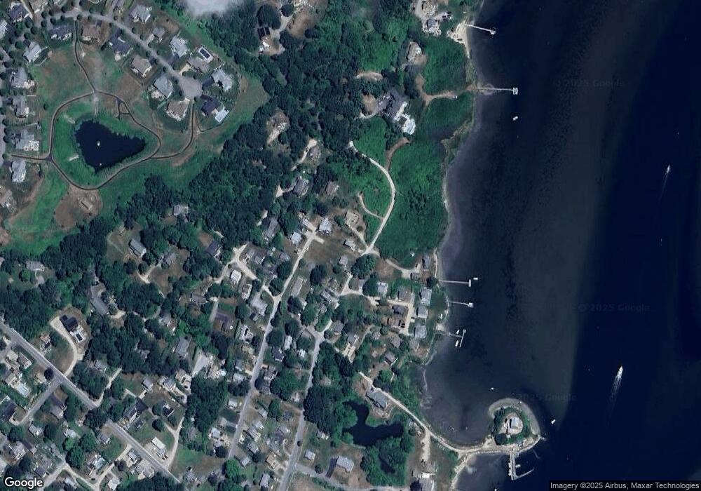
Map
Nearby Homes
- 23 E Matunuck Farm Dr
- 40 Wild Rose Ct
- 16 High Tides Ln
- 76 Hartford Ave
- 689 Succotash Rd
- 691 Succotash Rd
- 25 Scallop Shell Rd
- 14 E Pointe Ct Unit 14
- 1185 Succotash Rd
- 17 Goose Island Rd
- 6 MacAlder St
- 380 Camp Fuller Rd
- 271 Great Island Rd
- 232 Sand Hill Cove Rd Unit 232 C
- 2139 Commodore Oliver Hazard Perry Hwy
- 124 Houston Ave
- 45 Durkin Dr
- 24 Peninsula Rd
- 0 Houston Ave
- 89 Sand Hill Cove Rd
- 126 Sherman Rd
- 144 Sherman Rd
- 138 Hull St
- 114 Sherman Rd
- 111 Hull St
- 110 Sherman Rd
- 122 Hull St
- 117 Sherman Rd Unit C
- 117 Sherman Rd Unit A
- 117 Sherman Rd Unit G
- 117 Sherman Rd
- 117 Sherman Rd Unit F
- 117 Sherman Rd Unit H
- 116 Hull St
- 150 Sherman Rd
- 103 Hull St
- 137 Sherman Rd
- 104 Hull St
- 127 Marine Rd
- 40 Point Ave