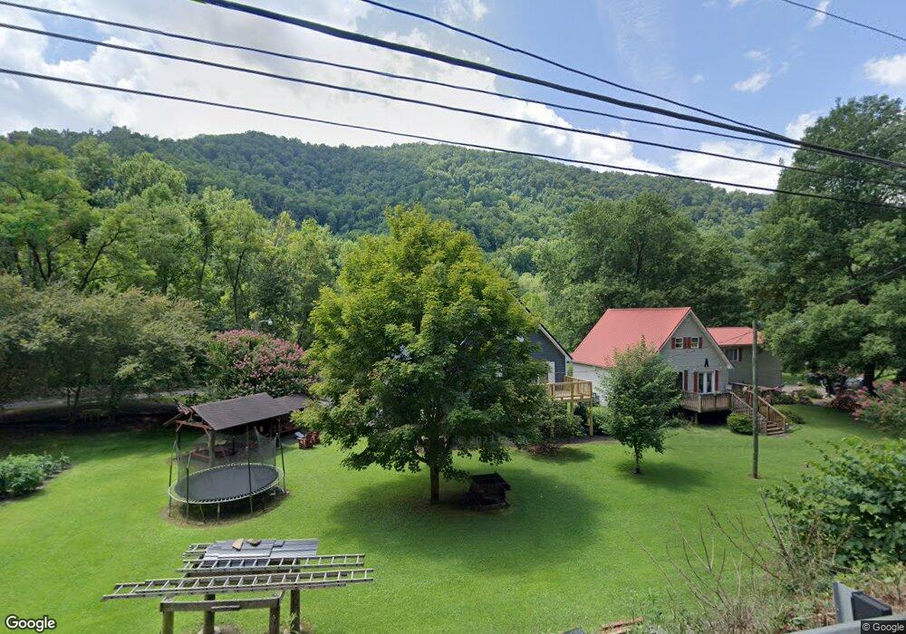
134 Sherman St Sylvester, WV 25193
Estimated Value: $80,000 - $109,000
3
Beds
1
Bath
1,452
Sq Ft
$64/Sq Ft
Est. Value
About This Home
This home is located at 134 Sherman St, Sylvester, WV 25193 and is currently estimated at $92,885, approximately $63 per square foot. 134 Sherman St is a home.
Ownership History
Date
Name
Owned For
Owner Type
Purchase Details
Closed on
Jul 17, 2025
Sold by
Webb Robert M and Webb Jeanne
Bought by
Stewart Travis and Stewart Tiffany
Current Estimated Value
Home Financials for this Owner
Home Financials are based on the most recent Mortgage that was taken out on this home.
Original Mortgage
$108,007
Outstanding Balance
$107,824
Interest Rate
6.84%
Mortgage Type
FHA
Estimated Equity
-$14,939
Create a Home Valuation Report for This Property
The Home Valuation Report is an in-depth analysis detailing your home's value as well as a comparison with similar homes in the area
Home Values in the Area
Average Home Value in this Area
Purchase History
| Date | Buyer | Sale Price | Title Company |
|---|---|---|---|
| Stewart Travis | $110,000 | Bestitle Agency | |
| Stewart Travis | $110,000 | Bestitle Agency |
Source: Public Records
Mortgage History
| Date | Status | Borrower | Loan Amount |
|---|---|---|---|
| Open | Stewart Travis | $108,007 | |
| Closed | Stewart Travis | $108,007 |
Source: Public Records
Tax History Compared to Growth
Tax History
| Year | Tax Paid | Tax Assessment Tax Assessment Total Assessment is a certain percentage of the fair market value that is determined by local assessors to be the total taxable value of land and additions on the property. | Land | Improvement |
|---|---|---|---|---|
| 2024 | $313 | $45,060 | $1,920 | $43,140 |
| 2023 | $273 | $41,760 | $1,920 | $39,840 |
| 2022 | $123 | $29,700 | $1,920 | $27,780 |
| 2021 | $105 | $28,320 | $1,920 | $26,400 |
| 2020 | $115 | $29,040 | $1,920 | $27,120 |
| 2019 | $115 | $29,040 | $1,920 | $27,120 |
| 2018 | $120 | $29,460 | $1,920 | $27,540 |
| 2017 | $93 | $27,300 | $1,920 | $25,380 |
| 2016 | $98 | $27,720 | $1,920 | $25,800 |
| 2015 | $299 | $23,580 | $1,920 | $21,660 |
| 2014 | $250 | $19,740 | $1,920 | $17,820 |
Source: Public Records
Map
Nearby Homes
- 686 Branham Heights Rd
- 3822 Seng Creek Rd
- 4076 Seng Creek Rd
- 24061 State Highway 3
- 168 Bowen Lane and Aleshire Walk Rd
- 14156 Coal River Rd
- 6888 Joes Creek Rd
- 604 Coal Fork Laurel Rd
- 135 Dakota Ct
- 306 Rockcastle Rd
- 574 Churchill Rd
- 1561 Prenter Rd
- 269 Nevada St
- 0 Pond Fork Rd
- 20265 Pond Fork Rd
- 120 Tranquil Ct
- 112 Tranquil Ct
- 23836 Pond Fork Rd
- 1315 Drew Creek
- 7518 Coal River Rd
- 157 Roundbottom Cir
- 232 Roundbottom Cir
- 252 Roundbottom Cir
- 274 Roundbottom Cir
- 384 Roundbottom Cir
- 438 Roundbottom Cir
- 442 Roundbottom Cir
- 486 Roundbottom Cir
- 518 Roundbottom Cir
- 471 Roundbottom Cir
- 33406 Coal River Rd
- 321 Sherman St
- 320 Sherman St
- 33362 Coal River Rd
- 318 Sherman St
- 319 Sherman St
- 316 Sherman St
- 313 Sherman St
- 314 Sherman St
- 861 Branham Heights Rd