134 Singletree Rd Orland Park, IL 60467
Orland Grove NeighborhoodEstimated Value: $826,000 - $983,000
5
Beds
3
Baths
4,107
Sq Ft
$222/Sq Ft
Est. Value
About This Home
This home is located at 134 Singletree Rd, Orland Park, IL 60467 and is currently estimated at $913,720, approximately $222 per square foot. 134 Singletree Rd is a home located in Cook County with nearby schools including Centennial School, Meadow Ridge School, and Century Junior High School.
Ownership History
Date
Name
Owned For
Owner Type
Purchase Details
Closed on
Sep 25, 2006
Sold by
Paluch Gerald J and Paluch Arlene Carol
Bought by
Paluch Gerald J and Paluch Arlene Carol
Current Estimated Value
Purchase Details
Closed on
Dec 19, 2002
Sold by
Paluch Gerald J and Paluch Arlene C
Bought by
Paluch Gerald J and Paluch Arlene Carol
Purchase Details
Closed on
Mar 5, 1996
Sold by
Lasalle National Trust Na
Bought by
Paluch Gerald J and Paluch Arlene C
Create a Home Valuation Report for This Property
The Home Valuation Report is an in-depth analysis detailing your home's value as well as a comparison with similar homes in the area
Home Values in the Area
Average Home Value in this Area
Purchase History
| Date | Buyer | Sale Price | Title Company |
|---|---|---|---|
| Paluch Gerald J | -- | None Available | |
| Paluch Gerald J | -- | -- | |
| Paluch Gerald J | $115,000 | -- |
Source: Public Records
Tax History Compared to Growth
Tax History
| Year | Tax Paid | Tax Assessment Tax Assessment Total Assessment is a certain percentage of the fair market value that is determined by local assessors to be the total taxable value of land and additions on the property. | Land | Improvement |
|---|---|---|---|---|
| 2024 | $15,524 | $68,000 | $10,046 | $57,954 |
| 2023 | $14,426 | $68,000 | $10,046 | $57,954 |
| 2022 | $14,426 | $54,316 | $8,706 | $45,610 |
| 2021 | $13,980 | $54,315 | $8,706 | $45,609 |
| 2020 | $13,570 | $54,315 | $8,706 | $45,609 |
| 2019 | $13,374 | $54,897 | $8,036 | $46,861 |
| 2018 | $13,004 | $54,897 | $8,036 | $46,861 |
| 2017 | $15,203 | $64,342 | $8,036 | $56,306 |
| 2016 | $14,627 | $56,703 | $7,366 | $49,337 |
| 2015 | $14,427 | $56,703 | $7,366 | $49,337 |
| 2014 | $14,239 | $56,703 | $7,366 | $49,337 |
| 2013 | $14,891 | $62,605 | $7,366 | $55,239 |
Source: Public Records
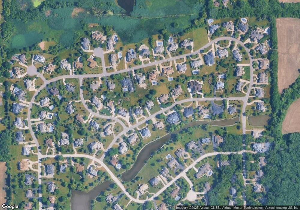
Map
Nearby Homes
- 137 Singletree Rd
- 80 Windmill Rd
- 87 Windmill Rd
- 11701 Waters Edge Trail
- 14467 Creekview Dr
- 15141 Arbor Dr
- 11637 Brookview Ln
- 14405 Creekwood Dr
- 15220 Arbor Dr
- 14328 Pinewood Dr
- 11501 W 143rd St
- 11132 Alexis Ln
- 11155 Lizmore Ln Unit 35B
- 10924 Crystal Springs Ln
- 12222 Rambling Rd
- 11901 Windemere Ct Unit 301
- 11851 Windemere Ct Unit 201
- 11257 Melrose Ct
- 11049 Lizmore Ln Unit 40B
- 11901 Somerset Rd Unit 2
- 133 Singletree Rd
- 135 Singletree Rd
- 149 Silo Ridge Rd N
- 132 Harvest Crossing
- 148 Silo Ridge Rd N Unit 3
- 112 Singletree Rd
- 150 Silo Ridge Rd N
- 111 Singletree Rd
- 136 Singletree Rd Unit 3
- 113 Singletree Rd
- 147 Silo Ridge Rd N
- 131 Harvest Crossing
- 110 Singletree Rd
- 151 Silo Ridge Rd N
- 114 Singletree Rd
- 146 Silo Ridge Rd N
- 129 Harvest Crossing
- 33 Silo Ridge Rd N Unit 3
- 34 Silo Ridge Rd N
- 130 Harvest Crossing