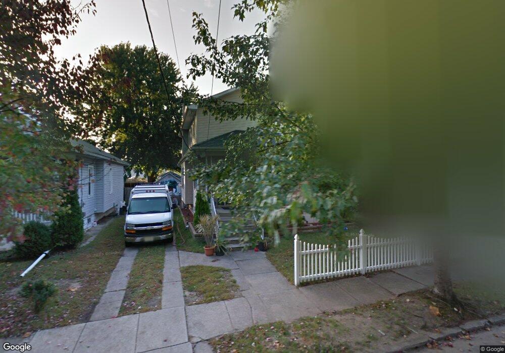
134 Stanley Ave Westville, NJ 08093
Estimated Value: $203,616 - $305,000
--
Bed
--
Bath
918
Sq Ft
$269/Sq Ft
Est. Value
About This Home
This home is located at 134 Stanley Ave, Westville, NJ 08093 and is currently estimated at $246,654, approximately $268 per square foot. 134 Stanley Ave is a home located in Gloucester County with nearby schools including Parkview Elementary School and Gateway Regional High School.
Ownership History
Date
Name
Owned For
Owner Type
Purchase Details
Closed on
Mar 13, 2006
Sold by
Rebel Brian A
Bought by
Rebel Brian A and Rebel Tracy L
Current Estimated Value
Home Financials for this Owner
Home Financials are based on the most recent Mortgage that was taken out on this home.
Original Mortgage
$113,000
Outstanding Balance
$64,240
Interest Rate
6.27%
Mortgage Type
Purchase Money Mortgage
Estimated Equity
$182,414
Purchase Details
Closed on
May 15, 1997
Sold by
Tarpine Anna Mae Alice and Tarpine Janet Ethel
Bought by
Rebel Brian A and Vogel Tracy L
Home Financials for this Owner
Home Financials are based on the most recent Mortgage that was taken out on this home.
Original Mortgage
$69,200
Interest Rate
8.09%
Mortgage Type
FHA
Create a Home Valuation Report for This Property
The Home Valuation Report is an in-depth analysis detailing your home's value as well as a comparison with similar homes in the area
Home Values in the Area
Average Home Value in this Area
Purchase History
| Date | Buyer | Sale Price | Title Company |
|---|---|---|---|
| Rebel Brian A | -- | -- | |
| Rebel Brian A | $70,000 | Federation Title Agency Inc |
Source: Public Records
Mortgage History
| Date | Status | Borrower | Loan Amount |
|---|---|---|---|
| Open | Rebel Brian A | $113,000 | |
| Previous Owner | Rebel Brian A | $69,200 |
Source: Public Records
Tax History Compared to Growth
Tax History
| Year | Tax Paid | Tax Assessment Tax Assessment Total Assessment is a certain percentage of the fair market value that is determined by local assessors to be the total taxable value of land and additions on the property. | Land | Improvement |
|---|---|---|---|---|
| 2025 | $6,159 | $113,200 | $22,200 | $91,000 |
| 2024 | $5,962 | $113,200 | $22,200 | $91,000 |
| 2023 | $5,962 | $113,200 | $22,200 | $91,000 |
| 2022 | $5,791 | $113,200 | $22,200 | $91,000 |
| 2021 | $5,687 | $113,200 | $22,200 | $91,000 |
| 2020 | $5,515 | $113,200 | $22,200 | $91,000 |
| 2019 | $5,370 | $113,200 | $22,200 | $91,000 |
| 2018 | $5,138 | $113,200 | $22,200 | $91,000 |
| 2017 | $5,277 | $113,200 | $22,200 | $91,000 |
| 2016 | $5,103 | $113,200 | $22,200 | $91,000 |
| 2015 | $4,874 | $113,200 | $22,200 | $91,000 |
| 2014 | $4,987 | $134,200 | $34,200 | $100,000 |
Source: Public Records
Map
Nearby Homes
- 130 Stanley Ave
- 138 Stanley Ave
- 126 Stanley Ave
- 142 Stanley Ave
- 122 Stanley Ave
- 133 Klinger Ave
- 129 Klinger Ave
- 146 Stanley Ave
- 118 Stanley Ave
- 137 Klinger Ave
- 721 Almonesson Rd
- 133 Stanley Ave
- 141 Klinger Ave
- 114 Stanley Ave
- 129 Stanley Ave
- 113 Klinger Ave
- 717 Almonesson Rd
- 125 Stanley Ave
- 110 Stanley Ave
- 117 Stanley Ave