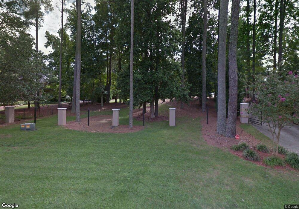
134 Stanley Rd Fayetteville, GA 30214
Estimated Value: $656,000 - $789,000
5
Beds
6
Baths
4,632
Sq Ft
$154/Sq Ft
Est. Value
About This Home
This home is located at 134 Stanley Rd, Fayetteville, GA 30214 and is currently estimated at $713,199, approximately $153 per square foot. 134 Stanley Rd is a home located in Fayette County with nearby schools including Bennett's Mill Middle School, Fayette County High School, and Rising Star Montessori School.
Ownership History
Date
Name
Owned For
Owner Type
Purchase Details
Closed on
Mar 13, 2020
Sold by
Najarian Capital Llc
Bought by
Phillips Carroll
Current Estimated Value
Home Financials for this Owner
Home Financials are based on the most recent Mortgage that was taken out on this home.
Original Mortgage
$264,100
Outstanding Balance
$233,452
Interest Rate
3.4%
Mortgage Type
New Conventional
Estimated Equity
$479,747
Purchase Details
Closed on
Oct 1, 2019
Sold by
Wellman Don J
Bought by
Najarian Capital Llc
Purchase Details
Closed on
Mar 22, 2019
Sold by
Wellman Don
Bought by
Stanley Road Land Trust
Purchase Details
Closed on
Sep 21, 2018
Sold by
Stanley Road Land Trust
Bought by
Wellman Don
Purchase Details
Closed on
Mar 28, 2014
Sold by
Williams Y
Bought by
Bullard B and Stanley Road Land Trust
Purchase Details
Closed on
Dec 22, 2000
Sold by
Bullard B
Bought by
Wellman Don
Home Financials for this Owner
Home Financials are based on the most recent Mortgage that was taken out on this home.
Original Mortgage
$480,000
Interest Rate
8.83%
Mortgage Type
New Conventional
Purchase Details
Closed on
Jul 20, 1999
Sold by
Amexem Dev Inc
Bought by
Wellman Don J
Home Financials for this Owner
Home Financials are based on the most recent Mortgage that was taken out on this home.
Original Mortgage
$368,000
Interest Rate
9.13%
Mortgage Type
New Conventional
Purchase Details
Closed on
Jan 29, 1999
Sold by
Nationsbank and Nationsbank Tx
Bought by
Amexem Dev Inc
Purchase Details
Closed on
Nov 4, 1997
Sold by
Brown Jonnie M
Bought by
Nationsbanc Mtg Corp
Purchase Details
Closed on
Jun 20, 1994
Sold by
Pearce Hw Patricia
Bought by
Brown Jonnie
Create a Home Valuation Report for This Property
The Home Valuation Report is an in-depth analysis detailing your home's value as well as a comparison with similar homes in the area
Home Values in the Area
Average Home Value in this Area
Purchase History
| Date | Buyer | Sale Price | Title Company |
|---|---|---|---|
| Phillips Carroll | $278,000 | -- | |
| Najarian Capital Llc | $230,062 | -- | |
| Stanley Road Land Trust | -- | -- | |
| Wellman Don | -- | -- | |
| Bullard B | -- | -- | |
| Wellman Don | -- | -- | |
| Wellman Don J | $460,000 | -- | |
| Amexem Dev Inc | $306,900 | -- | |
| Nationsbanc Mtg Corp | $429,000 | -- | |
| Brown Jonnie | $387,000 | -- |
Source: Public Records
Mortgage History
| Date | Status | Borrower | Loan Amount |
|---|---|---|---|
| Open | Phillips Carroll | $264,100 | |
| Previous Owner | Wellman Don | $480,000 | |
| Previous Owner | Wellman Don J | $368,000 | |
| Closed | Brown Jonnie | -- |
Source: Public Records
Tax History Compared to Growth
Tax History
| Year | Tax Paid | Tax Assessment Tax Assessment Total Assessment is a certain percentage of the fair market value that is determined by local assessors to be the total taxable value of land and additions on the property. | Land | Improvement |
|---|---|---|---|---|
| 2024 | $6,758 | $248,976 | $48,000 | $200,976 |
| 2023 | $6,674 | $239,520 | $48,000 | $191,520 |
| 2022 | $6,285 | $225,960 | $48,000 | $177,960 |
| 2021 | $3,136 | $111,200 | $16,400 | $94,800 |
| 2020 | $4,367 | $154,080 | $26,000 | $128,080 |
| 2019 | $4,505 | $157,240 | $26,000 | $131,240 |
| 2018 | $5,591 | $195,680 | $18,000 | $177,680 |
| 2017 | $5,265 | $183,720 | $18,000 | $165,720 |
| 2016 | $4,816 | $164,640 | $18,000 | $146,640 |
| 2015 | $4,517 | $151,840 | $18,000 | $133,840 |
| 2014 | $4,100 | $135,560 | $18,000 | $117,560 |
| 2013 | -- | $127,880 | $0 | $0 |
Source: Public Records
Map
Nearby Homes
- E OF 118 Stanley Rd
- 115 Westside Way
- 234 Stanley Rd
- Columbia Plan at Arborvale
- Oak Park Plan at Arborvale
- Esquire Place Plan at Arborvale
- Cumberland Plan at Arborvale
- Lehigh Plan at Arborvale
- 140 Rolison Way
- 150 Rolison Way
- 235 Rolison Way
- 170 Liberty Dr
- 150 Bartow St Unit LOT 5
- 140 Bartow St Unit LOT 4
- 130 Reese St
- 190 Rolison Way
- 125 Marilyn Ct
- 560 Hawthorne Dr
- 145 Woodsong Dr
- 225 S Shore Terrace
- 134 Stanley Rd Unit 23
- 128 Stanley Rd
- 160 Victoria Dr
- 150 Victoria Dr
- 144 Stanley Rd
- 170 Victoria Dr
- 124 Stanley Rd
- 180 Victoria Dr
- 180 Victoria Dr
- 139 Stanley Rd
- 140 Victoria Dr
- 190 Victoria Dr
- 118 Stanley Rd
- 130 Victoria Dr
- 110 Westside Way Unit 1
- 110 Westside Way
- 0 Victoria Dr Unit 9004260
- 0 Victoria Dr Unit 9075754
- 0 Victoria Dr Unit 9056409
- 0 Victoria Dr Unit 8452291
