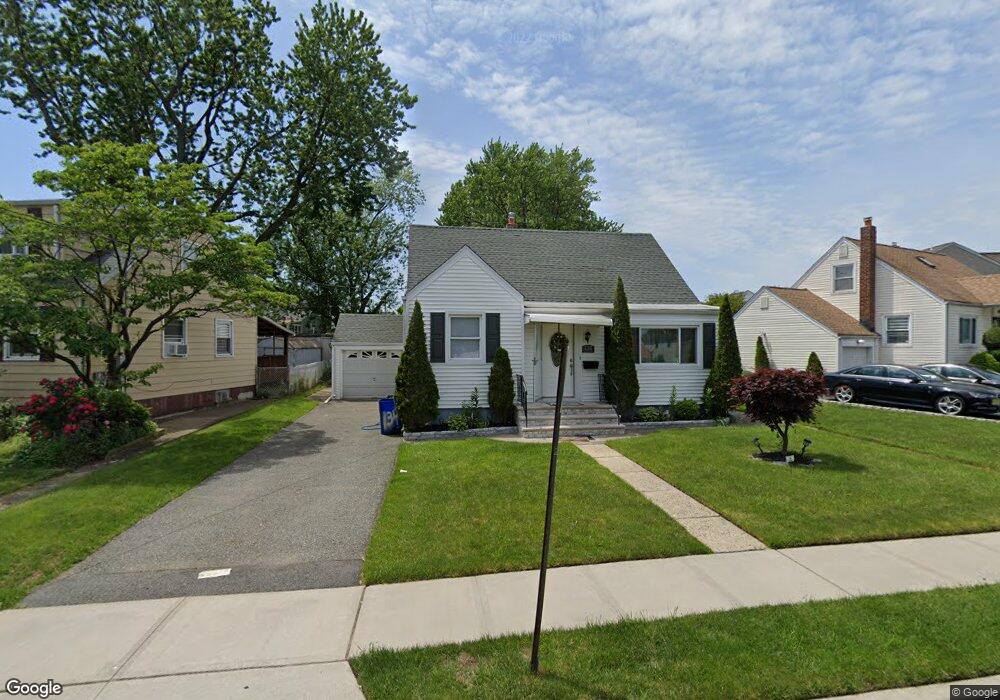
134 Summit Cir Little Ferry, NJ 07643
Estimated Value: $589,869 - $696,000
--
Bed
--
Bath
1,671
Sq Ft
$375/Sq Ft
Est. Value
About This Home
This home is located at 134 Summit Cir, Little Ferry, NJ 07643 and is currently estimated at $626,217, approximately $374 per square foot. 134 Summit Cir is a home located in Bergen County with nearby schools including Memorial Middle School, Academy of Greatness & Excellence, and George Washington School.
Ownership History
Date
Name
Owned For
Owner Type
Purchase Details
Closed on
Sep 14, 2005
Sold by
Desotto Vincent De
Bought by
Basulto Eric and Sparks Tina
Current Estimated Value
Home Financials for this Owner
Home Financials are based on the most recent Mortgage that was taken out on this home.
Original Mortgage
$332,000
Outstanding Balance
$178,402
Interest Rate
5.92%
Estimated Equity
$447,815
Create a Home Valuation Report for This Property
The Home Valuation Report is an in-depth analysis detailing your home's value as well as a comparison with similar homes in the area
Home Values in the Area
Average Home Value in this Area
Purchase History
| Date | Buyer | Sale Price | Title Company |
|---|---|---|---|
| Basulto Eric | $415,000 | -- |
Source: Public Records
Mortgage History
| Date | Status | Borrower | Loan Amount |
|---|---|---|---|
| Open | Basulto Eric | $332,000 |
Source: Public Records
Tax History Compared to Growth
Tax History
| Year | Tax Paid | Tax Assessment Tax Assessment Total Assessment is a certain percentage of the fair market value that is determined by local assessors to be the total taxable value of land and additions on the property. | Land | Improvement |
|---|---|---|---|---|
| 2025 | $10,283 | $443,600 | $267,700 | $175,900 |
| 2024 | $10,043 | $410,500 | $238,900 | $171,600 |
| 2023 | $9,836 | $365,600 | $206,400 | $159,200 |
| 2022 | $9,836 | $334,200 | $185,700 | $148,500 |
| 2021 | $9,945 | $307,500 | $170,700 | $136,800 |
| 2020 | $9,719 | $299,600 | $168,200 | $131,400 |
| 2019 | $9,513 | $291,800 | $165,700 | $126,100 |
| 2018 | $9,408 | $285,000 | $163,200 | $121,800 |
| 2017 | $9,395 | $281,200 | $160,700 | $120,500 |
| 2016 | $9,278 | $276,800 | $158,200 | $118,600 |
| 2015 | $9,069 | $270,800 | $153,200 | $117,600 |
| 2014 | $9,217 | $349,800 | $247,900 | $101,900 |
Source: Public Records
Map
Nearby Homes
- 468a Liberty St Unit 101
- 462 Liberty St Unit 462A Unit 101
- 468 Liberty St Unit 201
- 46 Grand St
- 38 Moonachie Rd Unit 315
- 23 Grand St
- 12 Brandt St
- 78 Poplar Ave
- 180 Main St
- 43 Kaufman Ave
- 305 Phillips Ave
- 85 Grove St
- 1 Rossi Ct
- 25 Poplar Ave
- 70 Main St Unit 1
- 46 John St
- 48 Main St Unit 1
- 418 Taylor Ave
- 44 Grove St
- 352 Chestnut Ave
- 138 Summit Cir
- 128 Summit Cir
- 142 Summit Cir
- 120 Summit Cir
- 25 Sand Hill Ct
- 21 Sand Hill Ct
- 114 Summit Cir
- 146 Summit Cir
- 135 Summit Cir
- 131 Summit Cir
- 127 Summit Cir
- 141 Summit Cir
- 112 Summit Cir
- 152 Summit Cir
- 2 Indian Lake Dr
- 29 Sand Hill Ct
- 145 Summit Cir
- 108 Summit Cir
- 117 Summit Cir
- 45 Indian Lake Dr