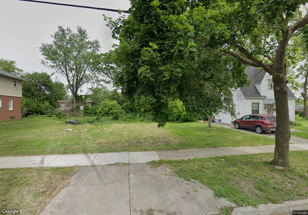
134 Summit St Pontiac, MI 48342
Estimated Value: $22,497 - $133,000
Studio
1
Bath
--
Sq Ft
5,663
Sq Ft Lot
About This Home
This home is located at 134 Summit St, Pontiac, MI 48342 and is currently estimated at $57,624. 134 Summit St is a home located in Oakland County with nearby schools including Alcott School, Pontiac Middle School, and Pontiac High School.
Ownership History
Date
Name
Owned For
Owner Type
Purchase Details
Closed on
May 16, 2025
Sold by
Rhodes Robert
Bought by
Goldman Andrew
Current Estimated Value
Home Financials for this Owner
Home Financials are based on the most recent Mortgage that was taken out on this home.
Original Mortgage
$252,000
Outstanding Balance
$250,479
Interest Rate
6.83%
Mortgage Type
VA
Estimated Equity
-$192,855
Purchase Details
Closed on
Jul 26, 2021
Sold by
Remix Properties Llc
Bought by
Rhodes Robert
Purchase Details
Closed on
Mar 29, 2019
Sold by
Meisner Andrew E
Bought by
Remix Properties
Purchase Details
Closed on
May 1, 1996
Sold by
Liberty Property Inv
Bought by
Bloom Earl A
Purchase Details
Closed on
Nov 21, 1995
Sold by
Mjb Trust
Bought by
Liberty Property Inv
Purchase Details
Closed on
Nov 15, 1995
Sold by
East Long Lake Tr
Bought by
Liberty Property Inv
Create a Home Valuation Report for This Property
The Home Valuation Report is an in-depth analysis detailing your home's value as well as a comparison with similar homes in the area
Home Values in the Area
Average Home Value in this Area
Purchase History
| Date | Buyer | Sale Price | Title Company |
|---|---|---|---|
| Goldman Andrew | $252,000 | None Listed On Document | |
| Goldman Andrew | $252,000 | None Listed On Document | |
| Rhodes Robert | -- | None Available | |
| Remix Properties | -- | None Available | |
| Bloom Earl A | -- | -- | |
| Liberty Property Inv | -- | -- | |
| Liberty Property Inv | $4,000 | -- |
Source: Public Records
Mortgage History
| Date | Status | Borrower | Loan Amount |
|---|---|---|---|
| Open | Goldman Andrew | $252,000 | |
| Closed | Goldman Andrew | $252,000 |
Source: Public Records
Tax History
| Year | Tax Paid | Tax Assessment Tax Assessment Total Assessment is a certain percentage of the fair market value that is determined by local assessors to be the total taxable value of land and additions on the property. | Land | Improvement |
|---|---|---|---|---|
| 2025 | $123 | $4,750 | $0 | $0 |
| 2024 | $118 | $2,380 | $0 | $0 |
| 2023 | $113 | $2,160 | $0 | $0 |
| 2022 | $309 | $1,960 | $0 | $0 |
| 2021 | $78 | $1,530 | $0 | $0 |
| 2020 | $77 | $1,400 | $0 | $0 |
| 2019 | $0 | $0 | $0 | $0 |
| 2018 | $0 | $0 | $0 | $0 |
| 2017 | $0 | $0 | $0 | $0 |
| 2016 | $0 | $0 | $0 | $0 |
| 2015 | -- | $1,550 | $0 | $0 |
| 2014 | -- | $1,550 | $0 | $0 |
| 2011 | -- | $12,130 | $0 | $0 |
Source: Public Records
Map
Nearby Homes
- 202 W Rundell St
- 173 High St
- 54 Hudson Ave
- 686 Lounsbury Ave
- 233 Baldwin Ave
- 245 W Howard St
- 111 Hamilton St
- 0 Riker St
- 00 Riker St
- 86 Hamilton St
- 32 Riker St
- 753 Stanley Ave
- 130 Baldwin Ave
- 320 Cesar e Chavez Ave
- 73 Poplar Ave
- 744 Saint Clair St
- 45 N Merrimac St
- 22 N Merrimac St
- 474 N Saginaw St
- 217 Edison St
- 130 Summit St
- 126 Summit St
- 122 Summit St
- 144 Summit St
- 137 Summit St
- 135 Pingree Ave
- 131 Summit St
- 139 Pingree Ave
- 143 Summit St
- 127 Pingree Ave
- 145 Summit St
- 143 Pingree Ave
- 114 Summit St
- 131 Pingree Ave
- 204 W. Rut Pingree Ave
- 123 Pingree Ave
- 119 Summit St
- 147 Summit St
- 110 Summit St
- 155 Pingree Ave
Your Personal Tour Guide
Ask me questions while you tour the home.