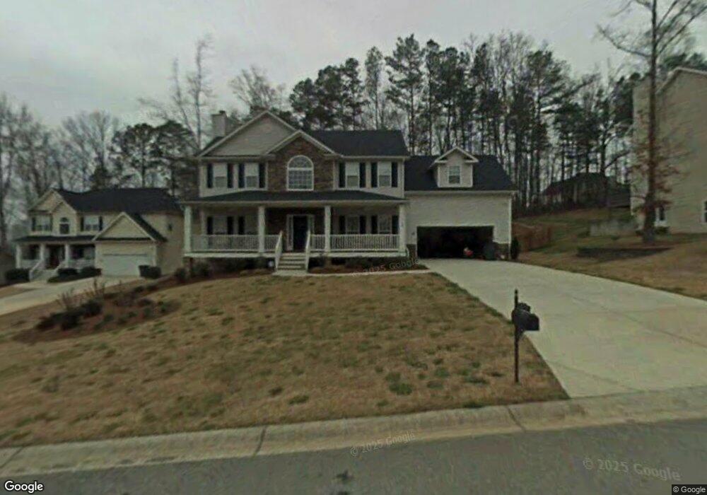
134 Tannin Ct Dallas, GA 30132
East Paulding County NeighborhoodEstimated Value: $375,000 - $394,107
5
Beds
3
Baths
2,427
Sq Ft
$159/Sq Ft
Est. Value
About This Home
This home is located at 134 Tannin Ct, Dallas, GA 30132 and is currently estimated at $386,277, approximately $159 per square foot. 134 Tannin Ct is a home located in Paulding County with nearby schools including Northside Elementary School, Lena Mae Moses Middle School, and East Paulding High School.
Ownership History
Date
Name
Owned For
Owner Type
Purchase Details
Closed on
Jun 14, 2004
Sold by
Westley Timothy A and Westley Rachel A
Bought by
Whalen John T
Current Estimated Value
Home Financials for this Owner
Home Financials are based on the most recent Mortgage that was taken out on this home.
Original Mortgage
$9,520
Interest Rate
6.25%
Mortgage Type
Unknown
Purchase Details
Closed on
Nov 26, 2002
Sold by
First Ga Homes Inc
Bought by
Westley Timothy A
Home Financials for this Owner
Home Financials are based on the most recent Mortgage that was taken out on this home.
Original Mortgage
$179,900
Interest Rate
6.08%
Mortgage Type
New Conventional
Create a Home Valuation Report for This Property
The Home Valuation Report is an in-depth analysis detailing your home's value as well as a comparison with similar homes in the area
Home Values in the Area
Average Home Value in this Area
Purchase History
| Date | Buyer | Sale Price | Title Company |
|---|---|---|---|
| Whalen John T | $190,400 | -- | |
| Westley Timothy A | $179,900 | -- |
Source: Public Records
Mortgage History
| Date | Status | Borrower | Loan Amount |
|---|---|---|---|
| Closed | Whalen John T | $9,520 | |
| Open | Whalen John T | $152,320 | |
| Previous Owner | Westley Timothy A | $179,900 |
Source: Public Records
Tax History Compared to Growth
Tax History
| Year | Tax Paid | Tax Assessment Tax Assessment Total Assessment is a certain percentage of the fair market value that is determined by local assessors to be the total taxable value of land and additions on the property. | Land | Improvement |
|---|---|---|---|---|
| 2024 | $3,706 | $152,224 | $14,000 | $138,224 |
| 2023 | $4,191 | $163,276 | $14,000 | $149,276 |
| 2022 | $3,493 | $135,880 | $14,000 | $121,880 |
| 2021 | $3,202 | $112,060 | $14,000 | $98,060 |
| 2020 | $2,857 | $98,052 | $14,000 | $84,052 |
| 2019 | $2,885 | $97,608 | $14,000 | $83,608 |
| 2018 | $2,529 | $85,804 | $14,000 | $71,804 |
| 2017 | $2,291 | $76,848 | $14,000 | $62,848 |
| 2016 | $2,310 | $78,252 | $14,000 | $64,252 |
| 2015 | $2,355 | $78,372 | $14,000 | $64,372 |
| 2014 | $1,921 | $62,724 | $14,000 | $48,724 |
| 2013 | -- | $59,200 | $12,000 | $47,200 |
Source: Public Records
Map
Nearby Homes
- 104 Jones Ridge Dr
- 67 Severn Way
- 836 Stable View Loop
- 345 Stable View Loop
- 103 Cyrilla Walk
- 18 Ardmore Place
- 169 Kipling Dr
- 251 Eagle Lake Dr
- 359 Westridge Cir
- 345 Westridge Cir
- The Langford Plan at Jones Ridge
- The James Plan at Jones Ridge
- The Palmer Plan at Jones Ridge
- The Lancaster Plan at Jones Ridge
- The Ellijay Plan at Jones Ridge
- The Avery Plan at Jones Ridge
- The McGinnis Plan at Jones Ridge
- 265 Jabo Carter Rd
- 214 River Run Dr
- 214 River Run Dr Unit 83