134 Tes Dr Choudrant, LA 71227
Estimated Value: $282,000 - $290,000
4
Beds
2
Baths
2,338
Sq Ft
$122/Sq Ft
Est. Value
About This Home
This home is located at 134 Tes Dr, Choudrant, LA 71227 and is currently estimated at $285,972, approximately $122 per square foot. 134 Tes Dr is a home located in Lincoln Parish with nearby schools including Choudrant Elementary School, Choudrant High School, and Ruston Junior High School.
Ownership History
Date
Name
Owned For
Owner Type
Purchase Details
Closed on
May 22, 2009
Sold by
Weststar Development Llc
Bought by
Rogers Tiarhonda D
Current Estimated Value
Home Financials for this Owner
Home Financials are based on the most recent Mortgage that was taken out on this home.
Original Mortgage
$162,800
Interest Rate
4.97%
Mortgage Type
Purchase Money Mortgage
Create a Home Valuation Report for This Property
The Home Valuation Report is an in-depth analysis detailing your home's value as well as a comparison with similar homes in the area
Purchase History
| Date | Buyer | Sale Price | Title Company |
|---|---|---|---|
| Rogers Tiarhonda D | $168,700 | None Available |
Source: Public Records
Mortgage History
| Date | Status | Borrower | Loan Amount |
|---|---|---|---|
| Previous Owner | Rogers Tiarhonda D | $162,800 |
Source: Public Records
Tax History
| Year | Tax Paid | Tax Assessment Tax Assessment Total Assessment is a certain percentage of the fair market value that is determined by local assessors to be the total taxable value of land and additions on the property. | Land | Improvement |
|---|---|---|---|---|
| 2025 | $1,652 | $21,383 | $2,160 | $19,223 |
| 2024 | $1,652 | $21,383 | $2,160 | $19,223 |
| 2023 | $1,449 | $18,027 | $1,896 | $16,131 |
| 2022 | $1,439 | $18,027 | $1,896 | $16,131 |
| 2021 | $1,415 | $18,027 | $1,896 | $16,131 |
| 2020 | $1,240 | $15,768 | $1,896 | $13,872 |
| 2019 | $1,310 | $16,406 | $1,896 | $14,510 |
| 2018 | $1,311 | $16,406 | $1,896 | $14,510 |
| 2017 | $1,314 | $16,406 | $1,896 | $14,510 |
| 2016 | $1,342 | $0 | $0 | $0 |
| 2015 | $1,301 | $14,718 | $1,860 | $12,858 |
| 2013 | $1,321 | $14,718 | $1,860 | $12,858 |
Source: Public Records
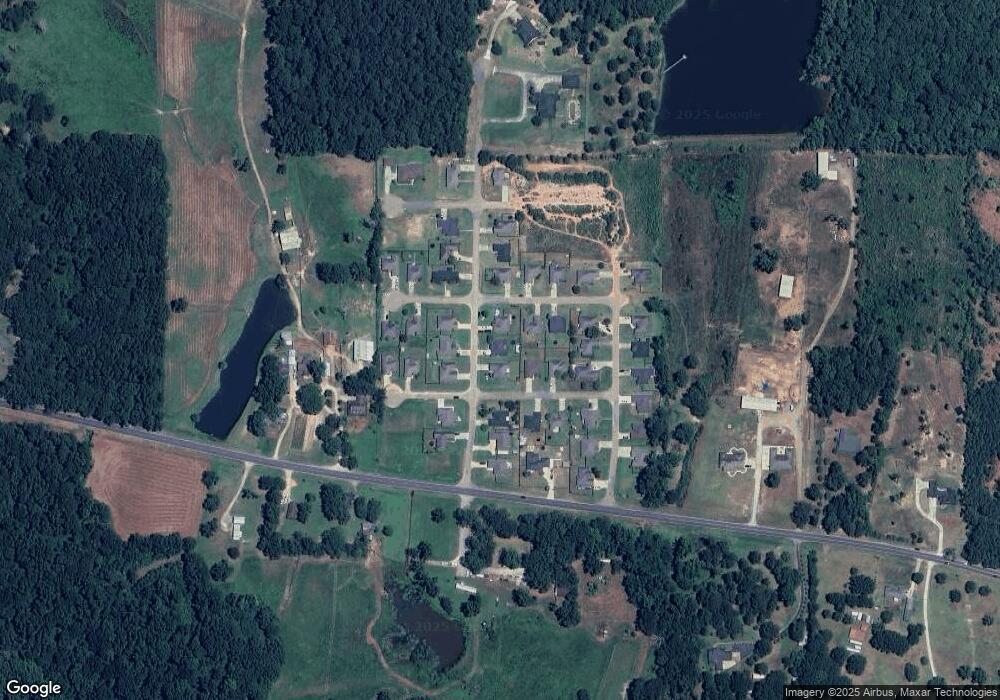
Map
Nearby Homes
- 219 Lamar Rd
- 500 Hogan Rd
- 00 Cheatwood Rd
- 0 N Depot St
- 634 Cheatwood Rd
- 510 Louisiana 556
- 0 Spillers Rd
- 0A Shortstraw R Par Road 404
- 0C SHortstraw Par Road 404
- 165 Loblolly Ln
- 1732 Highway 80
- 120 Lanes End Dr
- 220 Crestview Dr
- 448 Loblolly Ln
- 1950 Louisiana 821
- 201 Vintage Ln
- 197 Baxter Rd
- 145 Woodshire Ln
- 294 Moody Rd
- 120 Douglas Ln
- 138 Tes Dr
- 128 Tes Dr
- LOT #45 Tes Dr Unit Sheldon's View
- LOT #34 Tes Dr Unit Sheldon's View
- 137 Haley Ln
- 136 Ty Dr
- LOT #56 Haley Ln Unit Sheldon's View
- LOT #54 Haley Ln Unit Sheldon's View
- 135 Tes Dr
- 142 Ty Dr
- 147 Haley Ln
- 139 Tes Dr
- 129 Tes Dr
- 118 Tes Dr
- 131 Ty Dr
- 137 Ty Dr
- 136 Haley Ln
- 137 Sarah Dr
- 151 Tes Dr
- 112 Haley Ln
Your Personal Tour Guide
Ask me questions while you tour the home.