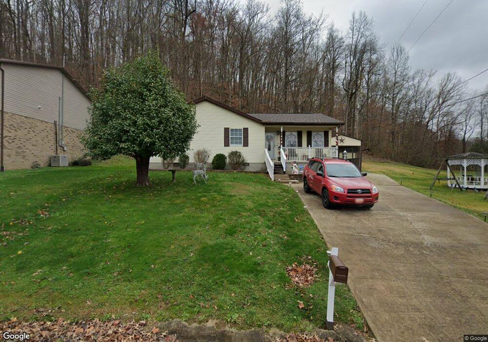
134 Top St Unit 1031 South Point, OH 45680
Burlington NeighborhoodEstimated Value: $137,000 - $170,348
3
Beds
1
Bath
1,456
Sq Ft
$110/Sq Ft
Est. Value
About This Home
This home is located at 134 Top St Unit 1031, South Point, OH 45680 and is currently estimated at $160,337, approximately $110 per square foot. 134 Top St Unit 1031 is a home located in Lawrence County with nearby schools including South Point High School and Grace Christian School.
Ownership History
Date
Name
Owned For
Owner Type
Purchase Details
Closed on
Aug 22, 2008
Sold by
Slater Hazel M
Bought by
Brammer Christy
Current Estimated Value
Home Financials for this Owner
Home Financials are based on the most recent Mortgage that was taken out on this home.
Original Mortgage
$75,050
Outstanding Balance
$49,209
Interest Rate
6.31%
Mortgage Type
Purchase Money Mortgage
Estimated Equity
$111,128
Purchase Details
Closed on
Oct 12, 1993
Sold by
Knapp Justine F
Bought by
Slater Vernon L and Slater Hazel
Create a Home Valuation Report for This Property
The Home Valuation Report is an in-depth analysis detailing your home's value as well as a comparison with similar homes in the area
Home Values in the Area
Average Home Value in this Area
Purchase History
| Date | Buyer | Sale Price | Title Company |
|---|---|---|---|
| Brammer Christy | $79,000 | Technetitle | |
| Slater Vernon L | $36,000 | -- |
Source: Public Records
Mortgage History
| Date | Status | Borrower | Loan Amount |
|---|---|---|---|
| Open | Brammer Christy | $75,050 |
Source: Public Records
Tax History Compared to Growth
Tax History
| Year | Tax Paid | Tax Assessment Tax Assessment Total Assessment is a certain percentage of the fair market value that is determined by local assessors to be the total taxable value of land and additions on the property. | Land | Improvement |
|---|---|---|---|---|
| 2024 | -- | $42,410 | $5,970 | $36,440 |
| 2023 | $1,279 | $42,410 | $5,970 | $36,440 |
| 2022 | $1,275 | $42,410 | $5,970 | $36,440 |
| 2021 | $1,017 | $32,260 | $5,260 | $27,000 |
| 2020 | $1,031 | $32,260 | $5,260 | $27,000 |
| 2019 | $1,026 | $32,260 | $5,260 | $27,000 |
| 2018 | $996 | $30,910 | $5,160 | $25,750 |
| 2017 | $994 | $30,910 | $5,160 | $25,750 |
| 2016 | $924 | $30,910 | $5,160 | $25,750 |
| 2015 | $822 | $26,890 | $5,430 | $21,460 |
| 2014 | $821 | $26,890 | $5,430 | $21,460 |
| 2013 | $819 | $26,890 | $5,430 | $21,460 |
Source: Public Records
Map
Nearby Homes
- 320 Township Road 1086
- 6944 County Road 1
- 6478 County Road 1
- 161 Township Road 1020
- 4812 Parkside Place
- 4618 Sunset Dr
- 4226 Magazine Ave
- 158 1st St W
- 4328 Hughes St
- 4322 Hughes St
- 4307 Hughes St
- 1110 N Jefferson Dr
- 41 Township Rd
- 260 Kentucky St
- 1543 N Jefferson Dr
- 0 Township Road 135
- 283 High St Unit 283 High Street, CER
- 1145 Waco Rd
- 404 Township Road 135
- 245 Township Rd
- 134 Twp Rd 510n
- 134 Twp Rd 1060
- 112 Top St Unit 1025
- 162 Township Road 1031
- 149 Top St Unit 1189
- 149 Top St Unit 1030
- 113 Top St Unit 1373
- 113 Top St Unit 1356
- 113 Top St Unit 1030
- 113 Township Road 1030
- 209 Township Road 1335 Unit TWP
- 86 Township Road 1031
- 10 Township Road 1334
- 195 Township Road 1335 Unit TWP
- 30 Township Road 1334
- 72 Township Road 1031
- 240 Township Road 1336
- 240 Township Road 1336 Unit TWP
- 252 Township Road 1336
- 252 Township Road 1336 Unit TWP