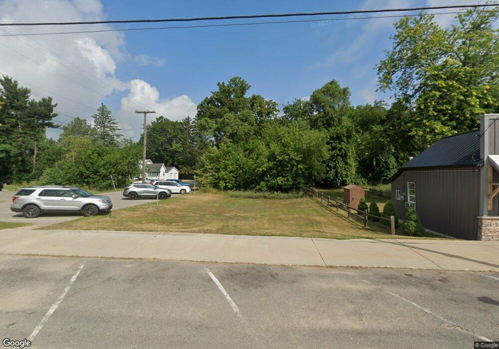
134 W 2nd St Trufant, MI 49347
Estimated Value: $255,000
--
Bed
--
Bath
3,000
Sq Ft
$85/Sq Ft
Est. Value
About This Home
This home is located at 134 W 2nd St, Trufant, MI 49347 and is currently estimated at $255,000, approximately $85 per square foot. 134 W 2nd St is a home located in Montcalm County with nearby schools including Lakeview Elementary School, Lakeview Middle School, and Lakeview High School.
Ownership History
Date
Name
Owned For
Owner Type
Purchase Details
Closed on
Oct 9, 2008
Sold by
Sawdy Marcia A
Bought by
Naylor Penelope S
Current Estimated Value
Purchase Details
Closed on
Apr 1, 2008
Sold by
Britton Carey E Lc
Bought by
Montcalm County Treasurer
Purchase Details
Closed on
Mar 1, 2008
Sold by
Britton Carey E Lc
Bought by
Montcalm County Treasurer
Purchase Details
Closed on
Feb 14, 2008
Sold by
Montcalm County Treasurer
Bought by
Montcalm County Treasurer
Purchase Details
Closed on
Mar 1, 2007
Sold by
Britton Carey E Lc
Bought by
Montcalm County Treasurer
Purchase Details
Closed on
Apr 23, 2001
Sold by
Britton Arlene E Lc
Bought by
Britton Carey E Lc
Create a Home Valuation Report for This Property
The Home Valuation Report is an in-depth analysis detailing your home's value as well as a comparison with similar homes in the area
Home Values in the Area
Average Home Value in this Area
Purchase History
| Date | Buyer | Sale Price | Title Company |
|---|---|---|---|
| Naylor Penelope S | $510 | None Available | |
| Naylor Penelope S | $500 | -- | |
| Montcalm County Treasurer | -- | -- | |
| Montcalm County Treasurer | -- | -- | |
| Montcalm County Treasurer | -- | -- | |
| Montcalm County Treasurer | -- | -- | |
| Britton Carey E Lc | -- | -- |
Source: Public Records
Tax History Compared to Growth
Tax History
| Year | Tax Paid | Tax Assessment Tax Assessment Total Assessment is a certain percentage of the fair market value that is determined by local assessors to be the total taxable value of land and additions on the property. | Land | Improvement |
|---|---|---|---|---|
| 2025 | $134 | $17,300 | $0 | $0 |
| 2024 | $131 | $4,700 | $0 | $0 |
| 2023 | -- | $3,500 | $0 | $0 |
| 2022 | -- | $3,500 | $0 | $0 |
| 2021 | -- | $2,800 | $0 | $0 |
| 2020 | -- | -- | $0 | $0 |
| 2019 | -- | -- | $0 | $0 |
| 2018 | -- | -- | $0 | $0 |
| 2017 | -- | -- | $0 | $0 |
| 2016 | -- | -- | $0 | $0 |
| 2015 | -- | -- | $0 | $0 |
| 2014 | -- | -- | $0 | $0 |
Source: Public Records
Map
Nearby Homes
- 12468 22 Mile Rd NE
- 0 Gravel Ridge Rd
- 13020 Spruceridge Rd
- 17149 Spruce Cove Trail
- 17157 Spruce Cove Trail
- 17163 Spruce Cove Trail
- 13142 Spruce Ridge Dr NE
- 11170 W Briggs Rd
- 15607 W Cannonsville Rd
- 2380 W Shore Dr
- 4142 Fogeson Dr
- 2512 Rainbow Lake Dr
- 12409 Mcmurty Dr
- 12651 Maston Lake Dr
- 16617 W Stanton Rd
- 2761 N Johnson Rd
- 12432 Mcmurty Dr NE
- 12513 Mcmurty Dr NE
- 16585 Oakum Ave NE
- 16856 W Stanton Rd
