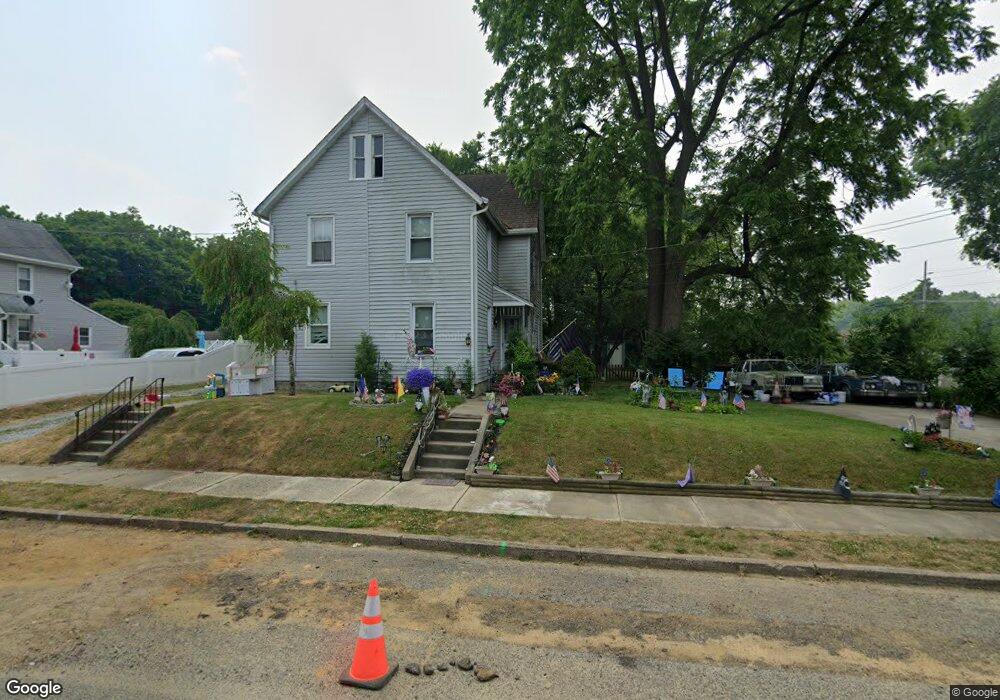
134 W Clinton St Clayton, NJ 08312
Estimated Value: $215,000 - $260,000
3
Beds
1
Bath
862
Sq Ft
$272/Sq Ft
Est. Value
About This Home
This home is located at 134 W Clinton St, Clayton, NJ 08312 and is currently estimated at $234,576, approximately $272 per square foot. 134 W Clinton St is a home located in Gloucester County with nearby schools including Herma S. Simmons Elementary School, Clayton Middle School, and Clayton High School.
Ownership History
Date
Name
Owned For
Owner Type
Purchase Details
Closed on
Feb 23, 2011
Sold by
Chaykowsky Walter B and Beach John Michael
Bought by
Henderson Lloyd D
Current Estimated Value
Home Financials for this Owner
Home Financials are based on the most recent Mortgage that was taken out on this home.
Original Mortgage
$65,250
Interest Rate
4.99%
Mortgage Type
New Conventional
Purchase Details
Closed on
Sep 5, 2003
Sold by
Stephensen Carla M and Eno Carla M
Bought by
Chaykowsky Walter B and Beach John Michael
Create a Home Valuation Report for This Property
The Home Valuation Report is an in-depth analysis detailing your home's value as well as a comparison with similar homes in the area
Home Values in the Area
Average Home Value in this Area
Purchase History
| Date | Buyer | Sale Price | Title Company |
|---|---|---|---|
| Henderson Lloyd D | $89,000 | Fidelity Natl Title Ins Co | |
| Chaykowsky Walter B | $40,000 | Congress |
Source: Public Records
Mortgage History
| Date | Status | Borrower | Loan Amount |
|---|---|---|---|
| Previous Owner | Henderson Lloyd D | $65,250 |
Source: Public Records
Tax History Compared to Growth
Tax History
| Year | Tax Paid | Tax Assessment Tax Assessment Total Assessment is a certain percentage of the fair market value that is determined by local assessors to be the total taxable value of land and additions on the property. | Land | Improvement |
|---|---|---|---|---|
| 2025 | $5,433 | $219,500 | $70,500 | $149,000 |
| 2024 | $3,382 | $219,500 | $70,500 | $149,000 |
| 2023 | $3,382 | $83,700 | $29,300 | $54,400 |
| 2022 | $3,345 | $83,700 | $29,300 | $54,400 |
| 2021 | $3,305 | $83,700 | $29,300 | $54,400 |
| 2020 | $3,312 | $83,700 | $29,300 | $54,400 |
| 2019 | $3,256 | $83,700 | $29,300 | $54,400 |
| 2018 | $3,210 | $83,700 | $29,300 | $54,400 |
| 2017 | $3,155 | $83,700 | $29,300 | $54,400 |
| 2016 | $3,122 | $83,700 | $29,300 | $54,400 |
| 2015 | $3,030 | $83,700 | $29,300 | $54,400 |
| 2014 | $2,924 | $83,700 | $29,300 | $54,400 |
Source: Public Records
Map
Nearby Homes
- 131 W Clinton St
- 100 Aura Rd Unit 112
- 100 Aura Rd Unit 212
- 100 Aura Rd Unit 311
- 100 Aura Rd Unit 111
- 100 Aura Rd Unit 110
- 124 W Howard St
- 238 W Center St
- 125 W Clayton Ave
- 216 E Howard St
- 807 N New St
- 745 W Clayton Ave
- 320 E Clayton Ave
- 760 W Clayton Ave
- 180 S Dennis Dr
- 170 S Dennis Dr
- 510 Coleman Dr
- 7 Hawthorn Way
- 237 S Delsea Dr
- 6 Dubois Ave
- 132 W Clinton St
- 140 W Clinton St
- 124 W Clinton St
- 118 W Clinton St
- 135 W Clinton St
- 440 N Broad St
- 440 N Broad St Unit B
- 125 W Clinton St
- 143 W Clinton St
- 419 N Broad St
- 419 N Broad St Unit A
- 419 N Broad St Unit B
- 112 W Clinton St
- 147 W Academy St
- 115 W Clinton St
- 115 W Clinton St Unit B
- 115 W Clinton St Unit A
- 434 N Broad St
- 444 N Broad St
- 106 W Clinton St