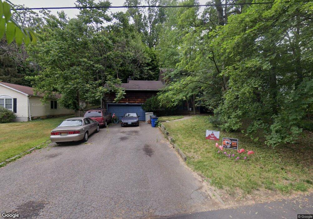
134 W End Ave Summit, NJ 07901
Estimated Value: $1,044,913 - $1,577,000
Studio
--
Bath
1,824
Sq Ft
$740/Sq Ft
Est. Value
About This Home
This home is located at 134 W End Ave, Summit, NJ 07901 and is currently estimated at $1,349,478, approximately $739 per square foot. 134 W End Ave is a home located in Union County with nearby schools including L C Johnson Summit Middle School, Summit Sr High School, and Kent Place School.
Ownership History
Date
Name
Owned For
Owner Type
Purchase Details
Closed on
Apr 30, 2020
Sold by
Ozimek Louis K and Ozimek Donna M
Bought by
Ozimek Louis K and Ozimek Donna M
Current Estimated Value
Home Financials for this Owner
Home Financials are based on the most recent Mortgage that was taken out on this home.
Original Mortgage
$275,100
Outstanding Balance
$241,143
Interest Rate
3.2%
Mortgage Type
New Conventional
Estimated Equity
$1,108,335
Purchase Details
Closed on
May 4, 1992
Bought by
Ryden Richard W
Create a Home Valuation Report for This Property
The Home Valuation Report is an in-depth analysis detailing your home's value as well as a comparison with similar homes in the area
Home Values in the Area
Average Home Value in this Area
Purchase History
| Date | Buyer | Sale Price | Title Company |
|---|---|---|---|
| Ozimek Louis K | -- | Inspire Closing Services Llc | |
| Ryden Richard W | $308,500 | -- |
Source: Public Records
Mortgage History
| Date | Status | Borrower | Loan Amount |
|---|---|---|---|
| Open | Ozimek Louis K | $275,100 |
Source: Public Records
Tax History
| Year | Tax Paid | Tax Assessment Tax Assessment Total Assessment is a certain percentage of the fair market value that is determined by local assessors to be the total taxable value of land and additions on the property. | Land | Improvement |
|---|---|---|---|---|
| 2025 | $13,970 | $320,700 | $163,100 | $157,600 |
| 2024 | $13,877 | $320,700 | $163,100 | $157,600 |
| 2023 | $13,877 | $320,700 | $163,100 | $157,600 |
| 2022 | $13,736 | $320,700 | $163,100 | $157,600 |
| 2021 | $13,845 | $320,700 | $163,100 | $157,600 |
| 2020 | $13,983 | $320,700 | $163,100 | $157,600 |
| 2019 | $13,999 | $320,700 | $163,100 | $157,600 |
| 2018 | $13,909 | $320,700 | $163,100 | $157,600 |
| 2017 | $13,999 | $320,700 | $163,100 | $157,600 |
| 2016 | $13,793 | $320,700 | $163,100 | $157,600 |
| 2015 | $13,524 | $320,700 | $163,100 | $157,600 |
| 2014 | $13,174 | $320,700 | $163,100 | $157,600 |
Source: Public Records
Map
Nearby Homes
- 709 Springfield Ave Unit One
- 709 Springfield Ave Unit 4
- 709 Springfield Ave Unit 2
- 709 Springfield Ave Unit 3
- 25 Bedford Rd
- 11 Mount Vernon Ave
- 55 River Rd
- 154 Woodland Ave
- 25 Division Ave
- 40 Prospect St
- 61 Tulip St
- 67 Tulip St
- 64 Tulip St
- 139 Riveredge Dr
- 105 Riveredge Dr
- 17 Coachlight Dr
- 20 Pittsford Way
- 50 Canterbury Rd
- 195 Hillside Ave
- 23 Euclid Ave
- 132 W End Ave
- 142 Colonial Rd
- 128 W End Ave
- 144 Colonial Rd
- 146 Colonial Rd
- 131 W End Ave
- 129 W End Ave
- 148 Colonial Rd
- 125 W End Ave
- 150 Colonial Rd
- 122 W End Ave
- 147 Colonial Rd
- 145 Colonial Rd
- 152 Colonial Rd
- 149 Colonial Rd
- 186 Kent Place Blvd
- 118 W End Ave
- 121 W End Ave
- 151 Colonial Rd
- 154 Colonial Rd
Your Personal Tour Guide
Ask me questions while you tour the home.