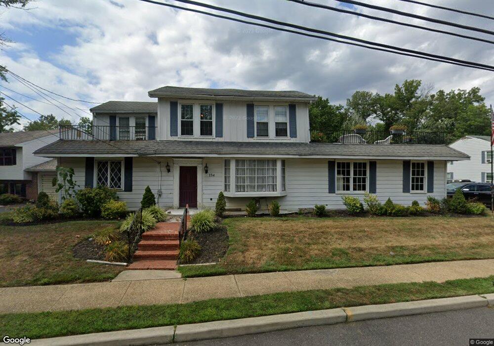
134 W Somerdale Rd Somerdale, NJ 08083
Estimated Value: $237,000 - $387,000
--
Bed
--
Bath
2,831
Sq Ft
$116/Sq Ft
Est. Value
About This Home
This home is located at 134 W Somerdale Rd, Somerdale, NJ 08083 and is currently estimated at $327,463, approximately $115 per square foot. 134 W Somerdale Rd is a home located in Camden County with nearby schools including Somerdale Park School, Sterling High School, and Saint John Paul II Regional School.
Ownership History
Date
Name
Owned For
Owner Type
Purchase Details
Closed on
Dec 1, 2023
Sold by
Clark Samuel
Bought by
Phoenix Son Enterprises Llc
Current Estimated Value
Purchase Details
Closed on
Dec 30, 2022
Sold by
Whelan Brian
Bought by
Clark Samuel
Purchase Details
Closed on
Sep 3, 2009
Sold by
Whelan Brian M
Bought by
Whelan Brian M
Home Financials for this Owner
Home Financials are based on the most recent Mortgage that was taken out on this home.
Original Mortgage
$110,000
Interest Rate
5.36%
Mortgage Type
Purchase Money Mortgage
Create a Home Valuation Report for This Property
The Home Valuation Report is an in-depth analysis detailing your home's value as well as a comparison with similar homes in the area
Home Values in the Area
Average Home Value in this Area
Purchase History
| Date | Buyer | Sale Price | Title Company |
|---|---|---|---|
| Phoenix Son Enterprises Llc | -- | None Listed On Document | |
| Clark Samuel | $200,000 | Homestead Title | |
| Clark Samuel | $200,000 | Homestead Title | |
| Whelan Brian M | $180,000 | -- |
Source: Public Records
Mortgage History
| Date | Status | Borrower | Loan Amount |
|---|---|---|---|
| Previous Owner | Whelan Brian M | $110,000 |
Source: Public Records
Tax History Compared to Growth
Tax History
| Year | Tax Paid | Tax Assessment Tax Assessment Total Assessment is a certain percentage of the fair market value that is determined by local assessors to be the total taxable value of land and additions on the property. | Land | Improvement |
|---|---|---|---|---|
| 2025 | $8,581 | $184,100 | $28,900 | $155,200 |
| 2024 | $8,213 | $184,100 | $28,900 | $155,200 |
| 2023 | $8,213 | $184,100 | $28,900 | $155,200 |
| 2022 | $7,863 | $184,100 | $28,900 | $155,200 |
| 2021 | $8,080 | $184,100 | $28,900 | $155,200 |
| 2020 | $7,879 | $184,100 | $28,900 | $155,200 |
| 2019 | $7,736 | $184,100 | $28,900 | $155,200 |
| 2018 | $7,926 | $184,100 | $28,900 | $155,200 |
| 2017 | $7,841 | $184,100 | $28,900 | $155,200 |
| 2016 | $7,624 | $184,100 | $28,900 | $155,200 |
| 2015 | $7,515 | $184,100 | $28,900 | $155,200 |
| 2014 | $7,202 | $184,100 | $28,900 | $155,200 |
Source: Public Records
Map
Nearby Homes
- 9 N Hilltop Ave
- 21 Hiawatha Rd
- 39 N Hilltop Ave
- 148 Dartmouth Ave
- 67 Minnetonka Rd
- 123 Dartmouth Ave
- 24 N White Horse Pike
- 605 Tait Rd
- 0 E Atlantic Ave Unit NJCD2059602
- 116 W Crestwood Ave
- 5 S Warwick Rd
- 305 Fairview Ave
- 218 E Somerdale Rd
- 0 Orchard Ave
- 412 N White Horse Pike
- 708 W Earl Ave
- 715 W Somerdale Rd
- 120 Webster Ave
- 316 Garden Ave
- 211 Park Ave
- 128 W Somerdale Rd
- 131 W Somerdale Rd
- 123 W Somerdale Rd
- 5 Gloucester Ave
- 132 Ogg Ave
- 140 W Somerdale Rd
- 128 Ogg Ave
- 7 Gloucester Ave
- 118 W Somerdale Rd
- 212 Ogg Ave
- 206 Ogg Ave
- 200 Ogg Ave
- 6 Gloucester Ave
- 124 Ogg Ave
- 114 W Somerdale Rd
- 118 Ogg Ave
- 8 Gloucester Ave
- 9 Gloucester Ave
- 2 Nokomis Rd
- 3 Navajo Rd