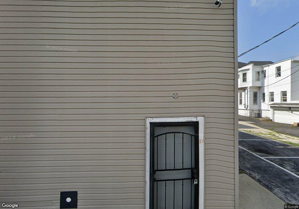
134 W Tiffin St Unit A Fostoria, OH 44830
Estimated Value: $188,939 - $231,000
1
Bed
2
Baths
1,280
Sq Ft
$164/Sq Ft
Est. Value
About This Home
This home is located at 134 W Tiffin St Unit A, Fostoria, OH 44830 and is currently estimated at $209,485, approximately $163 per square foot. 134 W Tiffin St Unit A is a home located in Seneca County with nearby schools including Fostoria Intermediate Elementary School and Fostoria Junior/Senior High School.
Ownership History
Date
Name
Owned For
Owner Type
Purchase Details
Closed on
Dec 15, 2021
Sold by
Suzann Saalman
Bought by
Fry Mark E
Current Estimated Value
Home Financials for this Owner
Home Financials are based on the most recent Mortgage that was taken out on this home.
Original Mortgage
$181,649
Outstanding Balance
$167,025
Interest Rate
3.09%
Mortgage Type
FHA
Estimated Equity
$42,460
Purchase Details
Closed on
Aug 1, 2000
Sold by
Saalman Terry R
Bought by
Saalman Suzann
Purchase Details
Closed on
Sep 25, 1996
Sold by
Foust Earl Post # 73
Bought by
Saalman Terry R
Create a Home Valuation Report for This Property
The Home Valuation Report is an in-depth analysis detailing your home's value as well as a comparison with similar homes in the area
Home Values in the Area
Average Home Value in this Area
Purchase History
| Date | Buyer | Sale Price | Title Company |
|---|---|---|---|
| Fry Mark E | $185,000 | Acs Title | |
| Fry Mark E | $185,000 | Acs Title | |
| Saalman Suzann | -- | -- | |
| Saalman Terry R | $64,500 | -- |
Source: Public Records
Mortgage History
| Date | Status | Borrower | Loan Amount |
|---|---|---|---|
| Open | Fry Mark E | $181,649 | |
| Closed | Fry Mark E | $181,649 |
Source: Public Records
Tax History Compared to Growth
Tax History
| Year | Tax Paid | Tax Assessment Tax Assessment Total Assessment is a certain percentage of the fair market value that is determined by local assessors to be the total taxable value of land and additions on the property. | Land | Improvement |
|---|---|---|---|---|
| 2024 | $2,845 | $56,100 | $4,170 | $51,930 |
| 2023 | $2,850 | $56,100 | $4,170 | $51,930 |
| 2022 | $2,422 | $42,460 | $3,880 | $38,580 |
| 2021 | $1,968 | $42,460 | $3,880 | $38,580 |
| 2020 | $1,977 | $42,455 | $3,878 | $38,577 |
| 2019 | $1,670 | $37,006 | $3,472 | $33,534 |
| 2018 | $1,703 | $37,006 | $3,472 | $33,534 |
| 2017 | $1,224 | $37,006 | $3,472 | $33,534 |
| 2016 | $760 | $22,786 | $3,623 | $19,163 |
| 2015 | $748 | $22,786 | $3,623 | $19,163 |
| 2014 | $748 | $22,786 | $3,623 | $19,163 |
| 2013 | $880 | $24,767 | $3,938 | $20,829 |
Source: Public Records
Map
Nearby Homes
- 0 W South Route 12
- 133 E South St
- 203 N Union St
- 348 W South St
- 351 W South St
- 321 Mcdougal St
- 220 E High St
- 520 N Union St
- 509 College Ave
- 412 E Center St
- 540 N Poplar St
- 429 S Town St
- 723 N Union St
- 634 W Tiffin St
- 633 Maple St
- 603 N Vine St
- 461 W Lytle St
- 461 W Lytle St Unit 43
- 461 W Lytle St Unit 145
- 461 W Lytle St Unit 106
- 134 W Tiffin St
- 133 W Tiffin St
- 131 W Center St
- 112 W Tiffin St
- 115 /119 W Center St
- 200 W Tiffin St
- 115 W Center St
- 115-119 E Center St
- 201 W Tiffin St
- 207 W Tiffin St
- 125 S Main St
- 107 S Wood St
- 113 W Center St
- 109 S Main St
- 111 S Main St
- 4561 N Sr 23
- 4272 N Tr 47
- 7882 N Tr 64 Rd
- 7141 W Tr 34
- 1210 W T R 47 Rd