134 Waggoner Ct Fort Worth, TX 76108
Far West Fort Worth NeighborhoodEstimated Value: $750,000 - $883,000
3
Beds
4
Baths
3,604
Sq Ft
$234/Sq Ft
Est. Value
About This Home
This home is located at 134 Waggoner Ct, Fort Worth, TX 76108 and is currently estimated at $843,401, approximately $234 per square foot. 134 Waggoner Ct is a home located in Parker County with nearby schools including McCall Elementary School, Don R Daniel Ninth Grade Campus, and McAnally Intermediate School.
Ownership History
Date
Name
Owned For
Owner Type
Purchase Details
Closed on
Aug 15, 2003
Sold by
Siratt Donald L
Bought by
Mcguffee Robert W and Mcguffee Julie
Current Estimated Value
Purchase Details
Closed on
May 21, 1998
Bought by
Mcguffee Robert W and Mcguffee Julie
Purchase Details
Closed on
Sep 22, 1997
Bought by
Mcguffee Robert W and Mcguffee Julie
Purchase Details
Closed on
Jan 1, 1901
Bought by
Mcguffee Robert W and Mcguffee Julie
Create a Home Valuation Report for This Property
The Home Valuation Report is an in-depth analysis detailing your home's value as well as a comparison with similar homes in the area
Home Values in the Area
Average Home Value in this Area
Purchase History
| Date | Buyer | Sale Price | Title Company |
|---|---|---|---|
| Mcguffee Robert W | -- | -- | |
| Mcguffee Robert W | -- | -- | |
| Mcguffee Robert W | -- | -- | |
| Mcguffee Robert W | -- | -- |
Source: Public Records
Tax History Compared to Growth
Tax History
| Year | Tax Paid | Tax Assessment Tax Assessment Total Assessment is a certain percentage of the fair market value that is determined by local assessors to be the total taxable value of land and additions on the property. | Land | Improvement |
|---|---|---|---|---|
| 2025 | $12,045 | $809,829 | -- | -- |
| 2024 | $12,045 | $736,208 | -- | -- |
| 2023 | $12,045 | $669,280 | $0 | $0 |
| 2022 | $12,216 | $608,440 | $187,200 | $421,240 |
| 2021 | $13,210 | $608,440 | $187,200 | $421,240 |
| 2020 | $10,758 | $494,780 | $93,600 | $401,180 |
| 2019 | $11,405 | $494,780 | $93,600 | $401,180 |
| 2018 | $10,397 | $448,890 | $93,600 | $355,290 |
| 2017 | $10,529 | $448,890 | $93,600 | $355,290 |
| 2016 | $10,529 | $448,890 | $93,600 | $355,290 |
| 2015 | $8,227 | $448,890 | $93,600 | $355,290 |
| 2014 | $8,316 | $418,470 | $93,600 | $324,870 |
Source: Public Records
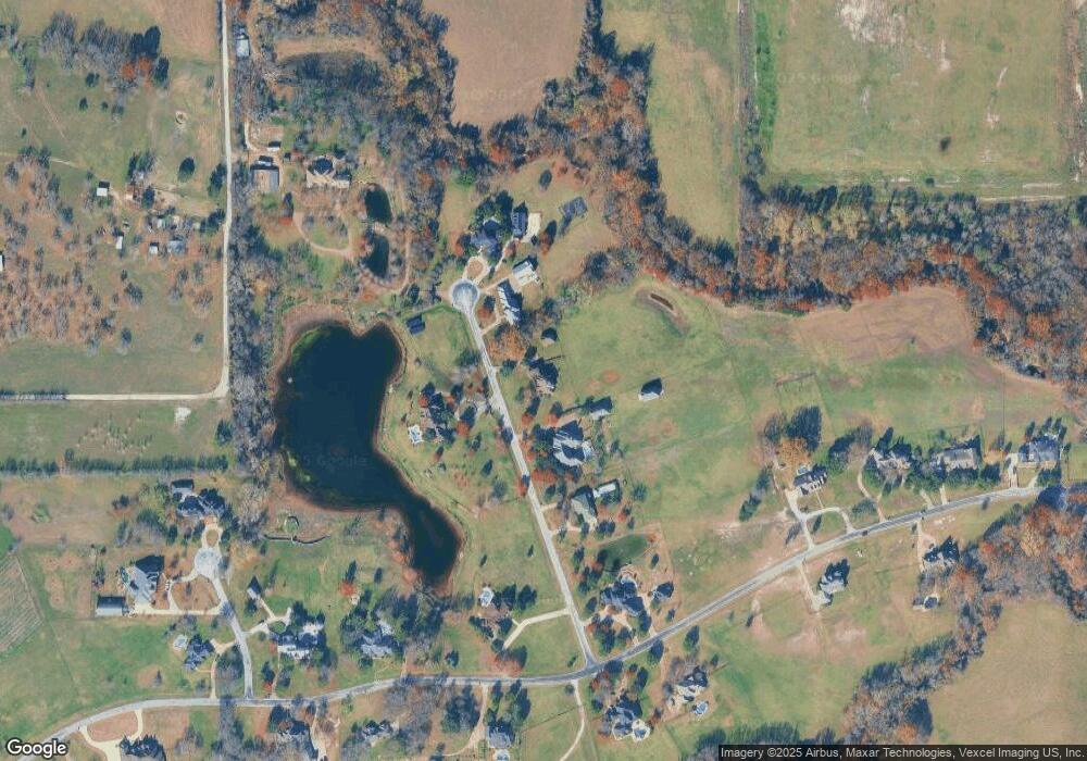
Map
Nearby Homes
- 420 Cattlebaron Parc Dr
- 694 Boling Ranch Rd
- 742 Boling Ranch Rd
- 813 Remuda Dr
- 741 Remuda Dr
- 142 Crown Ridge Ct
- 108 Stone Canyon Cir
- 145 Ranch Creek Dr
- 100 Stone Canyon Cir
- 101 Deer Crossing Way
- 1144 Rd
- 1144 Boling Ranch Rd N
- 175 N Boyce Ln
- 918 Boling Ranch Rd
- 129 Lariat Ct
- 104 Woodview Creek Trail
- 125 Branding Iron Ct
- 900 Reese Ln
- 301 Silver Canyon Dr
- 313 Silver Canyon Dr
- 122 Waggoner Ct
- 146 Waggoner Ct
- 133 Waggoner Ct
- 110 Waggoner Ct
- 158 Waggoner Ct
- 158 Waggoner Ct
- 200 Cattlebaron Parc Dr
- 102 Waggoner Ct
- 156 Cattlebaron Parc Dr
- 220 Cattlebaron Park Dr
- 159 Waggoner Ct
- 212 Cattlebaron Parc Dr
- 173 Cattlebaron Parc Dr
- 185 Cattlebaron Parc Dr
- 144 Cattlebaron Parc Dr
- 115 Matador Ct
- 224 Cattlebaron Parc Dr
- 213 Cattlebaron Parc Dr
- 159 Cattlebaron Parc Dr
- 450 Lewis Deas Rd