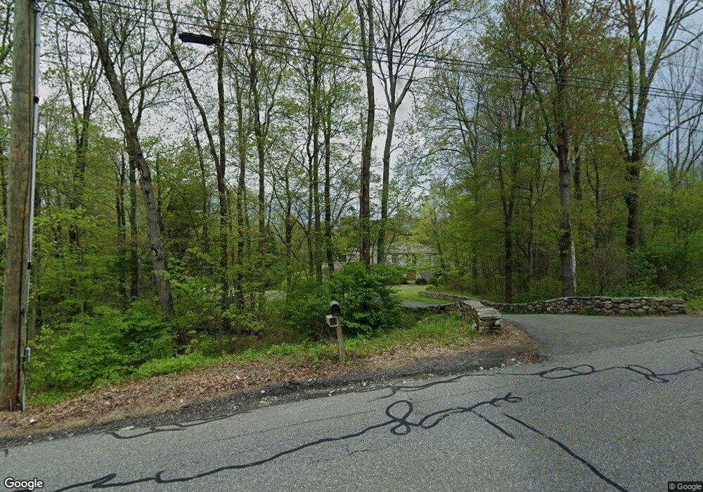
134 Weingart Rd Harwinton, CT 06791
Estimated Value: $719,000 - $809,000
4
Beds
3
Baths
3,477
Sq Ft
$218/Sq Ft
Est. Value
About This Home
This home is located at 134 Weingart Rd, Harwinton, CT 06791 and is currently estimated at $758,007, approximately $218 per square foot. 134 Weingart Rd is a home located in Litchfield County with nearby schools including Harwinton Consolidated School, Har-Bur Middle School, and Lewis S. Mills High School.
Ownership History
Date
Name
Owned For
Owner Type
Purchase Details
Closed on
Dec 29, 2011
Sold by
Pollock Stanley O
Bought by
Pollock Stanley O and Carlson Patricia A
Current Estimated Value
Purchase Details
Closed on
Apr 13, 1994
Sold by
Fletcher Karen B and Fletcher Marjorie C
Bought by
Pollock Stanley O
Create a Home Valuation Report for This Property
The Home Valuation Report is an in-depth analysis detailing your home's value as well as a comparison with similar homes in the area
Home Values in the Area
Average Home Value in this Area
Purchase History
| Date | Buyer | Sale Price | Title Company |
|---|---|---|---|
| Pollock Stanley O | -- | -- | |
| Pollock Stanley O | -- | -- | |
| Pollock Stanley O | $65,000 | -- | |
| Pollock Stanley O | $65,000 | -- |
Source: Public Records
Mortgage History
| Date | Status | Borrower | Loan Amount |
|---|---|---|---|
| Previous Owner | Pollock Stanley O | $392,000 | |
| Previous Owner | Pollock Stanley O | $140,000 | |
| Previous Owner | Pollock Stanley O | $58,000 |
Source: Public Records
Tax History Compared to Growth
Tax History
| Year | Tax Paid | Tax Assessment Tax Assessment Total Assessment is a certain percentage of the fair market value that is determined by local assessors to be the total taxable value of land and additions on the property. | Land | Improvement |
|---|---|---|---|---|
| 2025 | $10,665 | $463,680 | $117,430 | $346,250 |
| 2024 | $10,618 | $463,680 | $117,430 | $346,250 |
| 2023 | $9,871 | $338,050 | $87,860 | $250,190 |
| 2022 | $9,634 | $338,050 | $87,860 | $250,190 |
| 2021 | $9,702 | $338,050 | $87,860 | $250,190 |
| 2020 | $9,465 | $338,050 | $87,860 | $250,190 |
| 2019 | $9,465 | $338,050 | $87,860 | $250,190 |
| 2018 | $8,663 | $309,400 | $97,190 | $212,210 |
| 2017 | $8,601 | $309,400 | $97,190 | $212,210 |
| 2016 | $8,601 | $309,400 | $97,190 | $212,210 |
| 2015 | $8,447 | $309,400 | $97,190 | $212,210 |
| 2014 | $8,323 | $309,400 | $97,190 | $212,210 |
Source: Public Records
Map
Nearby Homes
- 29 Hannah Way
- 29 Branch Rd
- 528 Clearview Ave
- 144 Morningside Dr
- 69 Sunrise Dr
- 505 Harwinton Ave Unit 21
- 65 Oak Meadow Ln Unit 65
- 21 Oak Meadow Ln
- 33 Dawn Ave
- 172 Pierce St
- 119 Tognalli Dr
- 35 Calli St
- 71 Tognalli Dr
- 165 Birchwood Dr
- 63 Barbero Dr
- 141 Highfield Dr
- 74 Pine Ridge Dr
- 84 Wilmot St
- 178 Edgewood Dr
- 157 Edgewood Dr
- 152 Weingart Rd
- O Weingart Rd
- 116 Weingart Rd
- 105 Weingart Rd
- 9 Windmill Rd
- 15 Windmill Rd
- 1 Windmill Rd
- 19 Windmill Rd
- 0 Breezy Hill Rd
- 000 Breezy Hill Rd
- 160 Weingart Rd
- 93 Weingart Rd
- 163 Weingart Rd
- 10 Breezy Hill Rd
- 21 Windmill Rd
- 15 Breezy Hill Rd
- 23 Windmill Rd
- 90 Weingart Rd
- 90 Weingart Rd
- 90 Weingart Rd Unit 1
