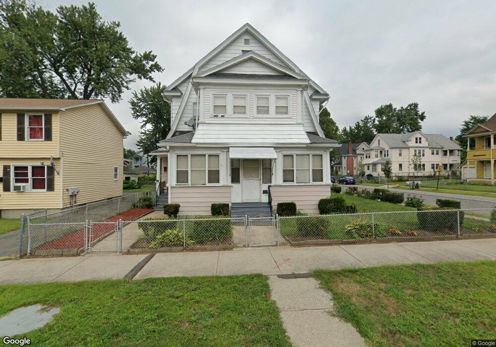
134 Westford Cir Unit 136 Springfield, MA 01109
Upper Hill NeighborhoodEstimated Value: $310,177 - $363,000
4
Beds
2
Baths
2,420
Sq Ft
$142/Sq Ft
Est. Value
About This Home
This home is located at 134 Westford Cir Unit 136, Springfield, MA 01109 and is currently estimated at $343,294, approximately $141 per square foot. 134 Westford Cir Unit 136 is a home located in Hampden County with nearby schools including Mary A. Dryden Veterans Memorial School, John J Duggan Middle, and Springfield High School of Science and Technology.
Ownership History
Date
Name
Owned For
Owner Type
Purchase Details
Closed on
Nov 3, 1989
Sold by
Clark Walter
Bought by
Crichlow Wolsley P
Current Estimated Value
Home Financials for this Owner
Home Financials are based on the most recent Mortgage that was taken out on this home.
Original Mortgage
$70,000
Interest Rate
9.9%
Mortgage Type
Purchase Money Mortgage
Create a Home Valuation Report for This Property
The Home Valuation Report is an in-depth analysis detailing your home's value as well as a comparison with similar homes in the area
Home Values in the Area
Average Home Value in this Area
Purchase History
| Date | Buyer | Sale Price | Title Company |
|---|---|---|---|
| Crichlow Wolsley P | $100,000 | -- |
Source: Public Records
Mortgage History
| Date | Status | Borrower | Loan Amount |
|---|---|---|---|
| Closed | Crichlow Wolsley P | $70,000 | |
| Closed | Crichlow Wolsley P | $20,000 |
Source: Public Records
Tax History Compared to Growth
Tax History
| Year | Tax Paid | Tax Assessment Tax Assessment Total Assessment is a certain percentage of the fair market value that is determined by local assessors to be the total taxable value of land and additions on the property. | Land | Improvement |
|---|---|---|---|---|
| 2025 | $4,422 | $282,000 | $30,500 | $251,500 |
| 2024 | $4,140 | $257,800 | $30,500 | $227,300 |
| 2023 | $3,439 | $200,200 | $27,800 | $172,400 |
| 2022 | $3,453 | $183,500 | $25,900 | $157,600 |
| 2021 | $3,300 | $174,600 | $18,400 | $156,200 |
| 2020 | $3,222 | $165,000 | $18,400 | $146,600 |
| 2019 | $2,968 | $150,800 | $15,700 | $135,100 |
| 2018 | $2,674 | $143,600 | $15,700 | $127,900 |
| 2017 | $2,674 | $136,000 | $14,700 | $121,300 |
| 2016 | $2,279 | $115,900 | $14,700 | $101,200 |
| 2015 | $2,270 | $115,400 | $14,700 | $100,700 |
Source: Public Records
Map
Nearby Homes
- 124-126 Westford Cir
- 179 Albemarle St
- 135-137 Suffolk St
- 21 Westford Cir
- 158 Norfolk St
- 88 Dunmoreland St
- 0 NS (24) Alden St
- 192-194 Westford Ave
- 62-64 Bristol St
- 111 Marlborough St
- 162 Northampton Ave
- 140 Northampton Ave
- 19 Westford Ave
- 67 Carlisle St
- 867 Roosevelt Ave
- 204 Arcadia Blvd
- 43 Colonial Ave
- 75 Carnavon Cir
- 129 Eastern Ave
- 290 Quincy St
- 128 Westford Cir Unit 130
- 140 Wellington St
- 124 Westford Cir Unit 126
- 126 Westford Cir
- 144 Westford Cir Unit 146
- 144-146 Westford Cir
- 134 Wellington St
- 139 Wellington St
- 118 Westford Cir Unit 120
- 159 Wellington St
- 129 Westford Cir
- 152 Westford Cir Unit 154
- 128 Wellington St Unit 130
- 152-154 Westford Cir
- 17 Braddock St Unit 19
- 145 Westford Cir
- 131 Wellington St Unit 133
- 114 Westford Cir
- 11 Braddock St Unit 15
- 29 Annawon St