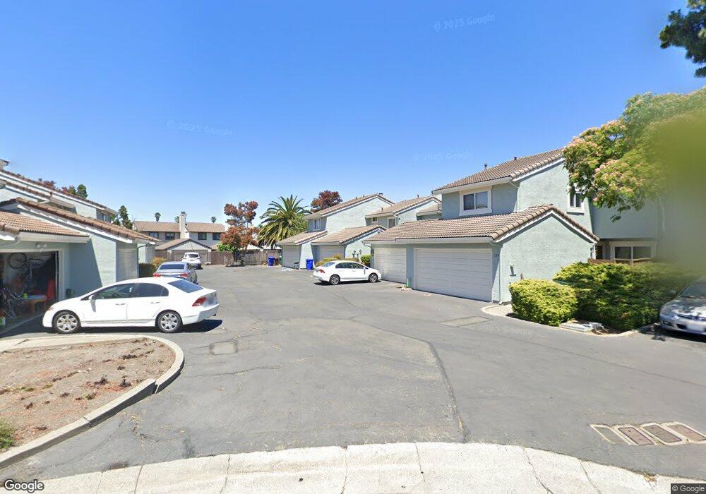
134 Westgate Cir San Pablo, CA 94806
Estimated Value: $428,922 - $481,000
3
Beds
2
Baths
1,314
Sq Ft
$346/Sq Ft
Est. Value
About This Home
This home is located at 134 Westgate Cir, San Pablo, CA 94806 and is currently estimated at $454,981, approximately $346 per square foot. 134 Westgate Cir is a home located in Contra Costa County with nearby schools including Lake Elementary School, Walter T. Helms Middle School, and Richmond High School.
Ownership History
Date
Name
Owned For
Owner Type
Purchase Details
Closed on
Dec 30, 2020
Sold by
Chan Joseph Chunming and Chan Sara S
Bought by
Chan Joseph Chunming and Chan Sara S
Current Estimated Value
Purchase Details
Closed on
Jul 20, 2004
Sold by
Coates Keith and Coates Deborah
Bought by
Chan Joseph C and Chan Sara S
Home Financials for this Owner
Home Financials are based on the most recent Mortgage that was taken out on this home.
Original Mortgage
$188,000
Outstanding Balance
$94,352
Interest Rate
6.29%
Mortgage Type
Purchase Money Mortgage
Estimated Equity
$360,629
Purchase Details
Closed on
Jun 26, 1998
Sold by
Phan Peter X
Bought by
Coates Keith and Coates Deborah
Home Financials for this Owner
Home Financials are based on the most recent Mortgage that was taken out on this home.
Original Mortgage
$94,400
Interest Rate
7.06%
Mortgage Type
Purchase Money Mortgage
Create a Home Valuation Report for This Property
The Home Valuation Report is an in-depth analysis detailing your home's value as well as a comparison with similar homes in the area
Home Values in the Area
Average Home Value in this Area
Purchase History
| Date | Buyer | Sale Price | Title Company |
|---|---|---|---|
| Chan Joseph Chunming | -- | None Available | |
| Chan Joseph C | $305,000 | Commonwealth Title | |
| Coates Keith | $118,000 | First American Title Guarant |
Source: Public Records
Mortgage History
| Date | Status | Borrower | Loan Amount |
|---|---|---|---|
| Open | Chan Joseph C | $188,000 | |
| Previous Owner | Coates Keith | $94,400 | |
| Closed | Coates Keith | $23,600 |
Source: Public Records
Tax History
| Year | Tax Paid | Tax Assessment Tax Assessment Total Assessment is a certain percentage of the fair market value that is determined by local assessors to be the total taxable value of land and additions on the property. | Land | Improvement |
|---|---|---|---|---|
| 2025 | $6,734 | $425,126 | $174,230 | $250,896 |
| 2024 | $6,458 | $416,791 | $170,814 | $245,977 |
| 2023 | $6,458 | $408,619 | $167,465 | $241,154 |
| 2022 | $6,366 | $400,608 | $164,182 | $236,426 |
| 2021 | $6,334 | $392,754 | $160,963 | $231,791 |
| 2019 | $5,680 | $357,000 | $146,310 | $210,690 |
| 2018 | $5,366 | $342,500 | $140,368 | $202,132 |
| 2017 | $4,592 | $285,000 | $116,802 | $168,198 |
| 2016 | $4,207 | $255,000 | $104,507 | $150,493 |
| 2015 | $3,546 | $203,000 | $83,196 | $119,804 |
| 2014 | $3,709 | $166,500 | $68,238 | $98,262 |
Source: Public Records
Map
Nearby Homes
- 124 Westgate Cir
- 113 Westgate Cir
- 2600 Giant Rd Unit 37
- 2600 Giant Rd Unit 35
- 4 Sheffield Ct
- 8 Sheffield Ct
- 2190 Giant Rd
- 2796 13th St
- 2636 17th St
- 2872 10th St Unit 70
- 1780 Road 20
- 2729 18th St
- 2857 16th St
- 2830 21st St Unit 32
- 1111 Stonington Ave
- 1002 Stanton Ave
- 812 Market Ave
- 1971 23rd St
- 1413 Post Ave
- 1840 6th St
- 132 Westgate Cir
- 130 Westgate Cir
- 1013 Hannon Dr
- 128 Westgate Cir
- 1002 Coalport St
- 140 Westgate Cir
- 142 Westgate Cir
- 1004 Coalport St
- 138 Westgate Cir
- 1023 Hannon Dr
- 136 Westgate Cir
- 1014 Coalport St
- 126 Westgate Cir
- 1033 Hannon Dr
- 137 Westgate Cir
- 2485 Manchester Ave
- 2507 Manchester Ave
- 2501 Manchester Ave
- 2515 Manchester Ave Unit 2
- 2515 Manchester Ave Unit 3
Your Personal Tour Guide
Ask me questions while you tour the home.