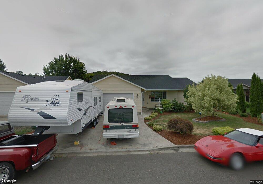
134 Winngate Ct Roseburg, OR 97471
Green NeighborhoodEstimated Value: $343,907 - $390,000
3
Beds
2
Baths
1,474
Sq Ft
$248/Sq Ft
Est. Value
About This Home
This home is located at 134 Winngate Ct, Roseburg, OR 97471 and is currently estimated at $365,977, approximately $248 per square foot. 134 Winngate Ct is a home located in Douglas County with nearby schools including Green Elementary School, John C. Fremont Middle School, and Roseburg High School.
Ownership History
Date
Name
Owned For
Owner Type
Purchase Details
Closed on
Oct 31, 2019
Sold by
Brown Richard S and Brown Kit M
Bought by
Brown Richard S and Brown Kit M
Current Estimated Value
Purchase Details
Closed on
Jan 13, 2004
Sold by
Stull Enterprises Inc
Bought by
Brown Richard S and Brown Kit M
Home Financials for this Owner
Home Financials are based on the most recent Mortgage that was taken out on this home.
Original Mortgage
$158,000
Interest Rate
6.24%
Mortgage Type
VA
Create a Home Valuation Report for This Property
The Home Valuation Report is an in-depth analysis detailing your home's value as well as a comparison with similar homes in the area
Home Values in the Area
Average Home Value in this Area
Purchase History
| Date | Buyer | Sale Price | Title Company |
|---|---|---|---|
| Brown Richard S | -- | None Available | |
| Brown Richard S | $159,550 | First American Title Ins Co |
Source: Public Records
Mortgage History
| Date | Status | Borrower | Loan Amount |
|---|---|---|---|
| Previous Owner | Brown Richard S | $158,000 |
Source: Public Records
Tax History Compared to Growth
Tax History
| Year | Tax Paid | Tax Assessment Tax Assessment Total Assessment is a certain percentage of the fair market value that is determined by local assessors to be the total taxable value of land and additions on the property. | Land | Improvement |
|---|---|---|---|---|
| 2024 | $1,515 | $161,954 | -- | -- |
| 2023 | $1,471 | $157,238 | $0 | $0 |
| 2022 | $1,428 | $152,655 | $0 | $0 |
| 2021 | $1,386 | $148,208 | $0 | $0 |
| 2020 | $1,400 | $143,895 | $0 | $0 |
| 2019 | $1,374 | $139,701 | $0 | $0 |
| 2018 | $1,342 | $135,632 | $0 | $0 |
| 2017 | $1,303 | $131,684 | $0 | $0 |
| 2016 | $1,279 | $127,853 | $0 | $0 |
| 2015 | $1,258 | $124,125 | $0 | $0 |
| 2014 | $1,219 | $120,506 | $0 | $0 |
| 2013 | -- | $116,992 | $0 | $0 |
Source: Public Records
Map
Nearby Homes
- 1300 Rolling Hills Rd
- 2197 Del Mar Dr
- 235 Umpqua View Dr
- 115 Silverado St
- 10 Carmel Ct
- 195 Rowan St
- 135 Othello Ave
- 189 Quincy Ave
- 114 Umpqua View Dr
- 490 Char St
- 2065 Bel Air Ct
- 717 Callahan Dr
- 807 Callahan Dr
- 783 Callahan Dr
- 2454 Landers Ave
- 2352 Castle Ave
- 1927 Green Ave
- 135 SW Quincetree Ct
- 1911 Green Ave
- 1895 Green Ave
- 142 Winngate Ct
- 120 Winngate Ct
- 149 Winngate Ct
- 4378 SW Stella St
- 4364 Stella St
- 164 Winngate Ct
- 4364 SW Stella St
- 135 Winngate Ct
- 4378 Stella St
- 121 Winngate Ct
- 163 Winngate Ct
- 176 Winngate Ct
- 4336 Stella St
- 139 Georginna Dr
- 177 Winngate Ct
- 155 Georginna Dr
- 123 Georginna Dr
- 141 Jensen Ct
- 171 Georginna Dr
- 163 Jensen Ct